May 10: Anarchist Mountain to Grand Forks (~107km)
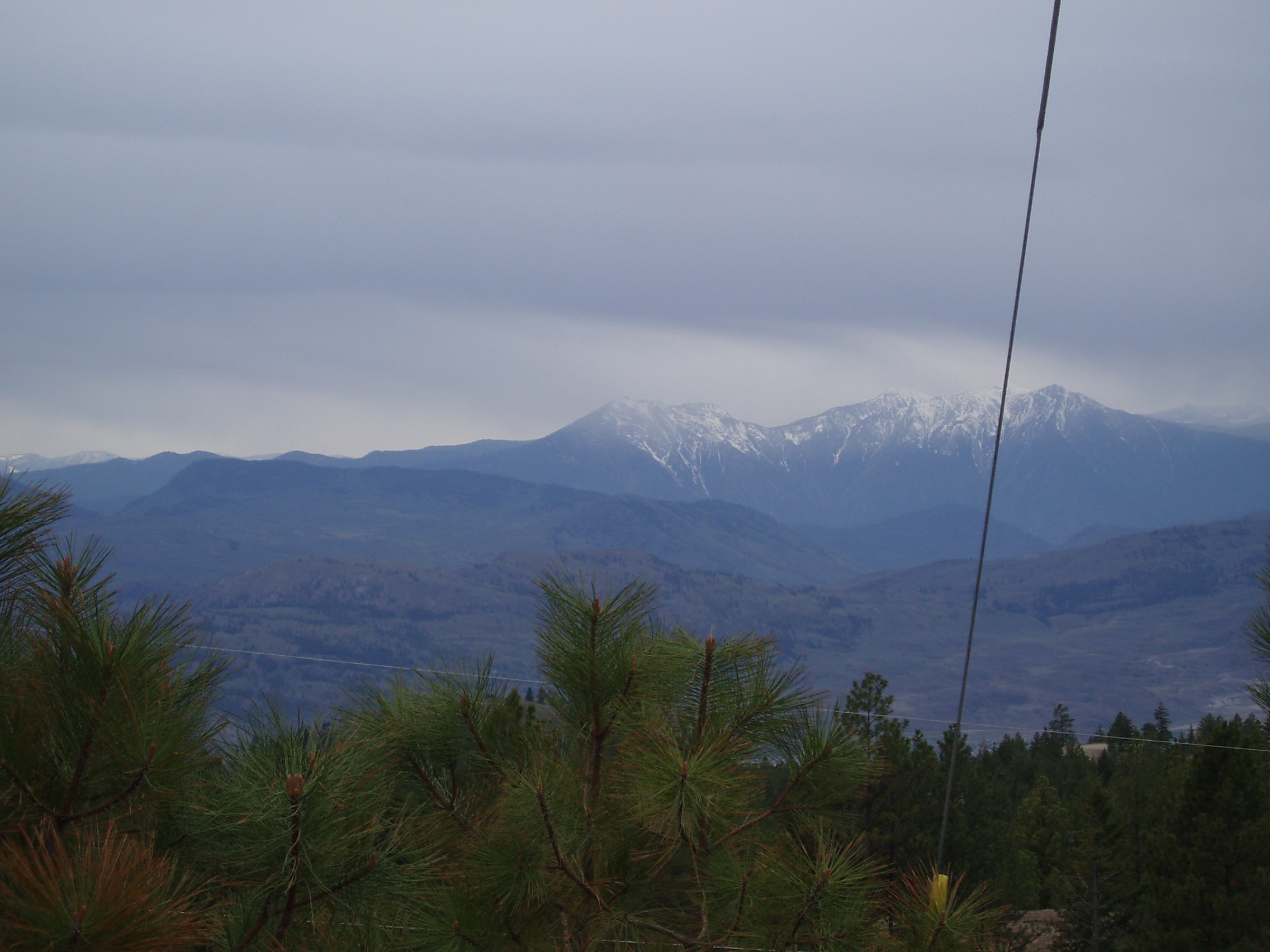
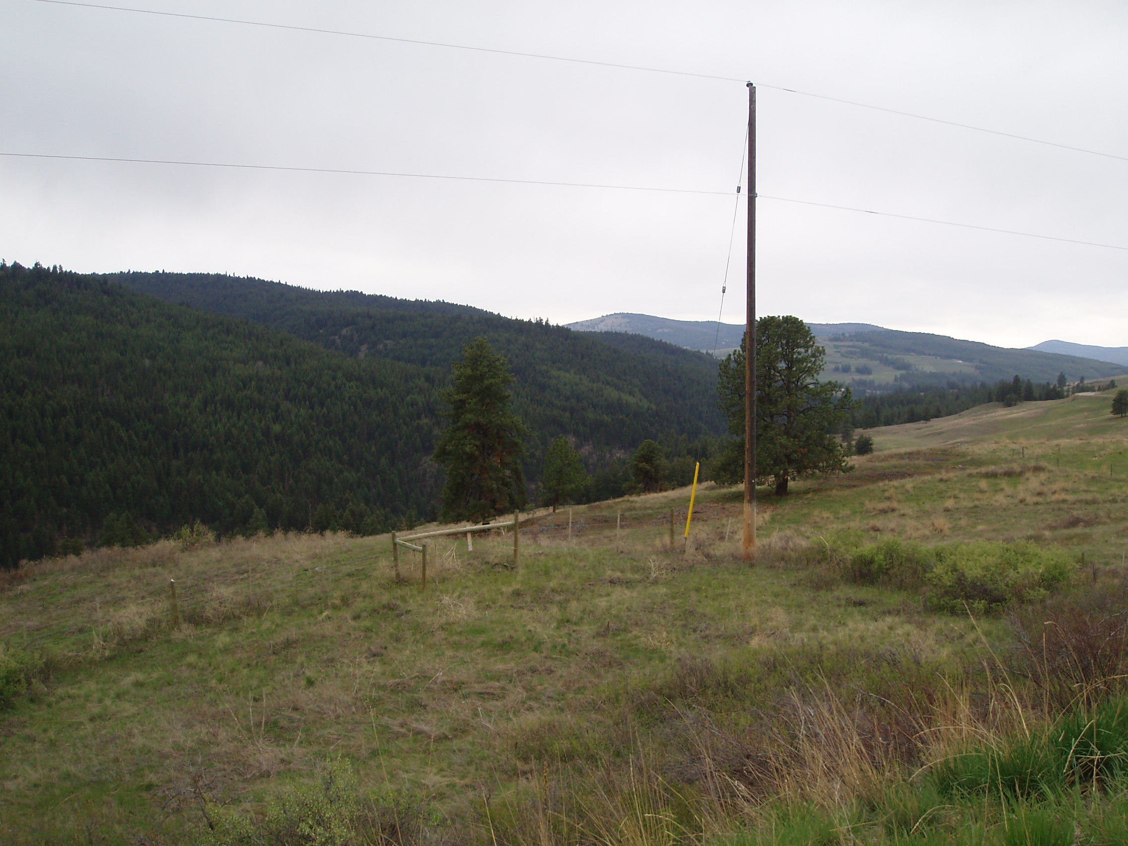
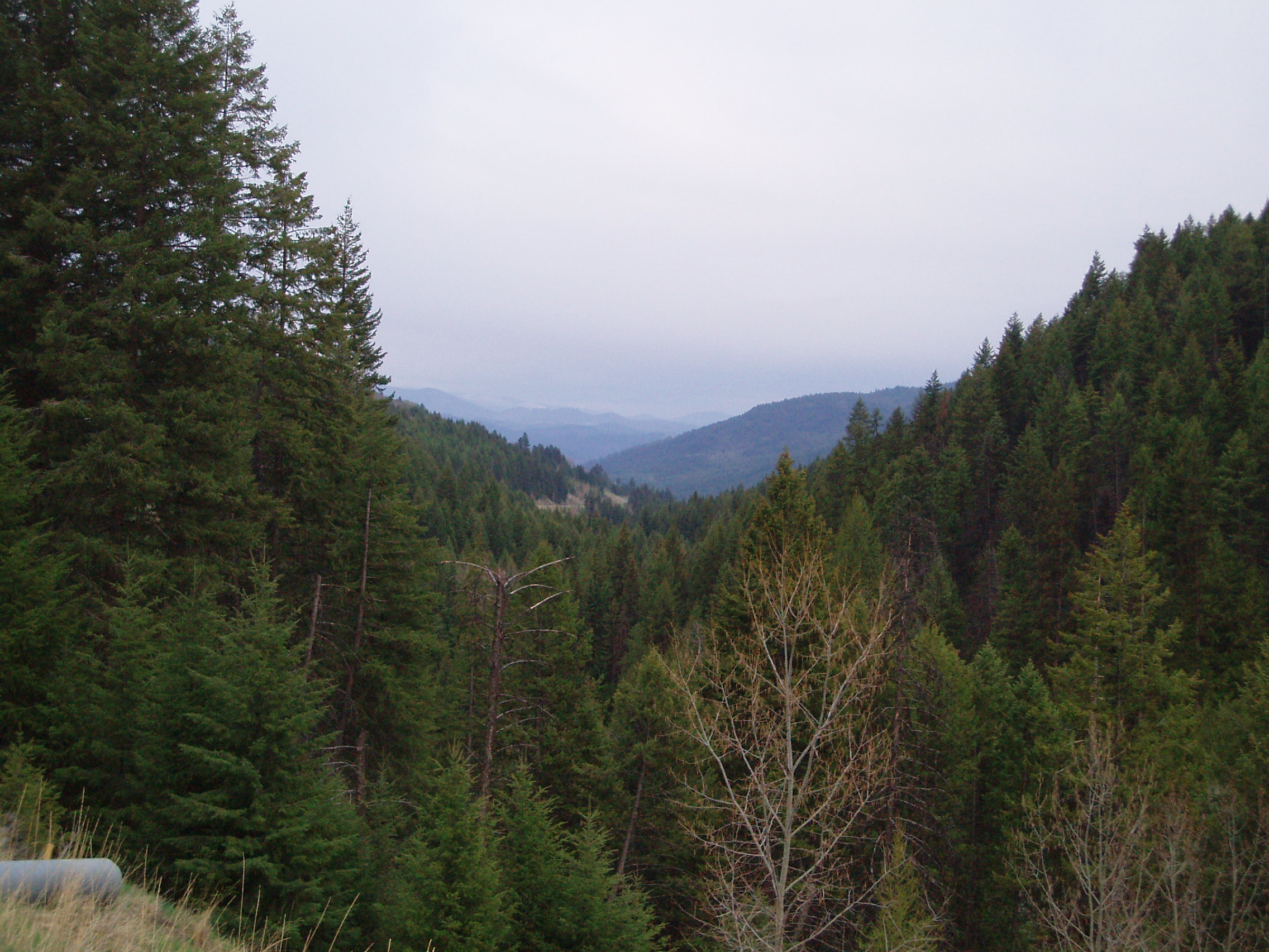
It was a rainy morning, so I slept in until 8am, and was subsequently able to get up and dressed, break camp and have breakfast quickly enough to be back on the road by 9:40. After a very short bit of descent, the climb continued, and I got another nice picture of the view
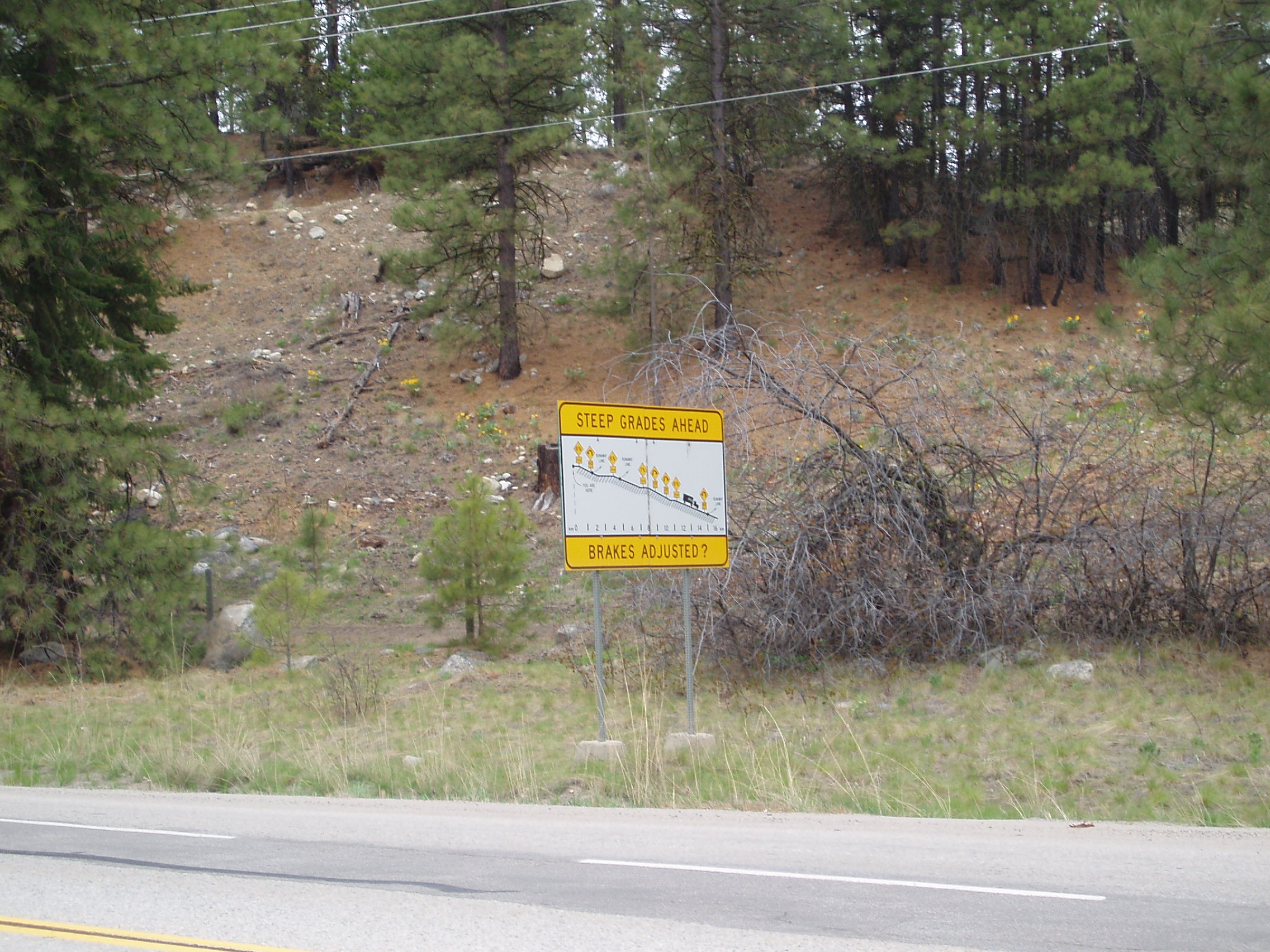
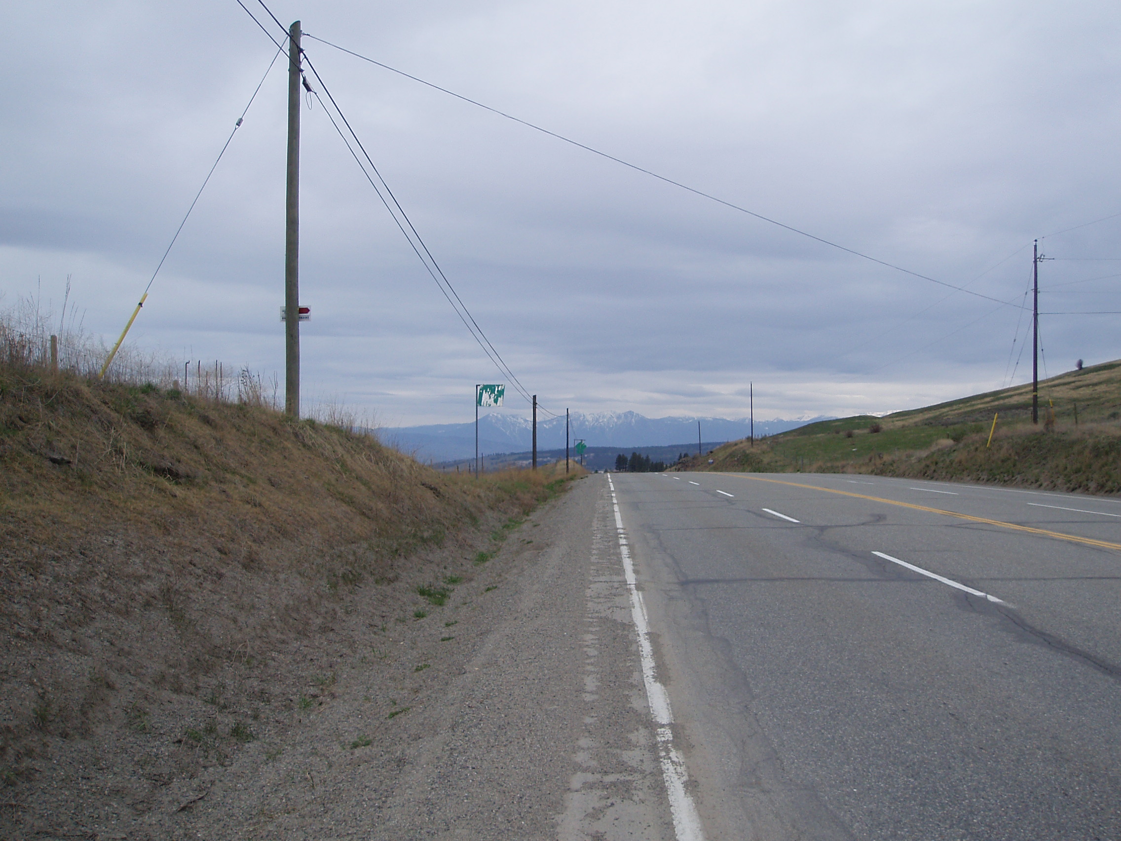
and then climbed a bit more, and checked out just how the motorists were being warned about going down the road I had recently gone up
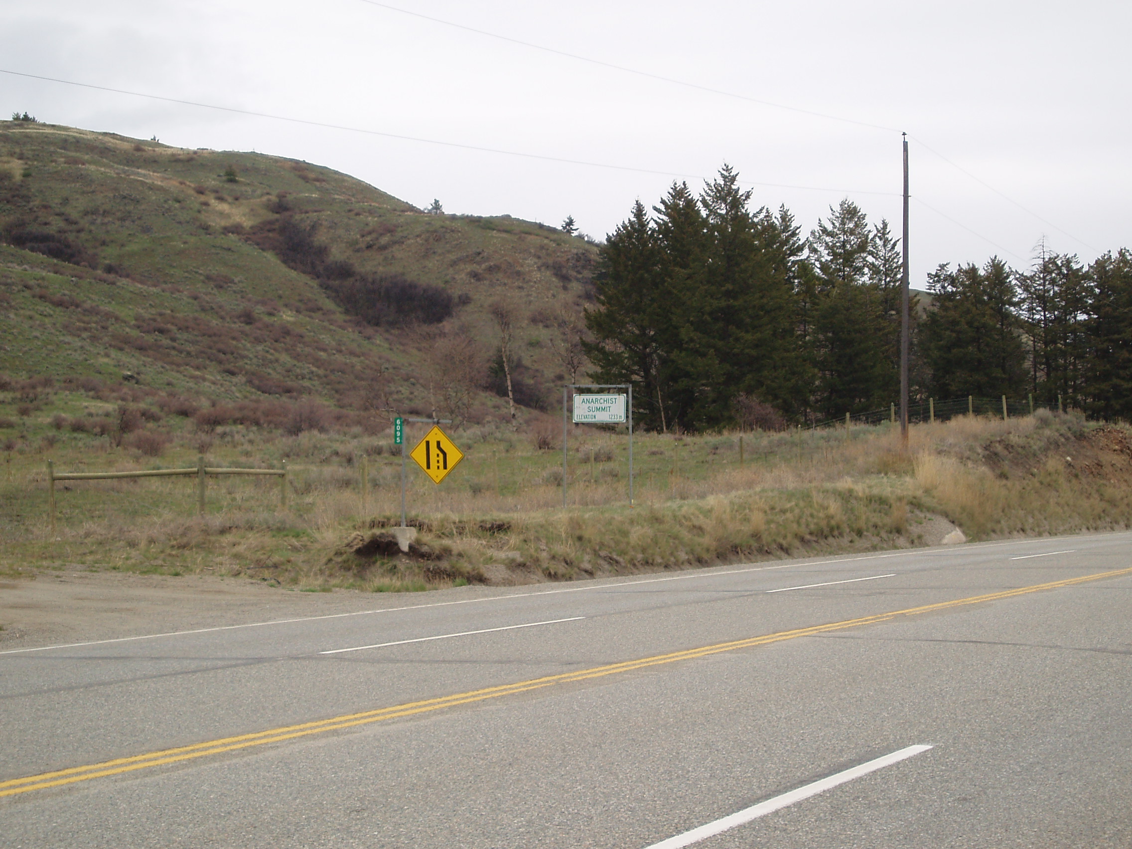
Finally, about 12km into the day, I reached Anarchist Summit:
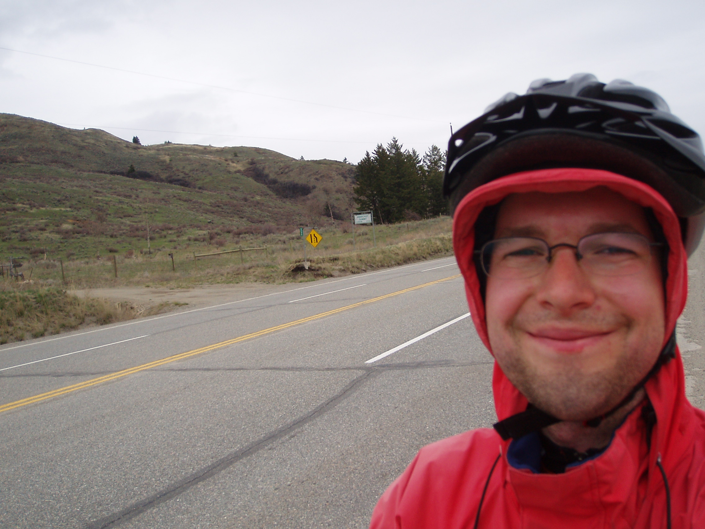
and per a request from Tracey, took a picture of myself at Anarchist Summit (after all, what other geographical placename, when fed into google, produces an assortment of links to smashing the G8?)
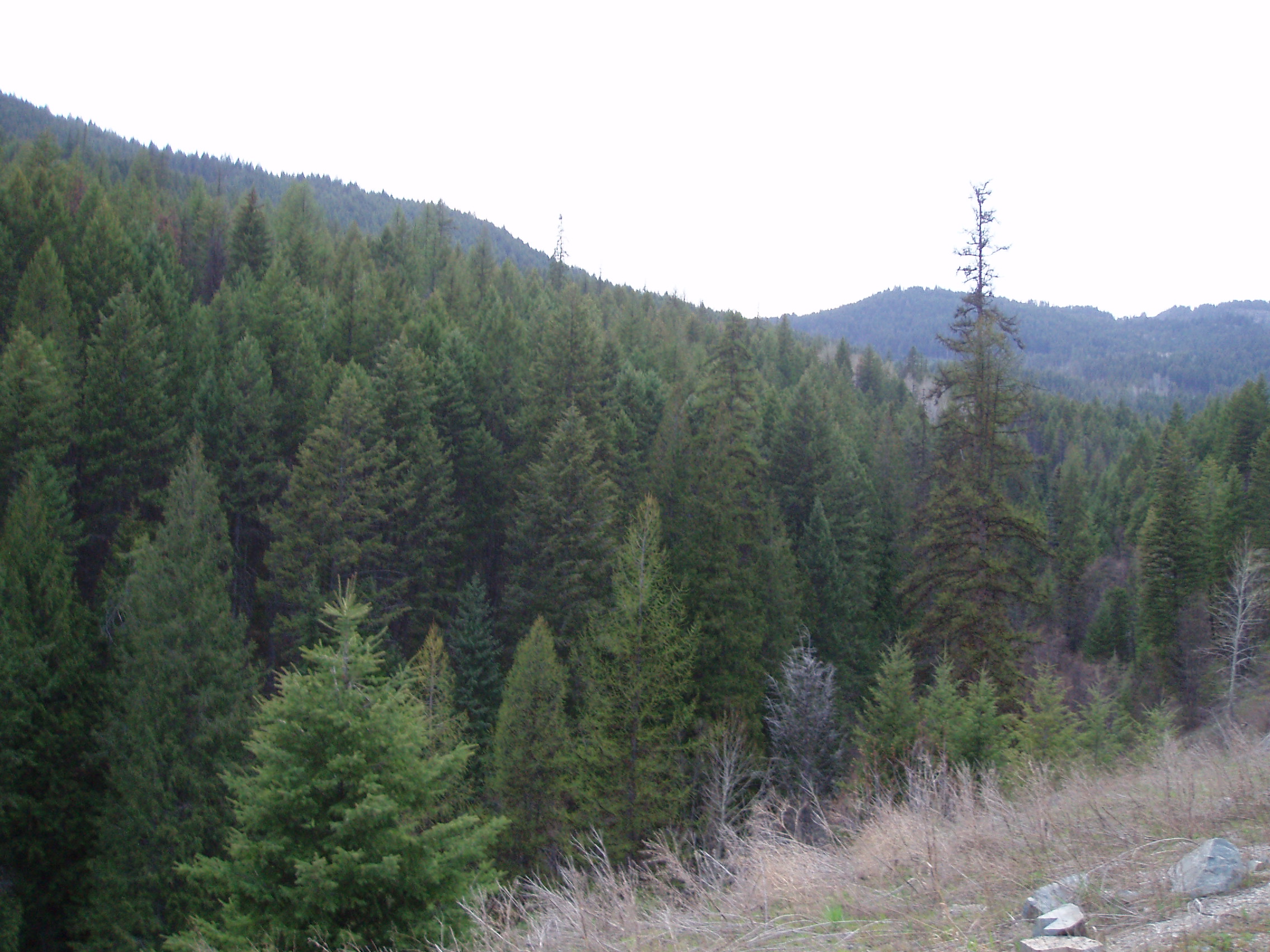
and again, the nice view back down the road
After a little bit more coasting through semi-arid ranchland, Rock Creek Canyon came as something of a surprise all lines with lush vegetation. I went to take a picture from the bridge crossing it, but when a truck crossed in the other direction, the bridge took long enough to stop wobbling (yes it is a solid bridge made of reinforced concrete) that I just wanted to get off it as quickly as possible. Consequently, I have this considerably less spectacular shot of the canyon from a few km along
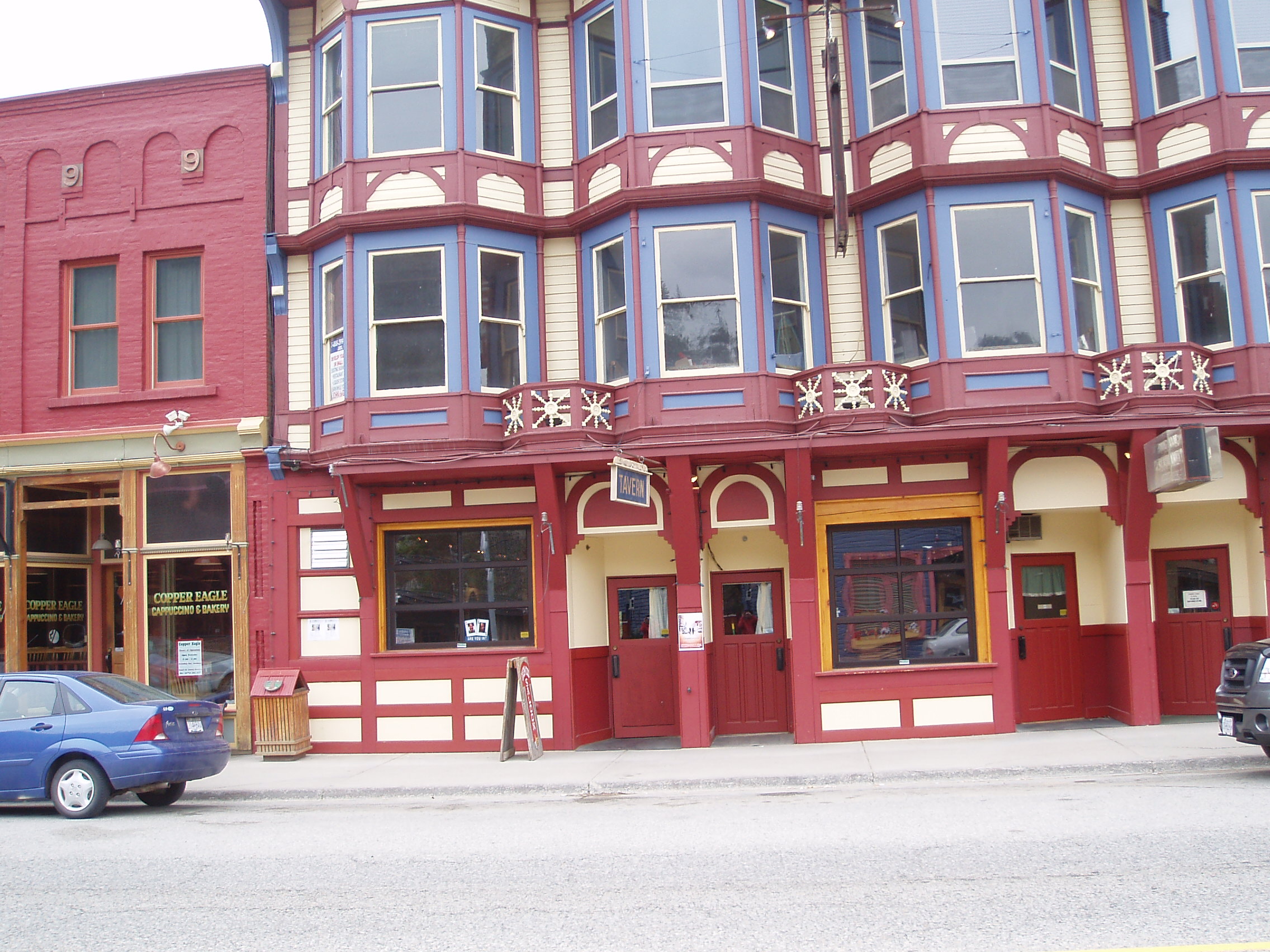
I then descended into the Canyon and into the Village of Rock Creek, which struck me as a really nice friendly place (though the fact that it consists almost entirely of a gas station/general store, a gift shop/cafe, and another gift shop prevent my recommending it as a tourist destination), and followed the creek along towards Midway. Note that entering Midway I decided to finally photograph a sign that I’d seen outside of just about every human settlement larger than a single intersection (actually, I’m not sure that it has to even be that large):
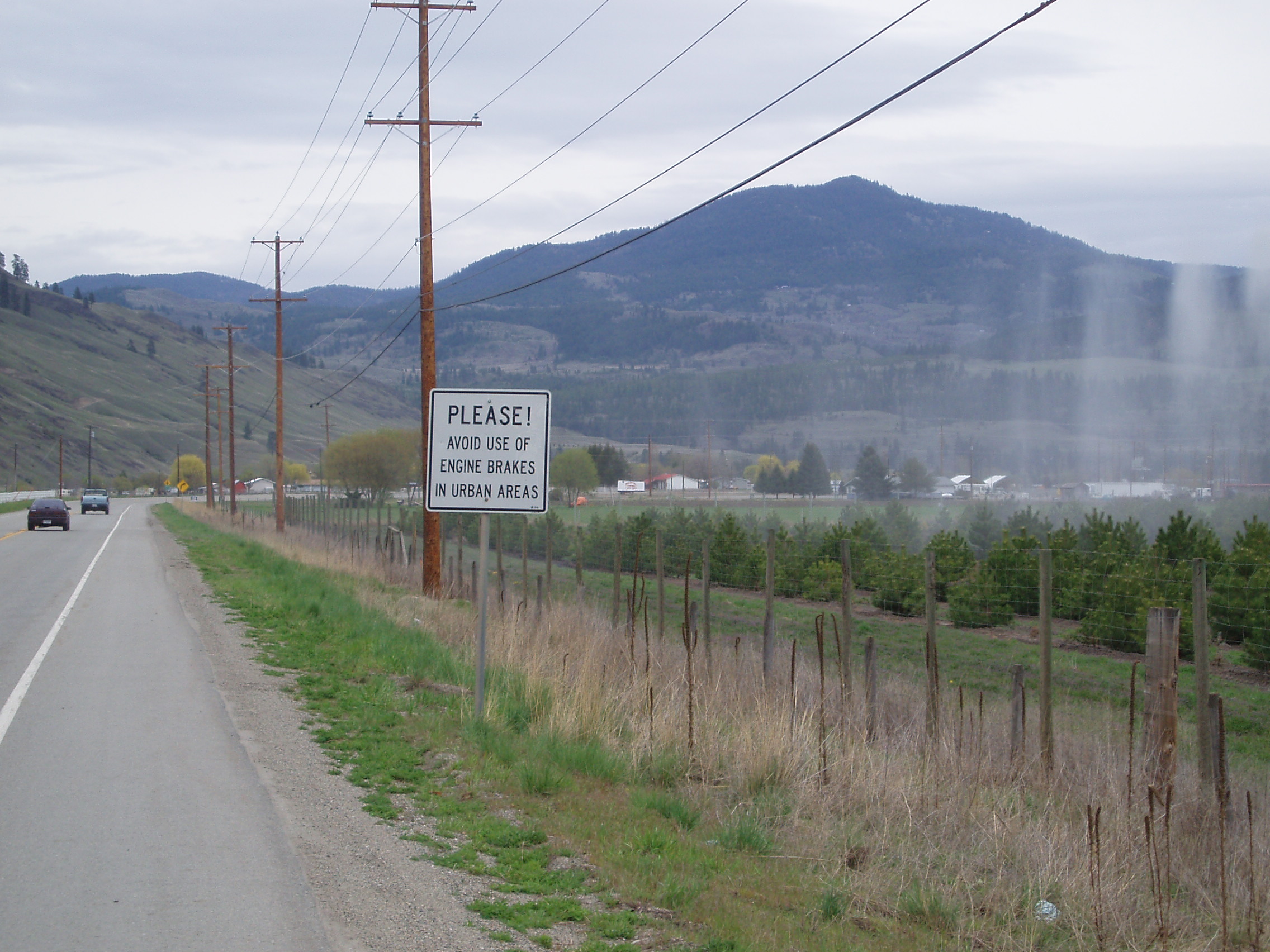
Apparently someone has a slightly different definition of “Urban” than I do (or perhaps just a different idea what constitutes a “City”).
At some point around here, the cleat on my right shoe lost a screw, and my right foot became stuck to the pedal (since turning my foot to disengage the cleat from the binding just turned the cleat on the shoe, rather then turning it in the binding).
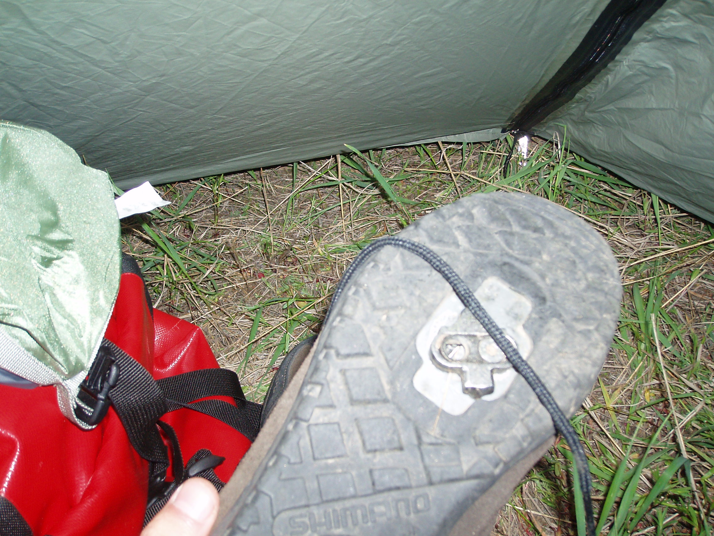
I continued on, locked-in until Greenwood, where I took the shoe off, twisted it farther than my ankle would ever allow in order to get the shoe off, and resumed riding on the platform side of the pedal instead of the clipless side (and now I feel smug about my decision earlier to shell out for pedals that were clipless on one side, and platform on the other exactly because I figured that a failure on the clipless side might render plain-shoe pedalling necessary at some point in a ride of this length). Also in Greenwood, I stopped at the local pub and had some fish and chips for dinner so that I could charge my cellphone while eating (I had left it on overnight, and the battery had died early in the morning).
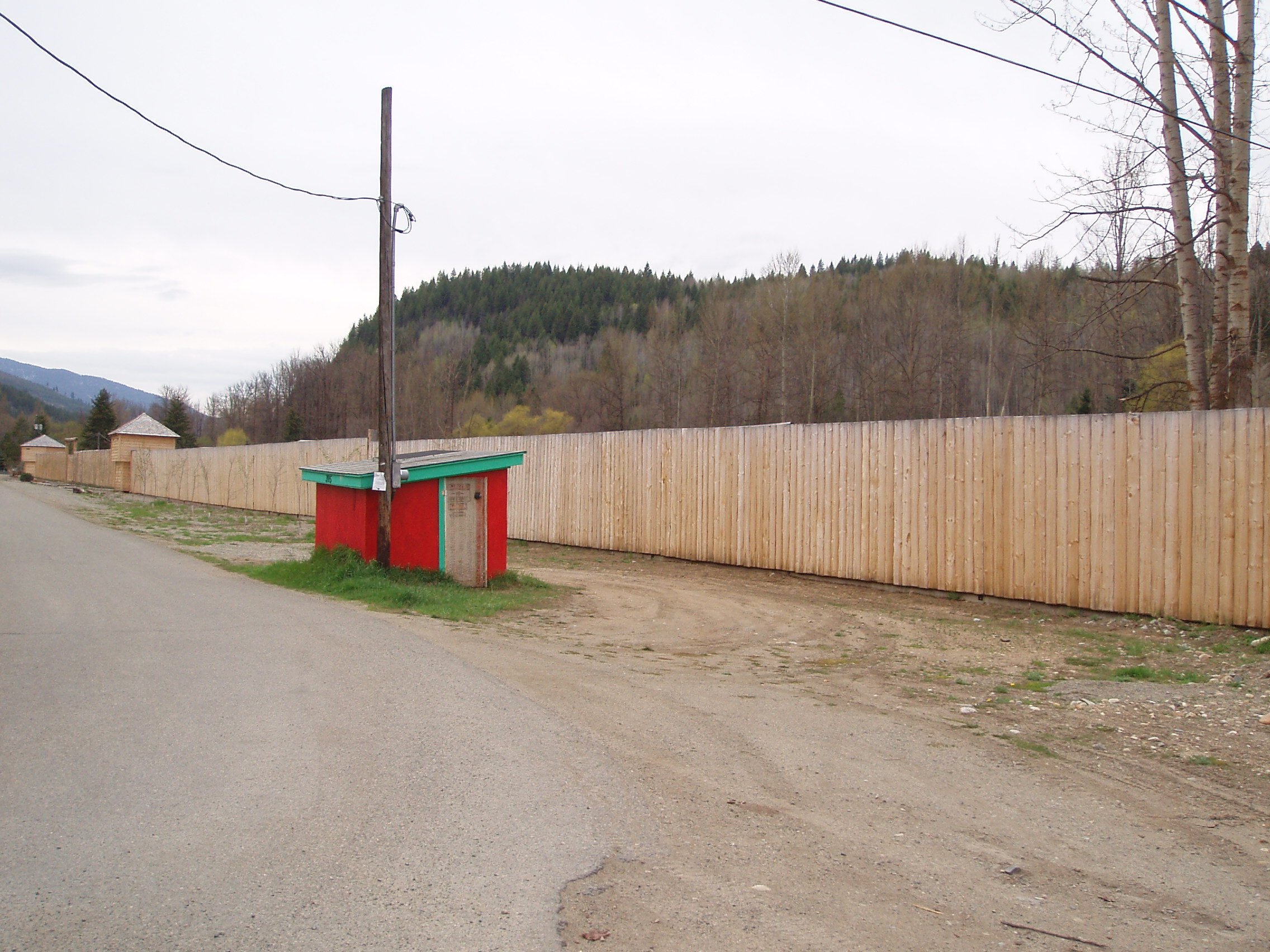
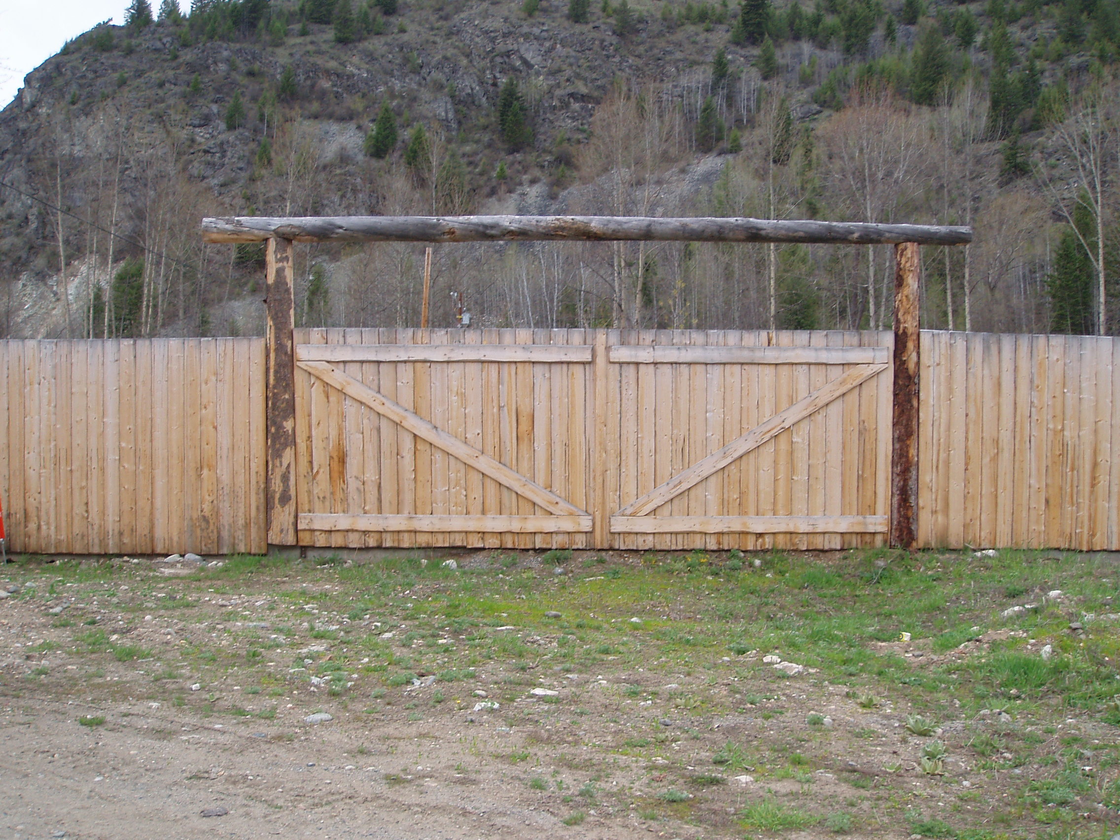
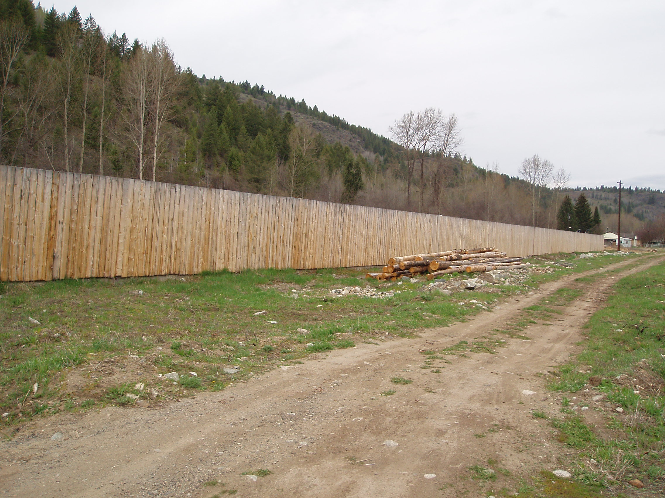
It’s a scenic town, largely restored in the Old West style it seems to have been built in, but there was another bit of the scenery that caught my attention. See, in the early 1940s, Greenwood had the dubious distinction of having the single largest population of Japanese-Canadians in the entire country. That this distinction is dubious arises from the fact that the portion of Japanese-Canadians so represented in the city was actually somewhere in the range of all of them (that were officially accounted for):
While staring along what was basically Canada’s concentration camp, I thought of Tracey off on the Caravan Against Canadian Involvement in Torture, and an earlier such protest for the release of the Security Certificate Detainees, held for the War on Terror and thought that, while the numbers are smaller this time around, we really don’t seem to learn much in the space of 6-7 decades.
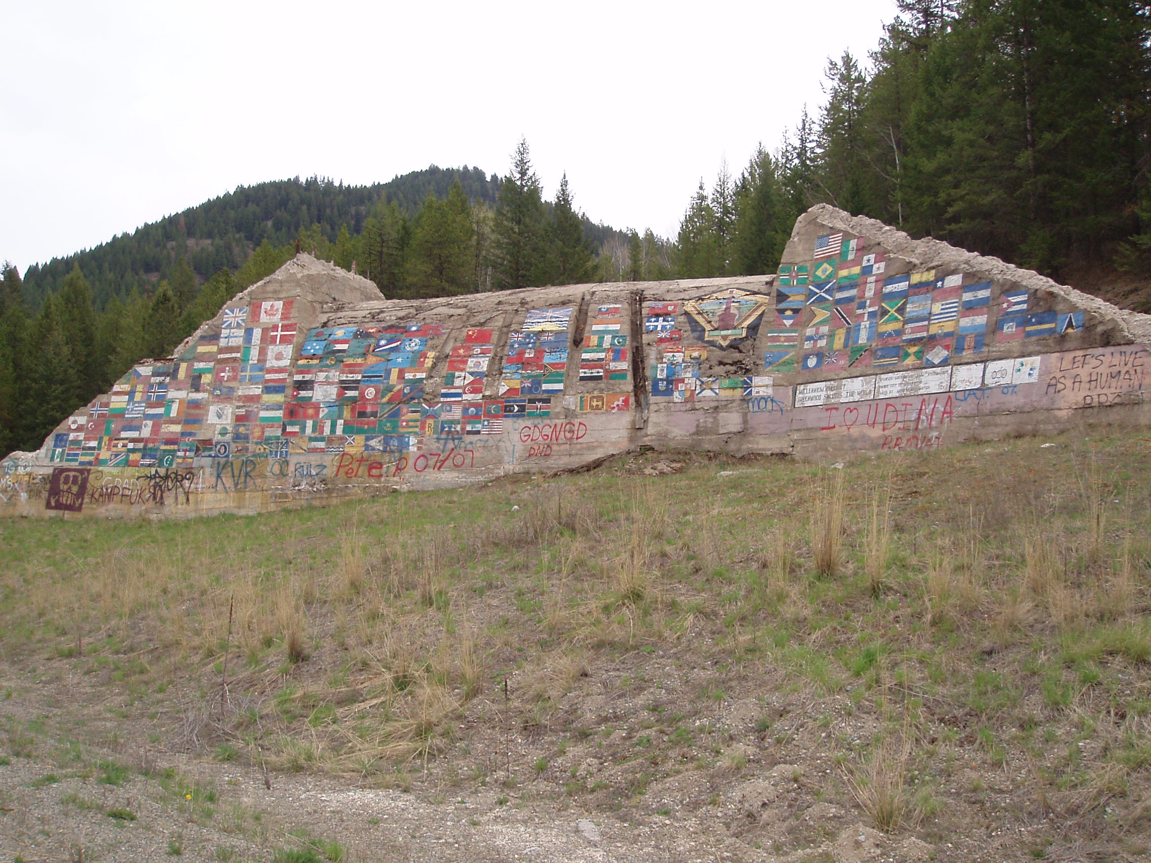
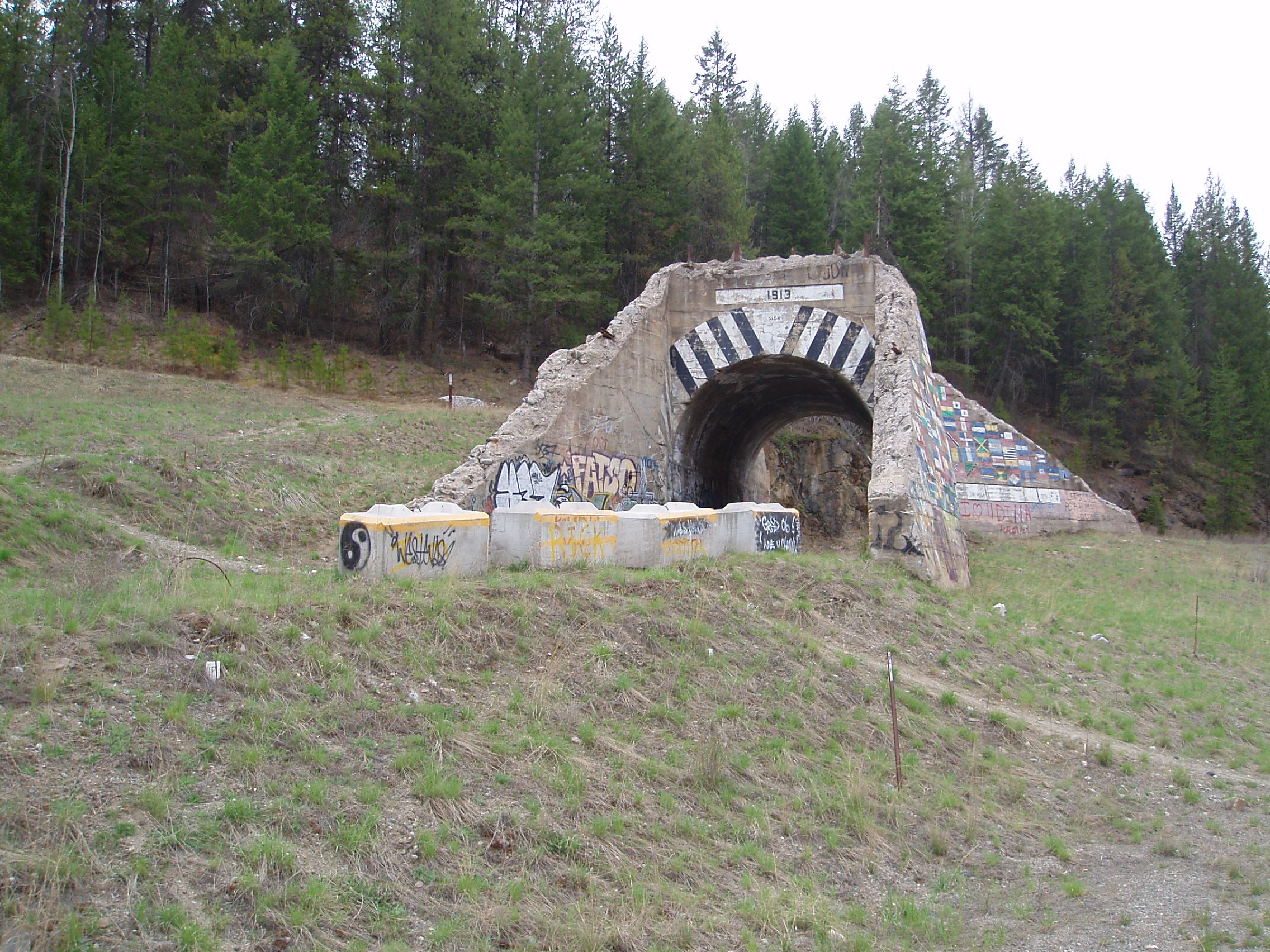
Alas, the ride continued and I saw an interesting bit of grafitti/mural on the side of some ruined old piece of infrsatructure:
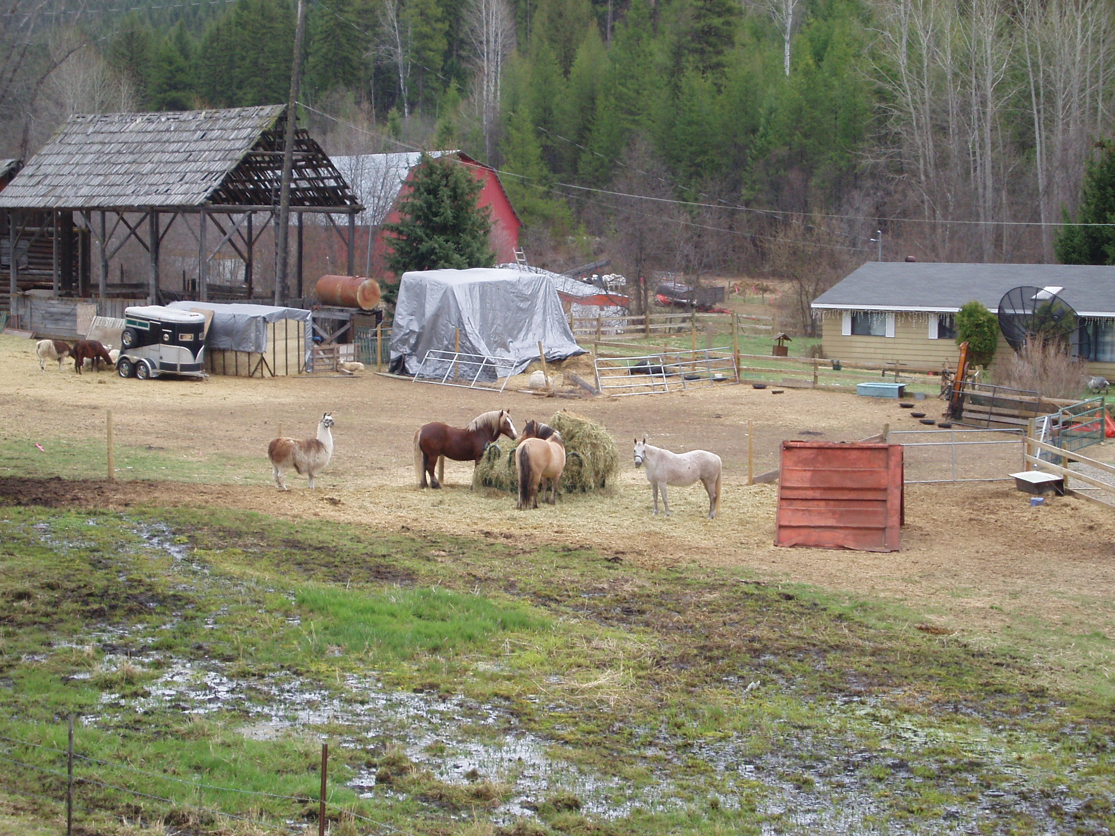
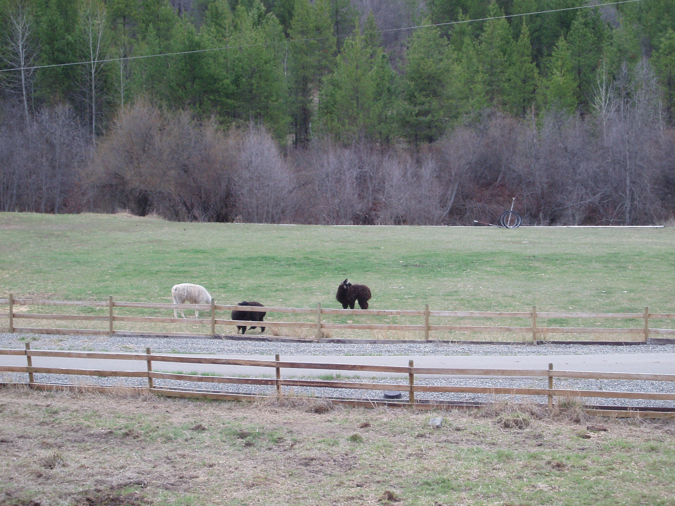
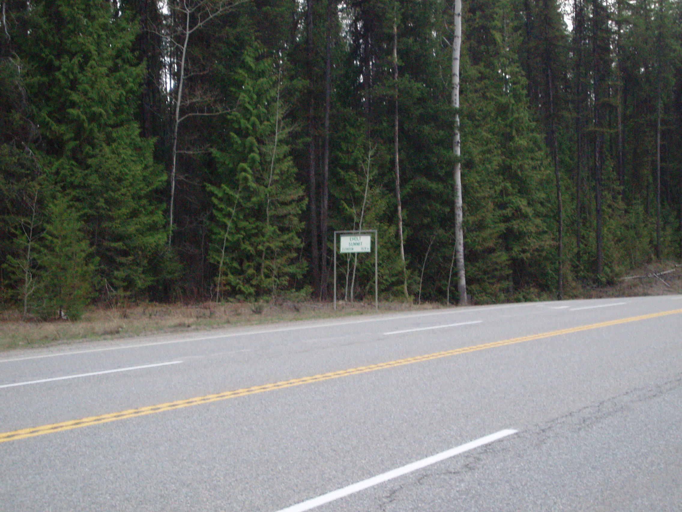
and not having a cell signal with which to use my now-somewhat-charged phone, I rode on, well past my usual stopping time of 6pm, looking to make the next rest stop (near Eholt Summit) which I had hoped would have a payphone that I could use to call home instead. Along the way, I passed what looked to be a llama farm
Getting to the rest stop, I had no luck and while contamplating setting up camp (in spite of the signs explicitly prohibiting it, and the sign announcing the existence of video surveillance of the site, right next to a smashed camera mount), some motorists came through, and one of the insisted that I continue on to proper shelter, since the summit was right there, and it was all downhill to Grand Forks.
So I took advantage of the sinks in the rest stop to shave and wash my face, and decided to press on just a little more, so that I could get close enough to Grand Forks to get a cell signal to call home with. Once that was accomplished (about 30km and 2h past where I had planned to stop) I coasted almost right into town looking for a decent place to set up camp, and eventually found a nice chunk of land right next to what looked to be recreational trail.
