July 15: Cap-Saint-Ignace to Cafe au Station (~137km)
After a pretty good night’s rest I got up, had my breakfast, and chatted with another cycle tourist who was stopping in the park for a snack. Having managed to carry on the conversation entirely in French, I felt that my shyness about my relative (in)ability to speak French was really slipping away, and almost regretted that I’d be out of the province in 2 days, so soon after starting to get really comfortable in Quebec.
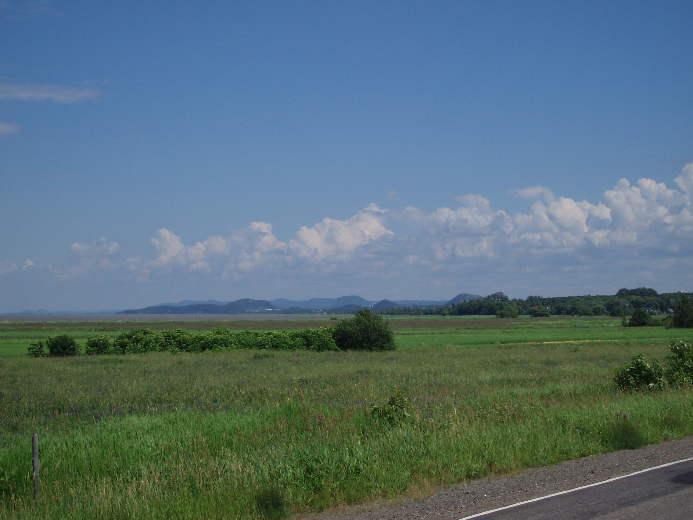
A short way into the day’s ride, I encountered the first portion of La Route Verte that I was to ride upon, and that the guidebook marked as being unpaved. The guidebook was right; instead of pavement, the riding surface was very well maintained (i.e. flat) fine gravel. My speed fell a little when riding along this surface, but not much, and there was no bumpiness to place unwanted stresses on my racks or my body.
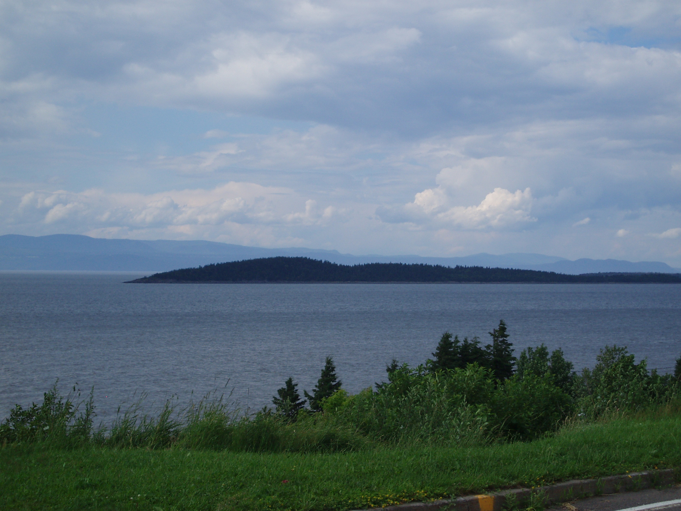
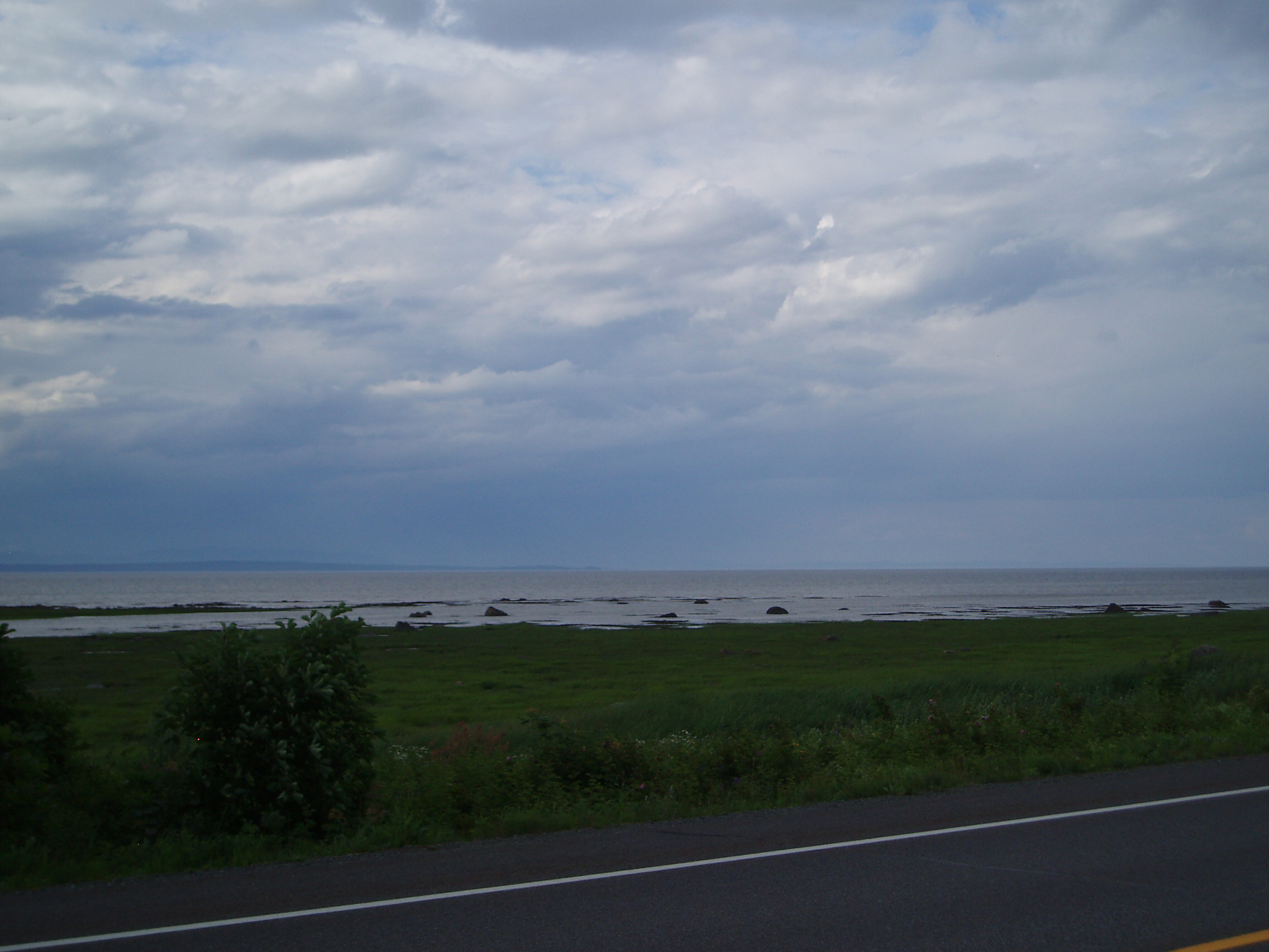
Again, the scenery along the south shore of the river continued to be stunning, and I got a few pictures.
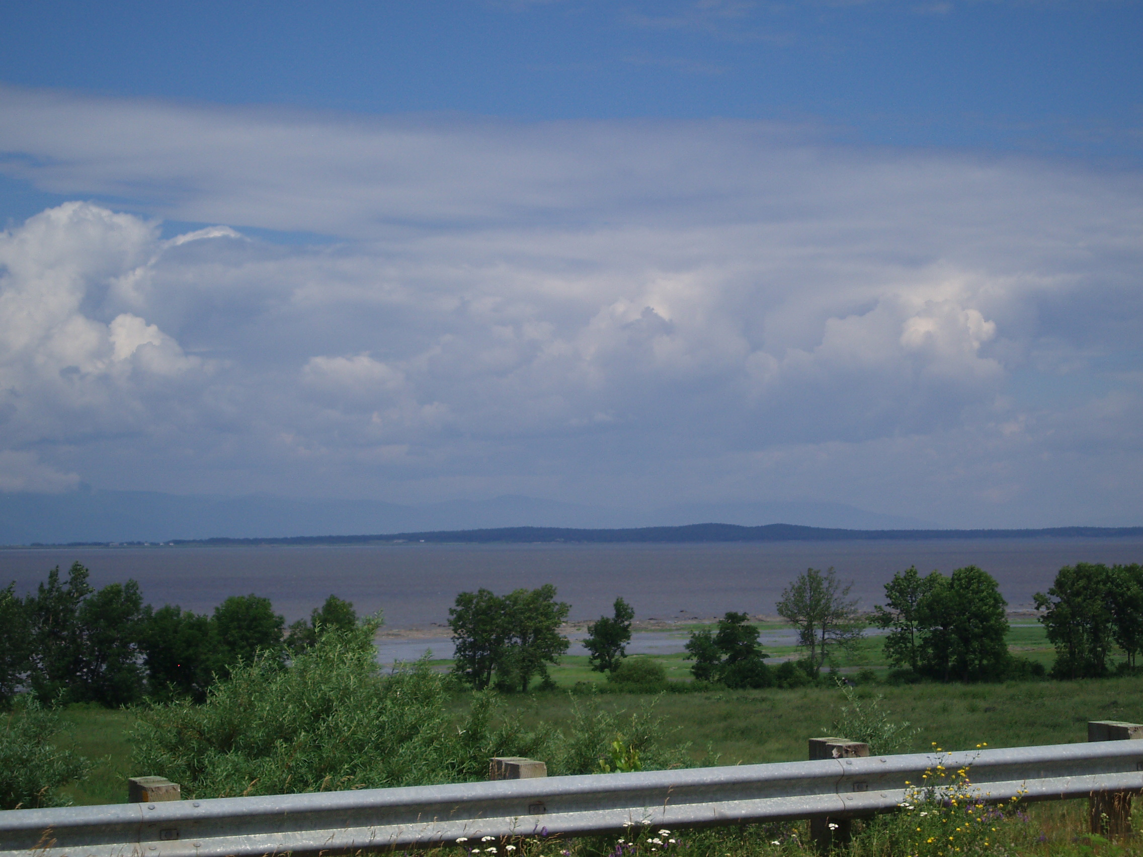
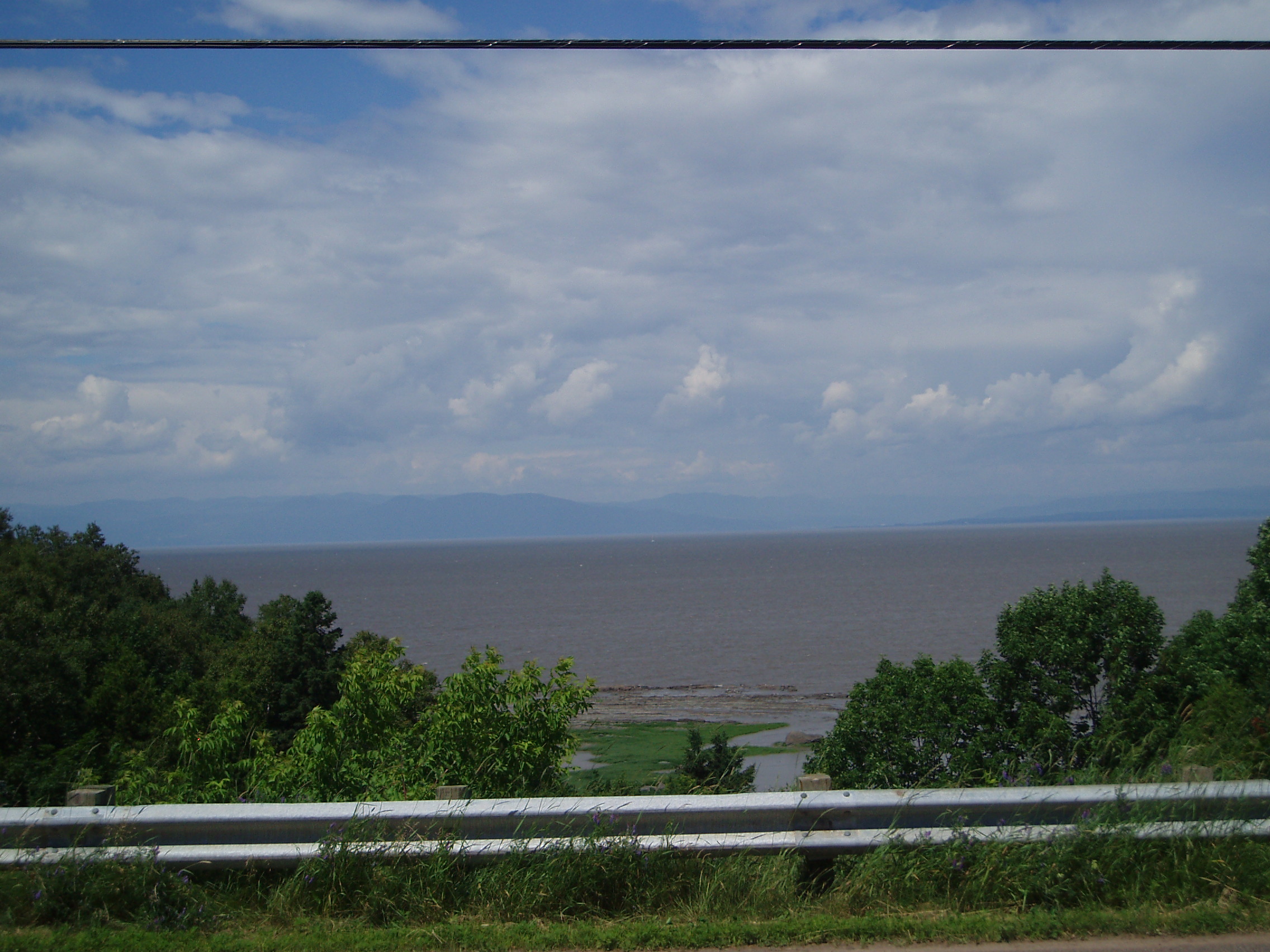
The mountains also began to squeeze their way towards the river, though the road still managed to remain relatively flat (and the wind continued at my back too!). Having squeezed their way towards the river, they also began popping up in the river as islands. There were some surprisingly bare small mountains on land, but once again, I failed to take any pictures of them while waiting for the best view of them to arrive.

Along the way, I found a nice picnic area to have lunch at, though I noticed a sign indicating that use of the picnic table for a few hours cost something like $2. I decided to suck up the cost (the facility seemed to be run by some sort of non-profit geared towards developing recreation facilities).
I also dodged a rather large looking hill approaching Riviere-du-Loup, thanks to having noticed on my map that there appeared to be a minor road offering a detour from the published route, and by noticing at the junction between the two, that the published route went up a road called something aling the lines of “Chemin du Mont” (i.e. Mountain Road), while the other road was named something more akin to “Chemin du Cote” (i.e. Shore Road).
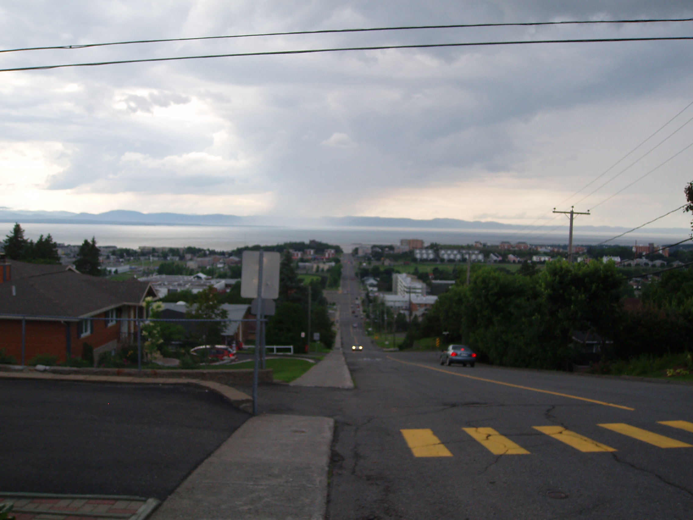
Of course such climbing avoidance could only last so long, as I’d have to turn south into the mountains to start heading to New Brunswick. Sure enough, upon reaching Riviere-du-Loup, I veered off La Route Verte looking for some internet connectivity (not having had any since Berthierville, and having gotten some email then that seemed to warrant some relatively prompt attention — failing to find anything until Edmundston, I was still able to attend to the mail promptly enough). Needless to say, when I reconnected with La Route Verte, I couldn’t map the wayfinding signs back to my recollection of the city plan well enough to follow it up the escarpment in the south of the town. Instead, I gritted my teeth and rode straight up it.
I should note that the guidebook had made a note of the winding path up the escarpment being steep, and here I was grinding straight up the thing with all my load of gear. It. Really. Sucked. Looking back down:
After a little more (unsuccessful) poking around for some sort of internet service, I found my way to the trailhead of Le Petit-Temis, and rode into a rest stop some 20km in where there was a cafe that would open up in the morning, and an outhouse and watering point that I could use in the meantime. I set up camp next to a picnic table and retired for the night.
