May 4: Harrison Hot Springs to Sunshine Valley (~64km)
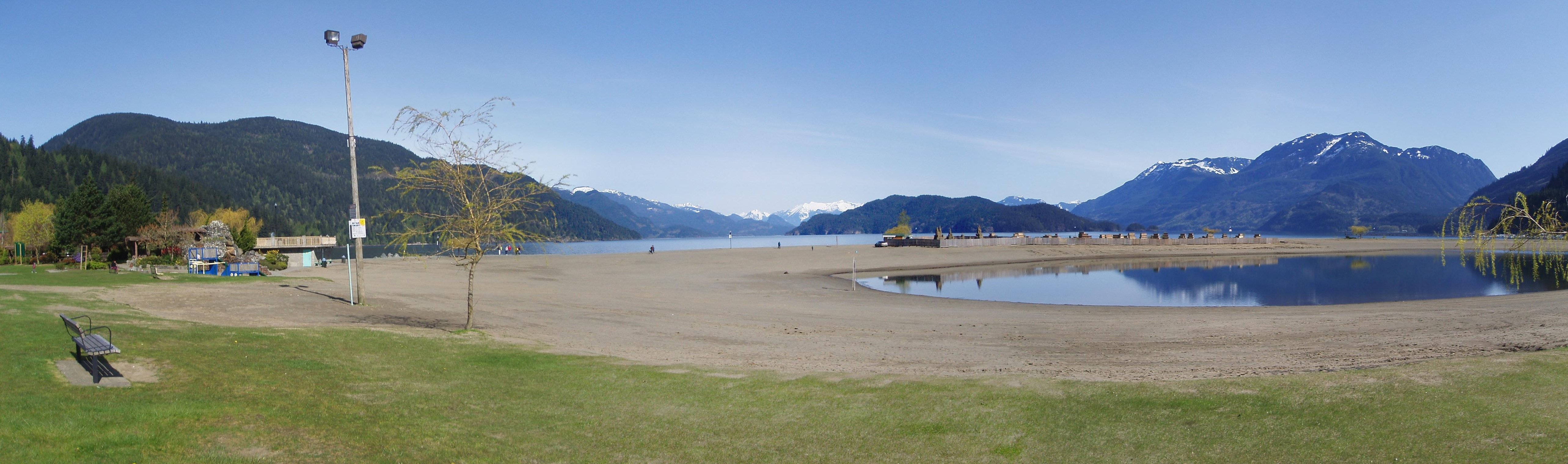
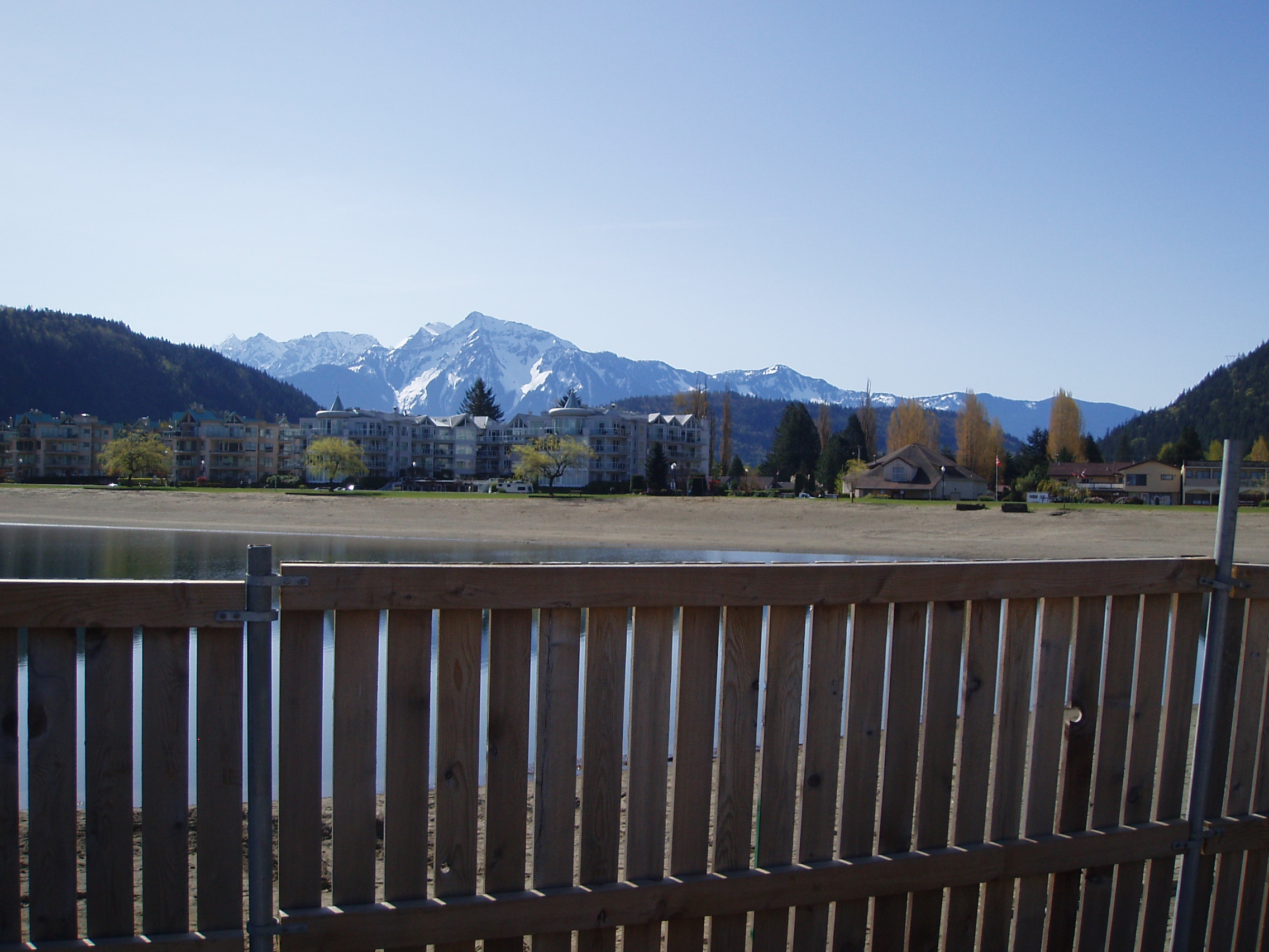
Hung around Harrison Hot Spring in the morning with Graydon and Frances, eating leftover pizza and part of a raisin scone for breakfast. Got out to take a look at the scenery before too many of the people showed up, and the place pretty much looked like this:
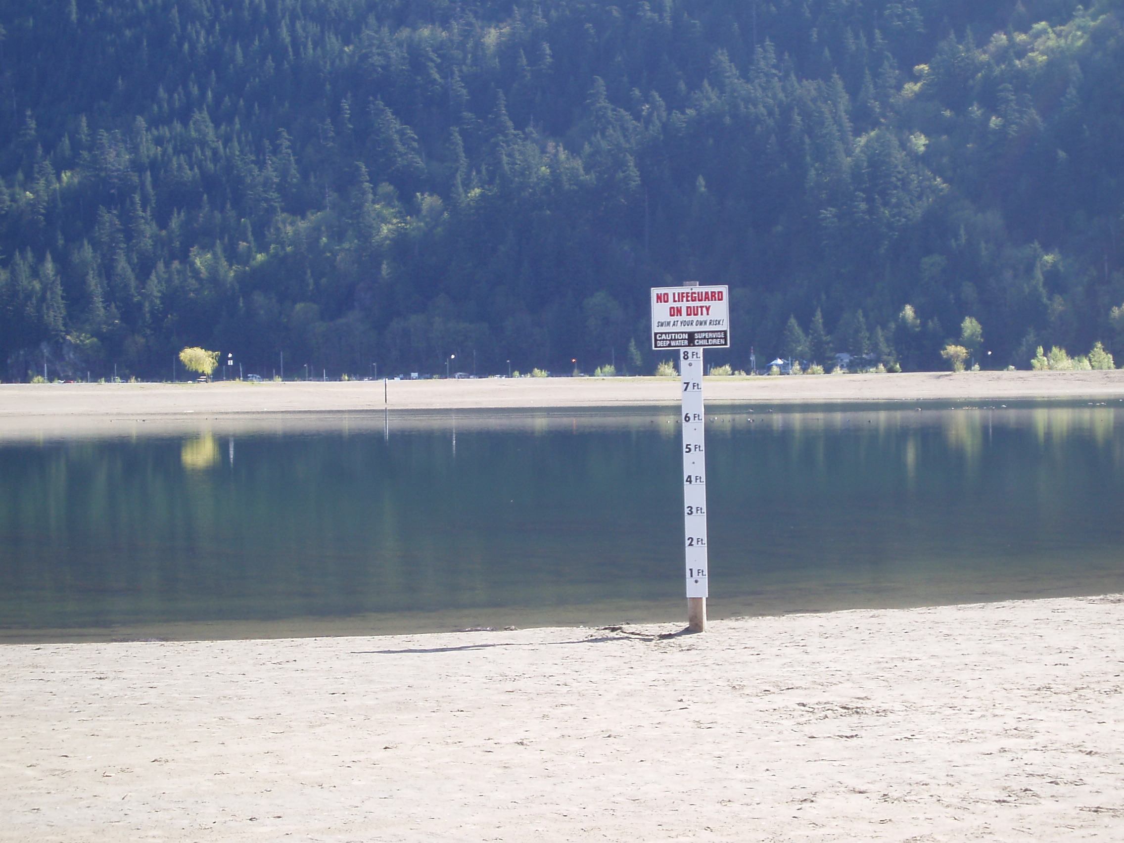
Wandering down towards the beach, I encountered an indication that the water levels were low:
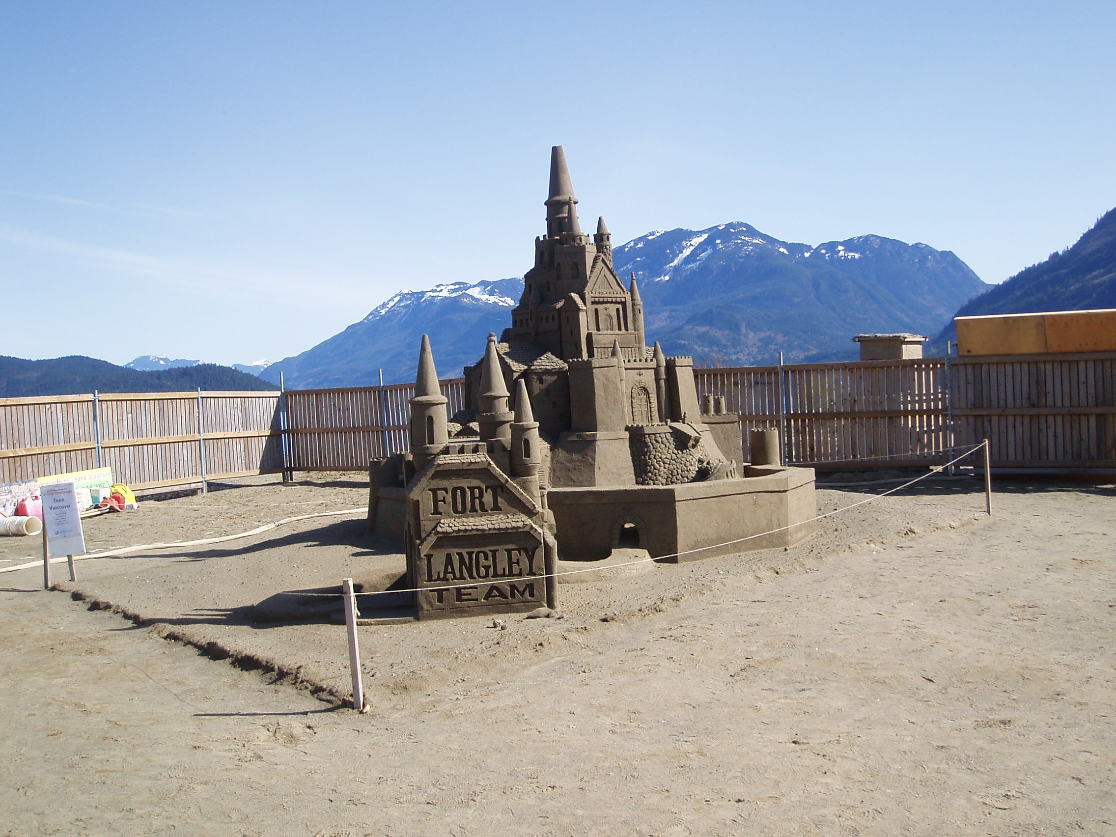
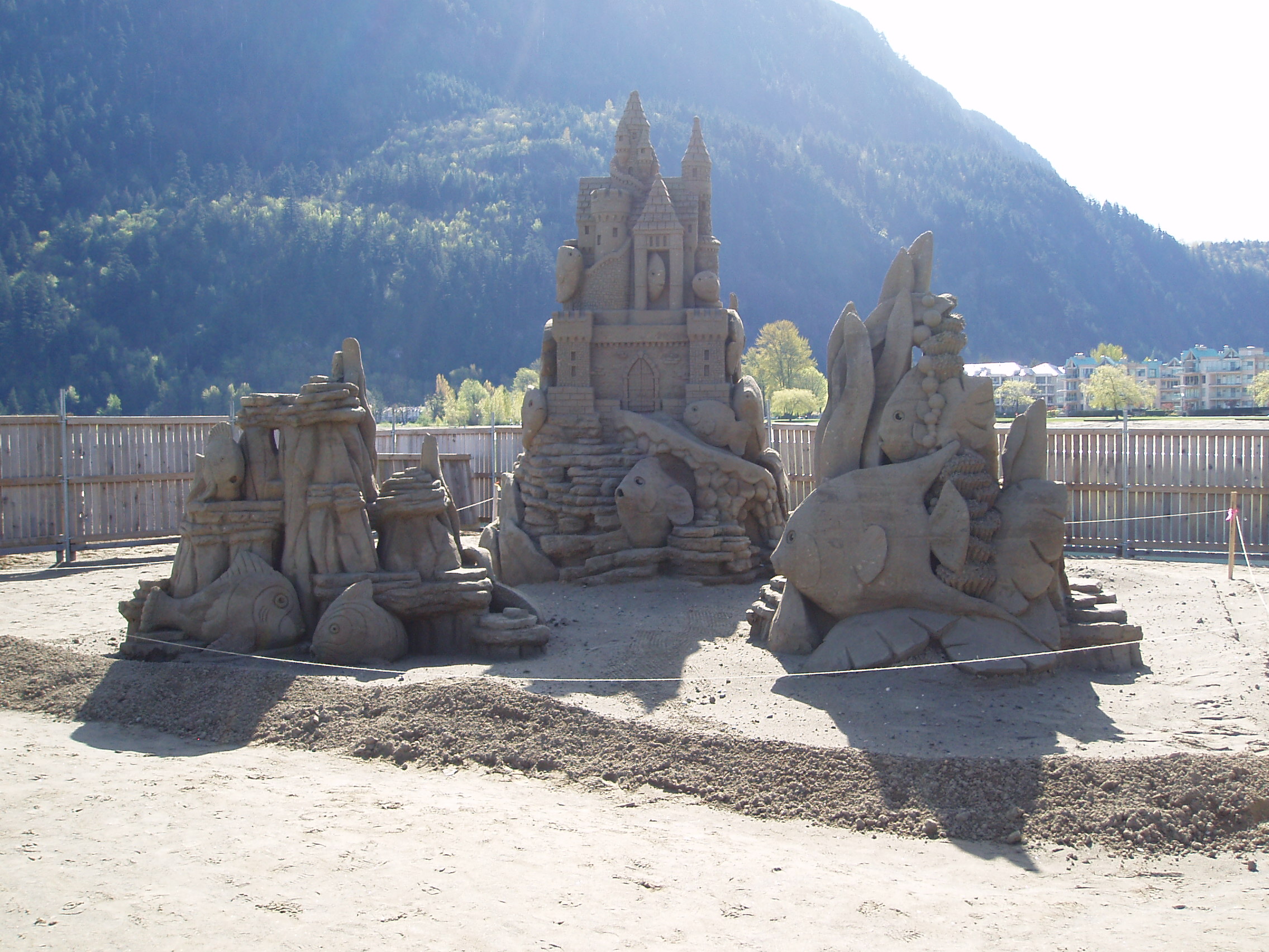
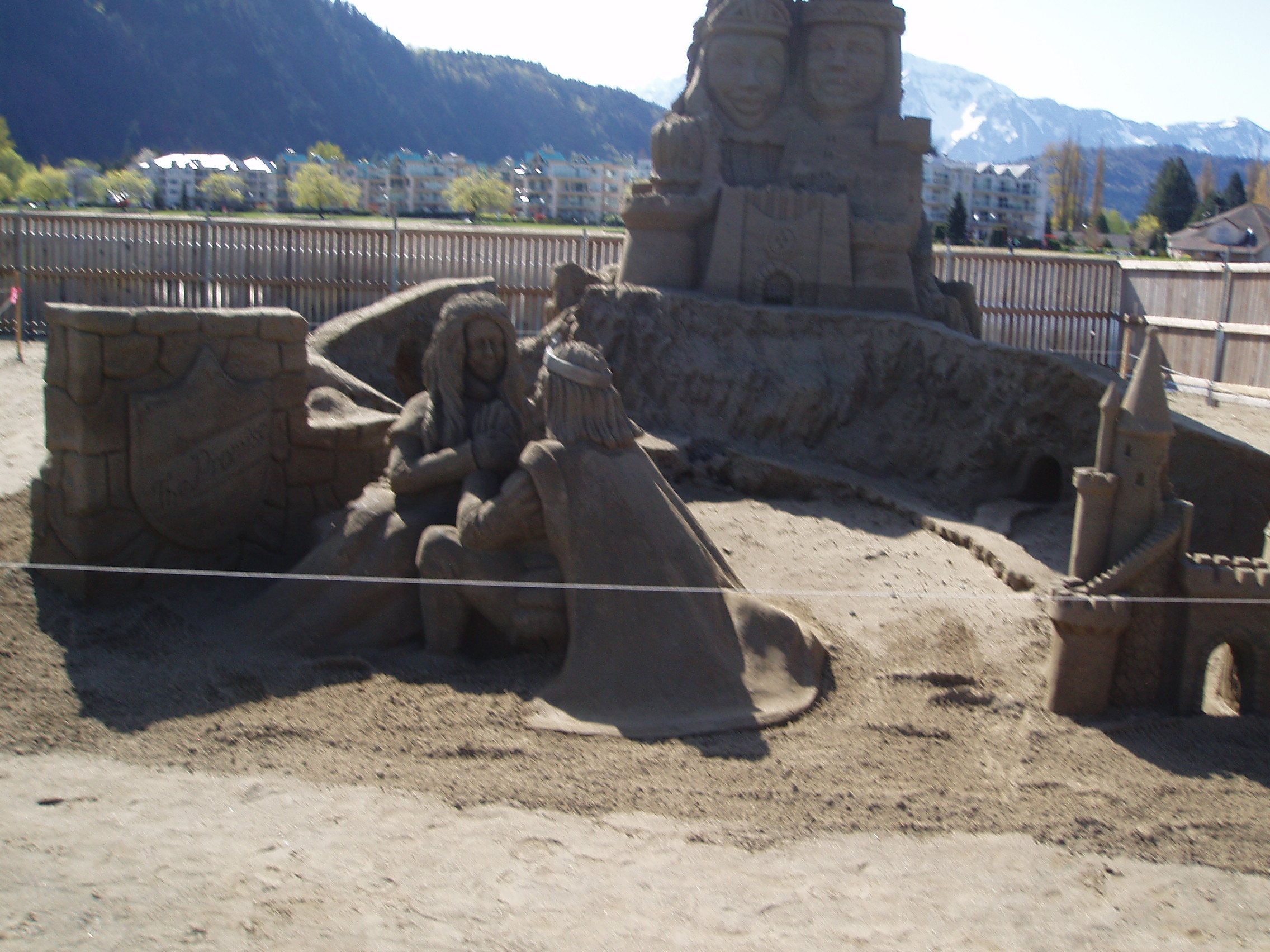
And then dropped into the pavillion set up for a sand sculpture competition
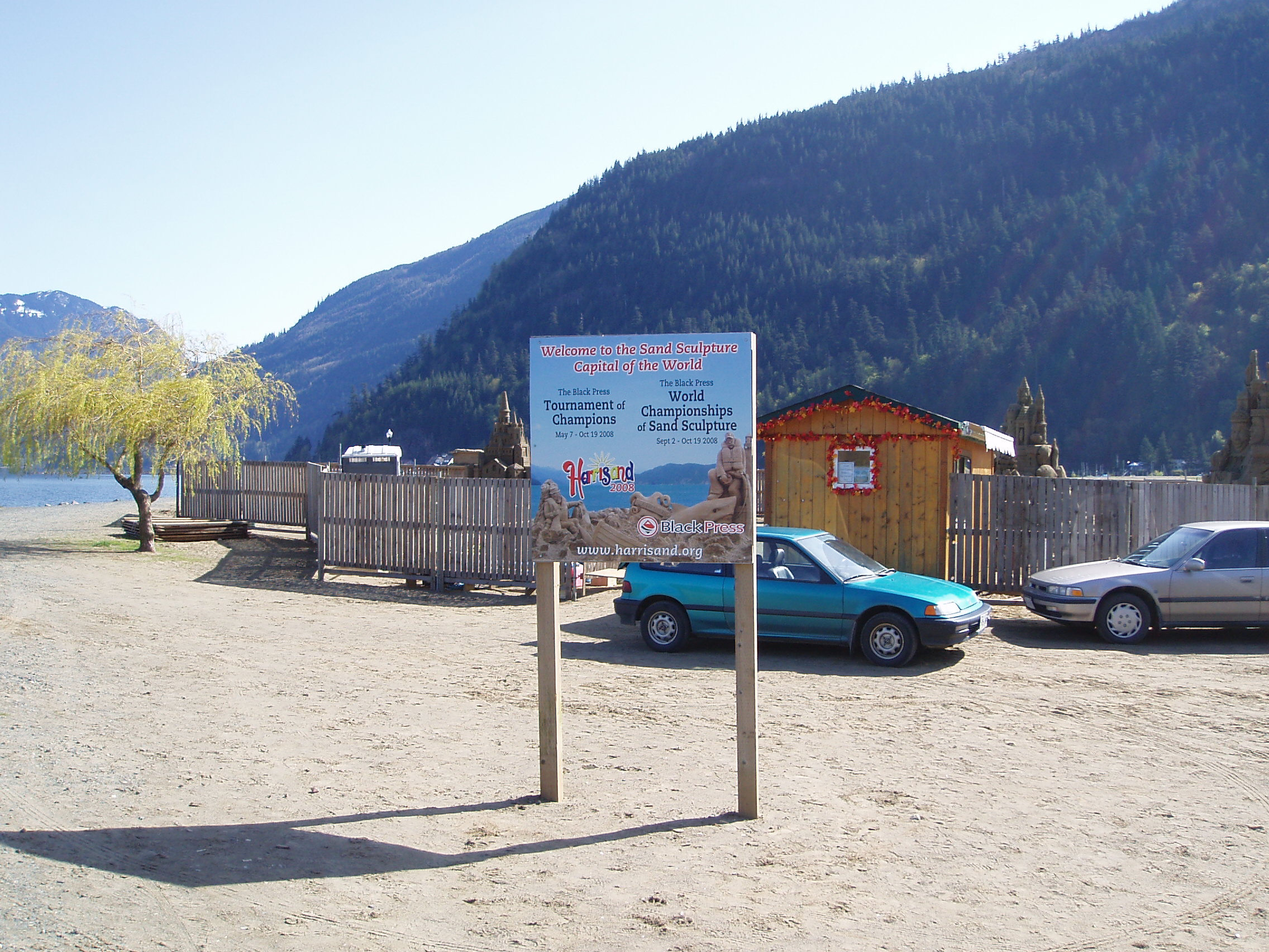
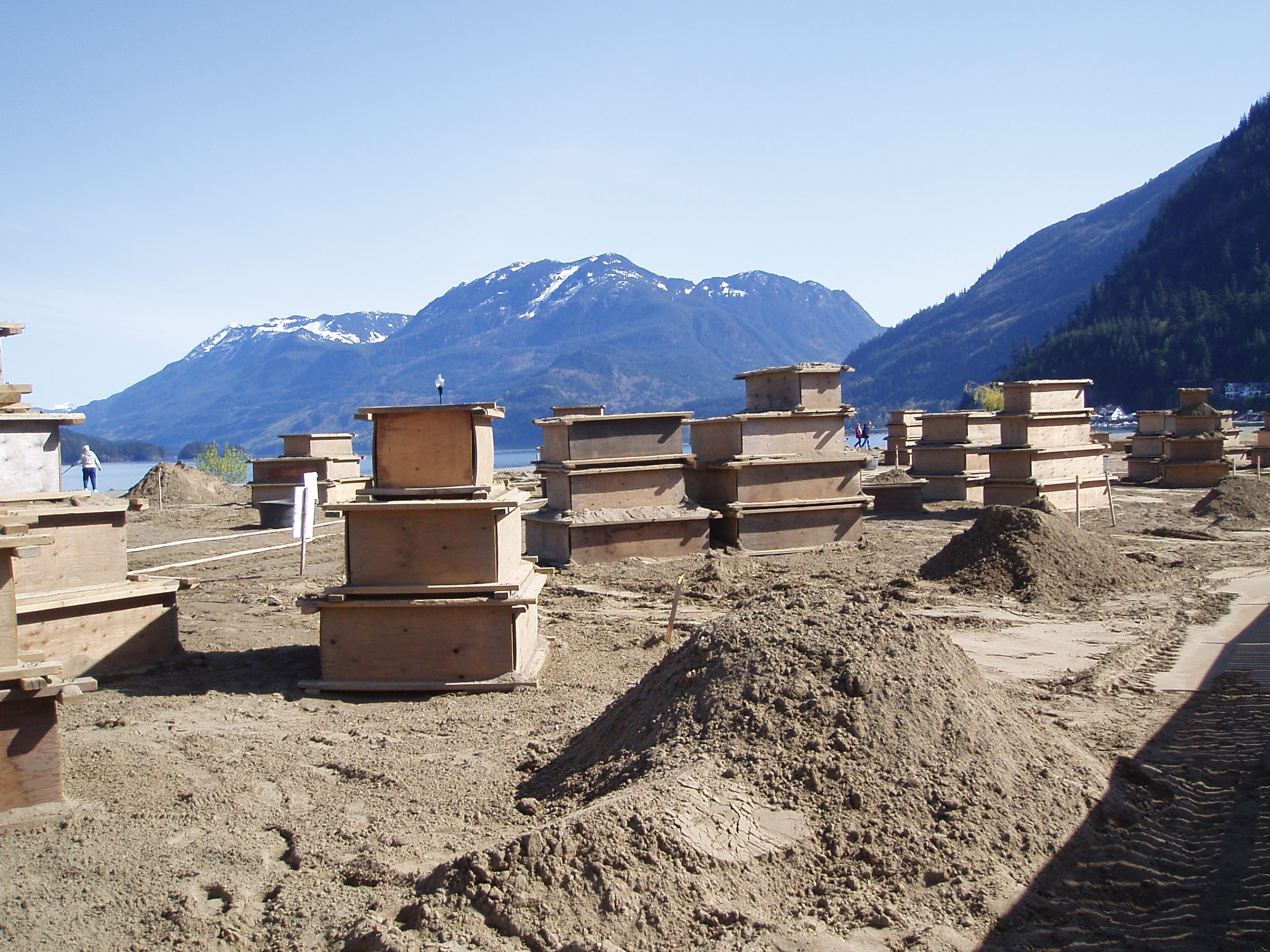
though with the competition still a while off, most of the entries were still crates of settling sand:
I grabbed a few extra provisions at the general store, saddled up, and rode with Graydon and Frances back to Highway 7, where they went West to return home, and I turned East to continue to Halifax. Graydon has some pictures of the departure in his LiveJournal, so go and look there.
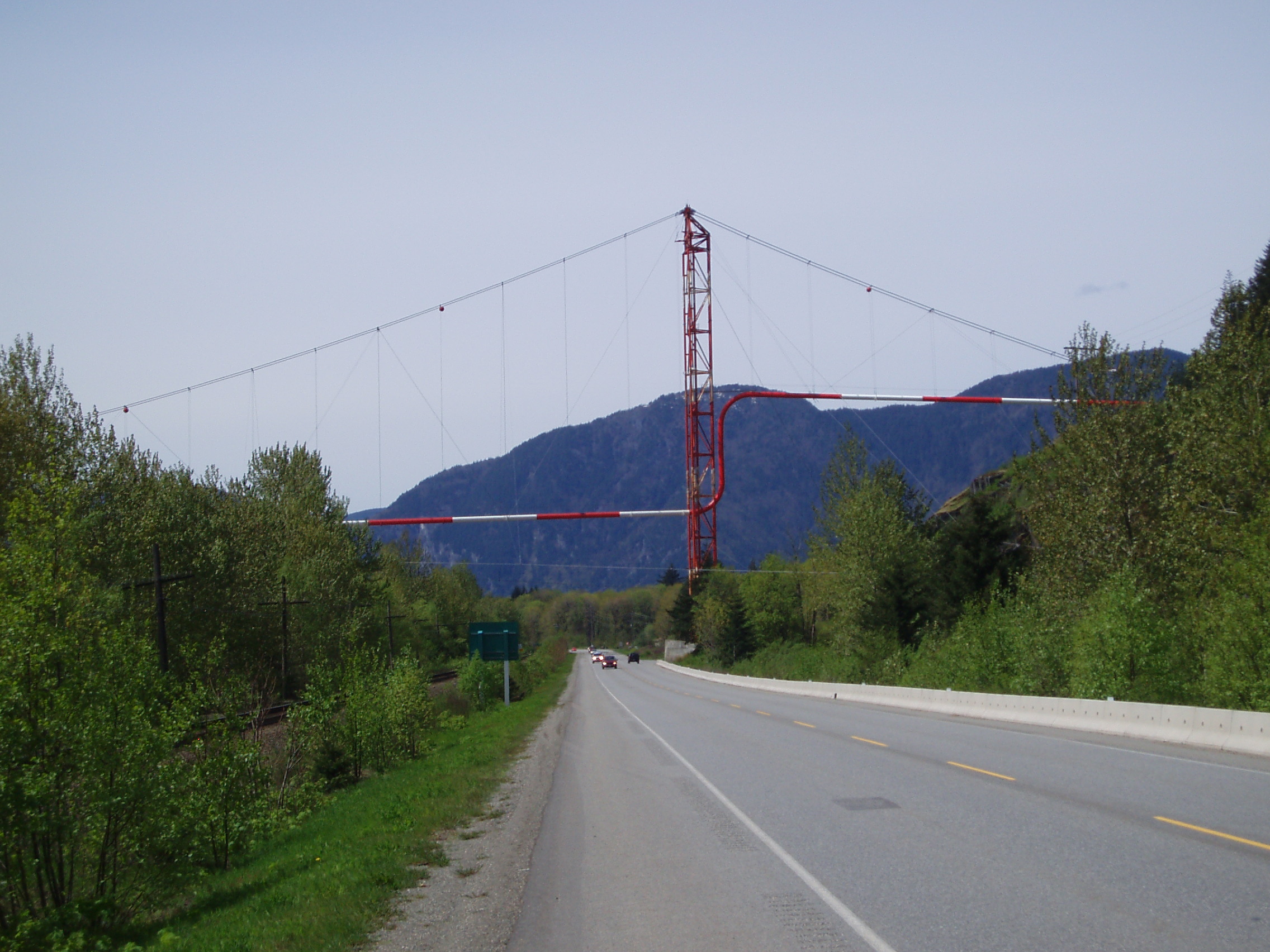
Continuing East, I passed some sort of pipeline as it crossed the Fraser Valley:
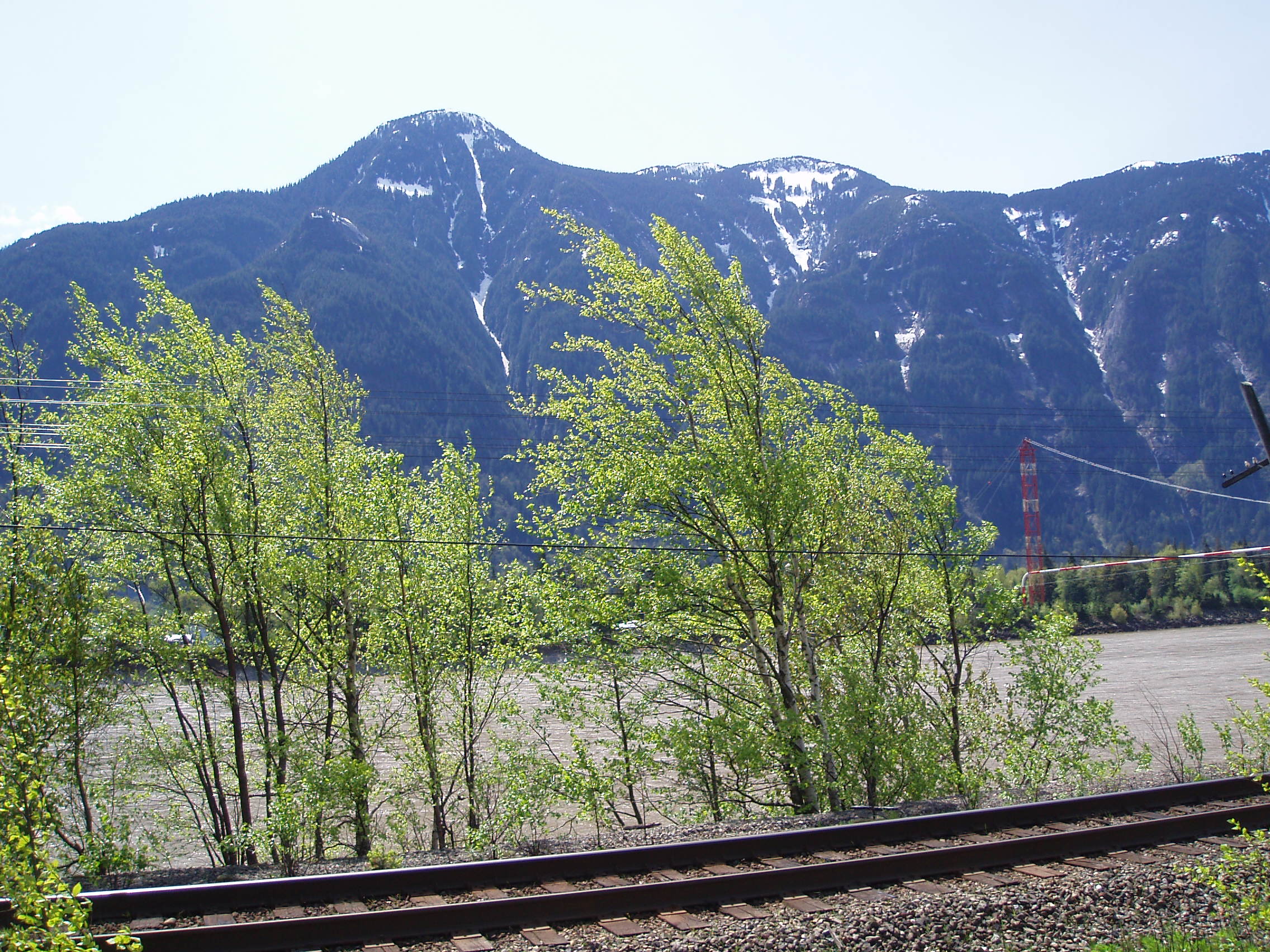
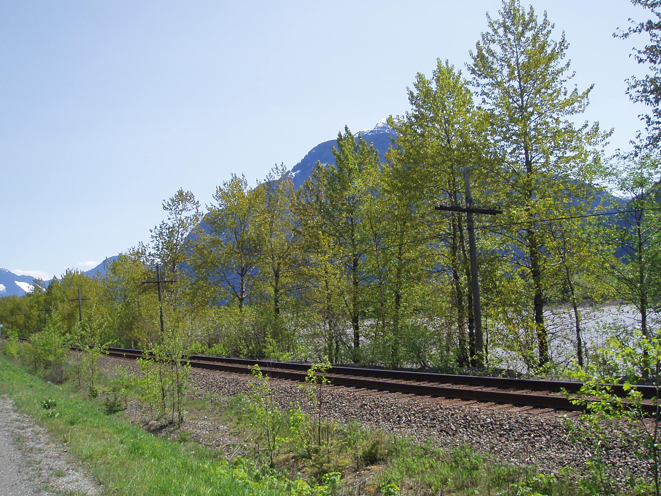
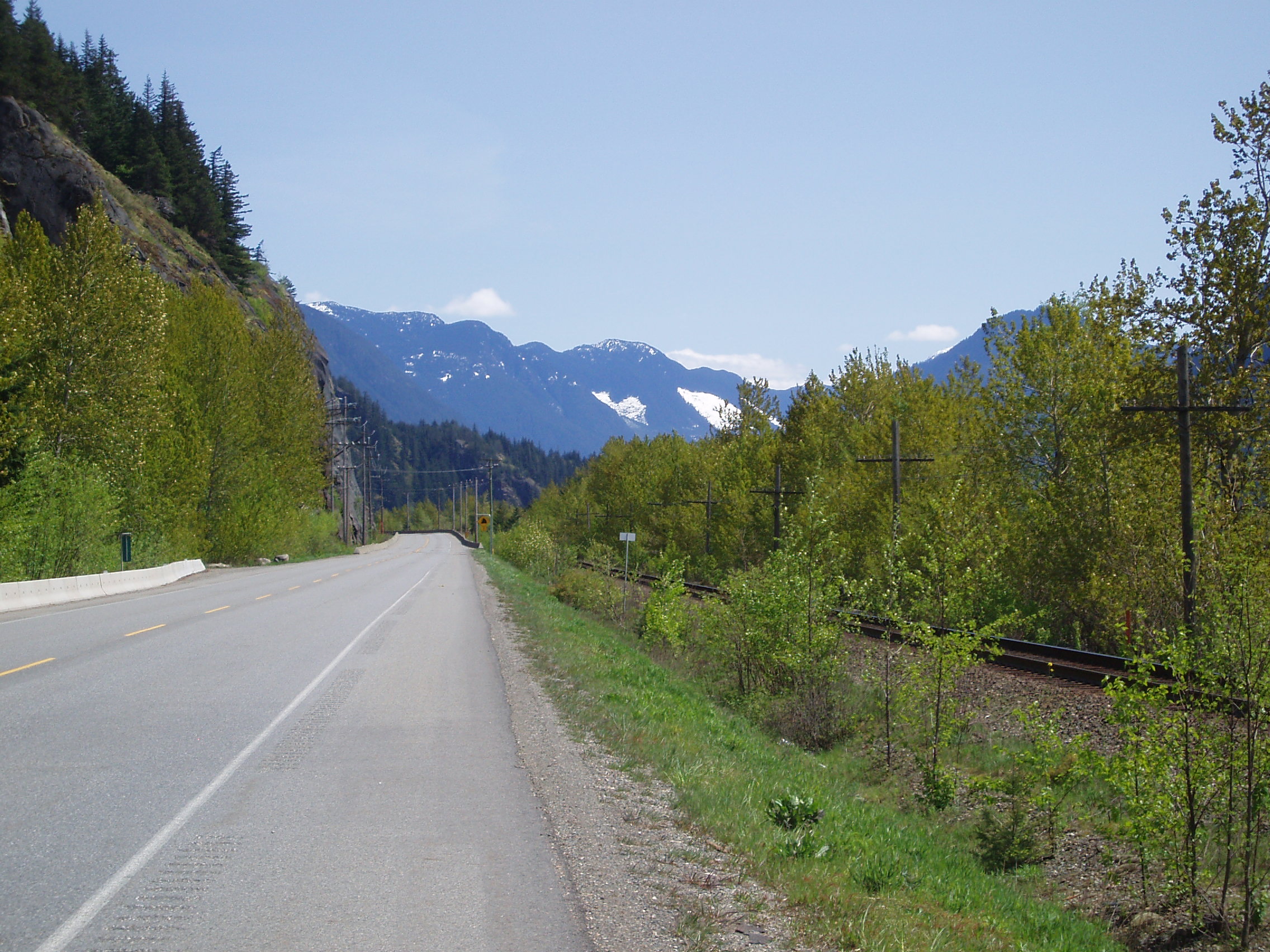
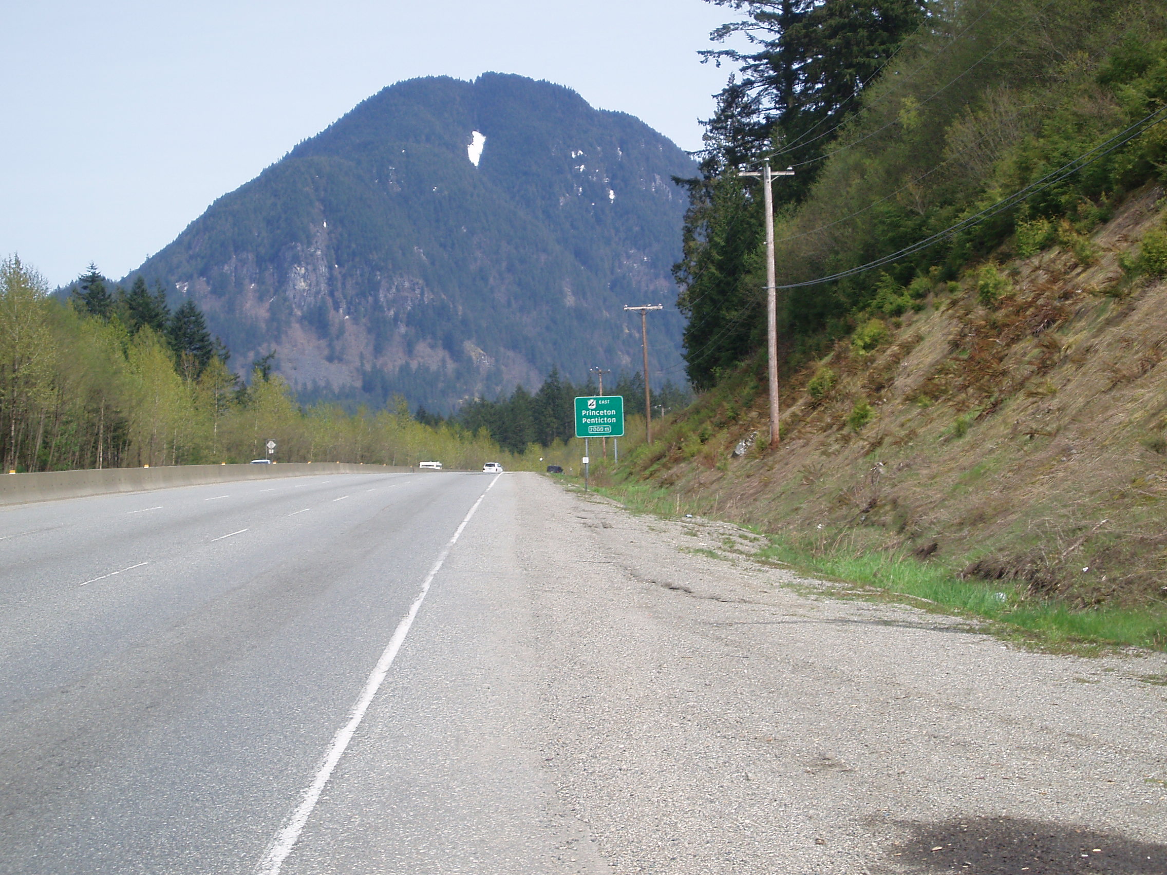
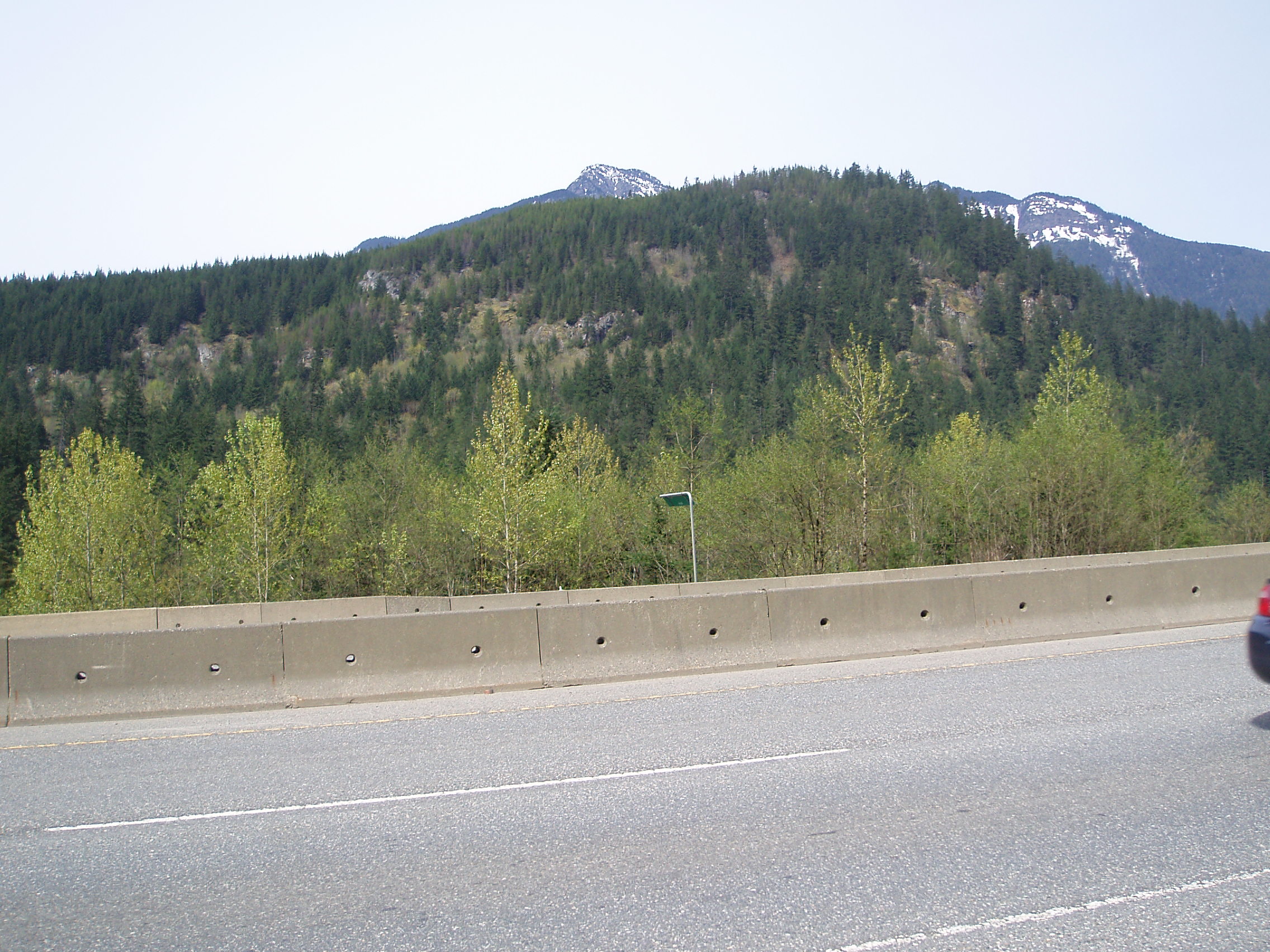
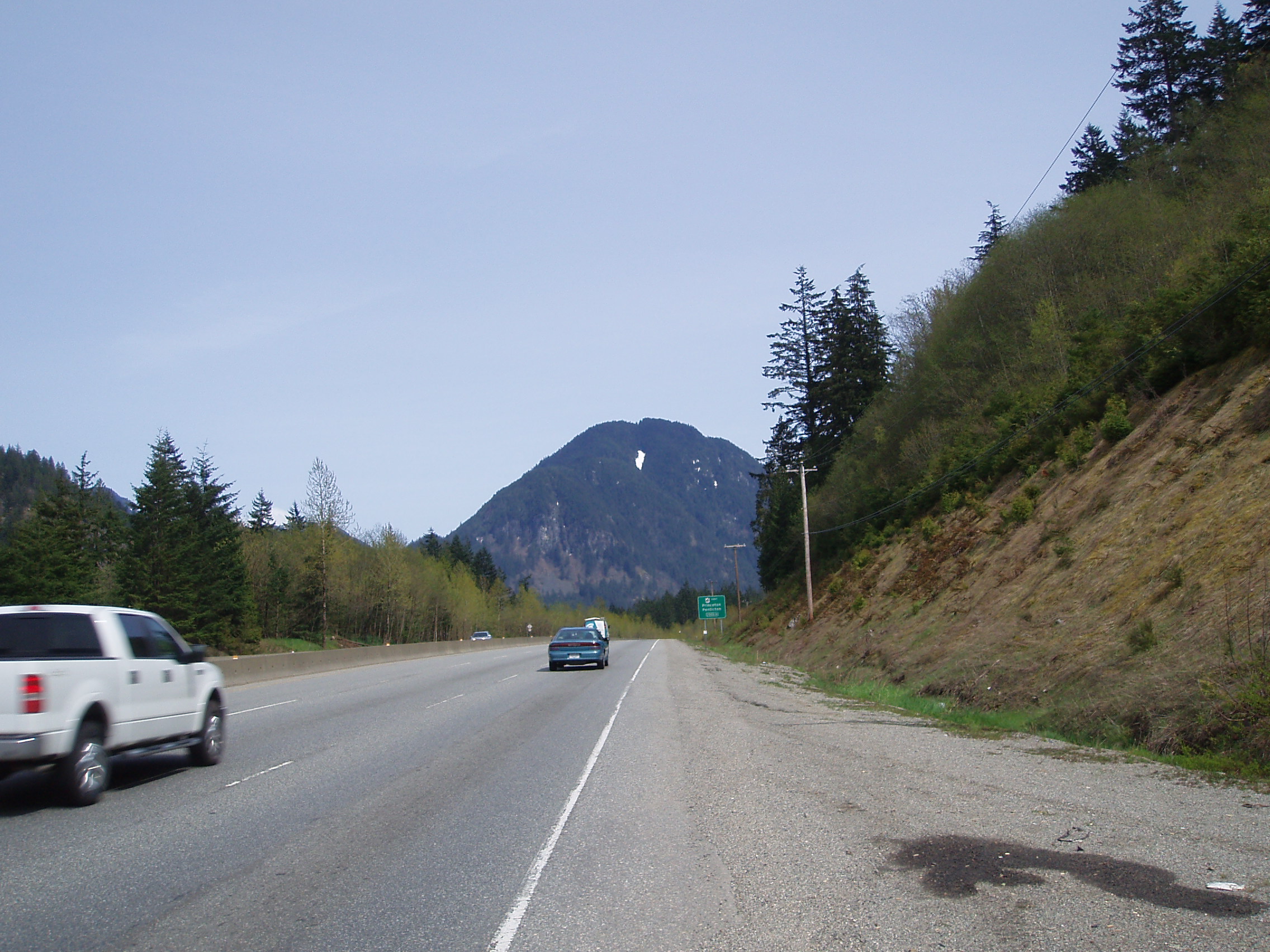
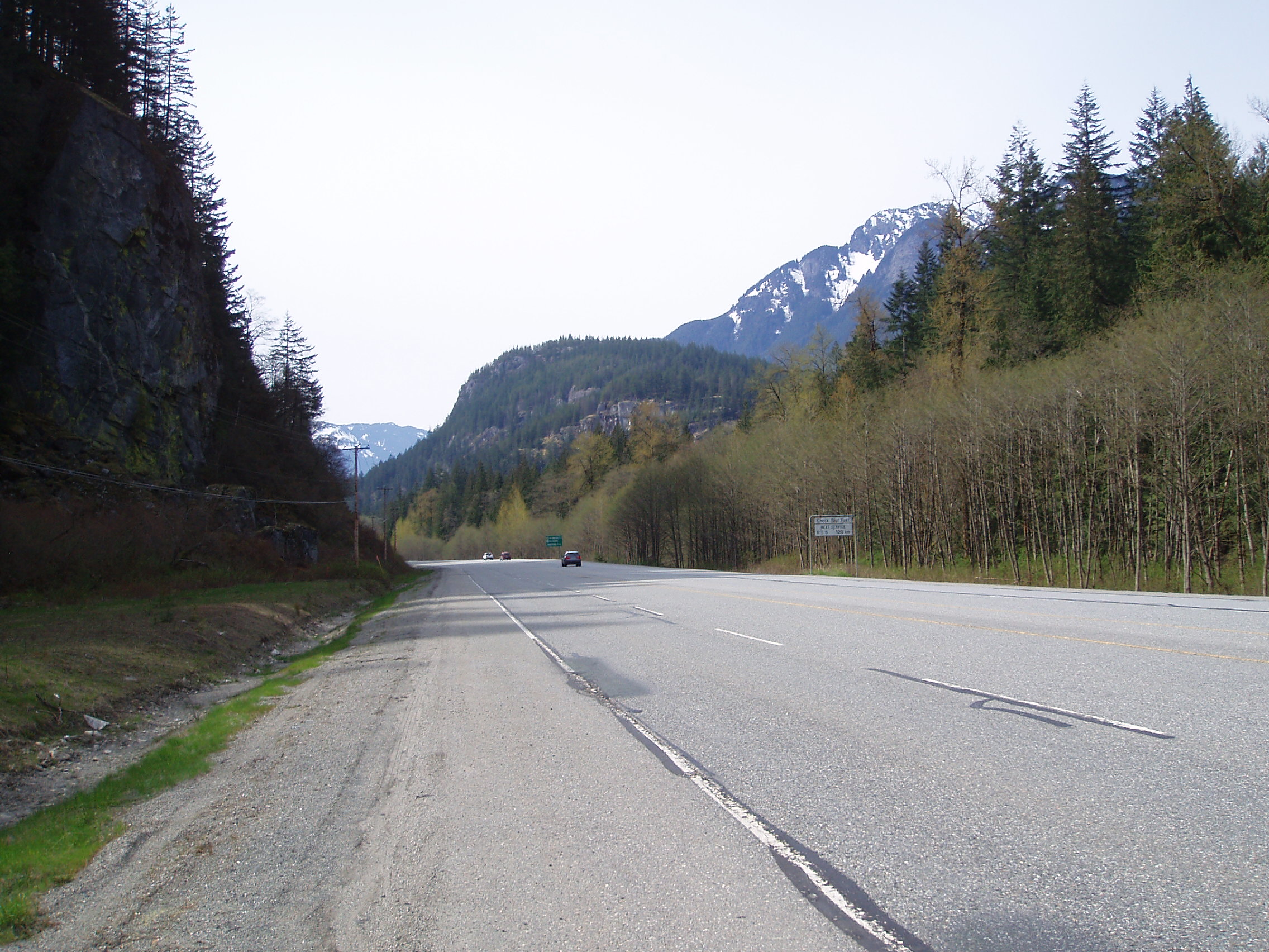
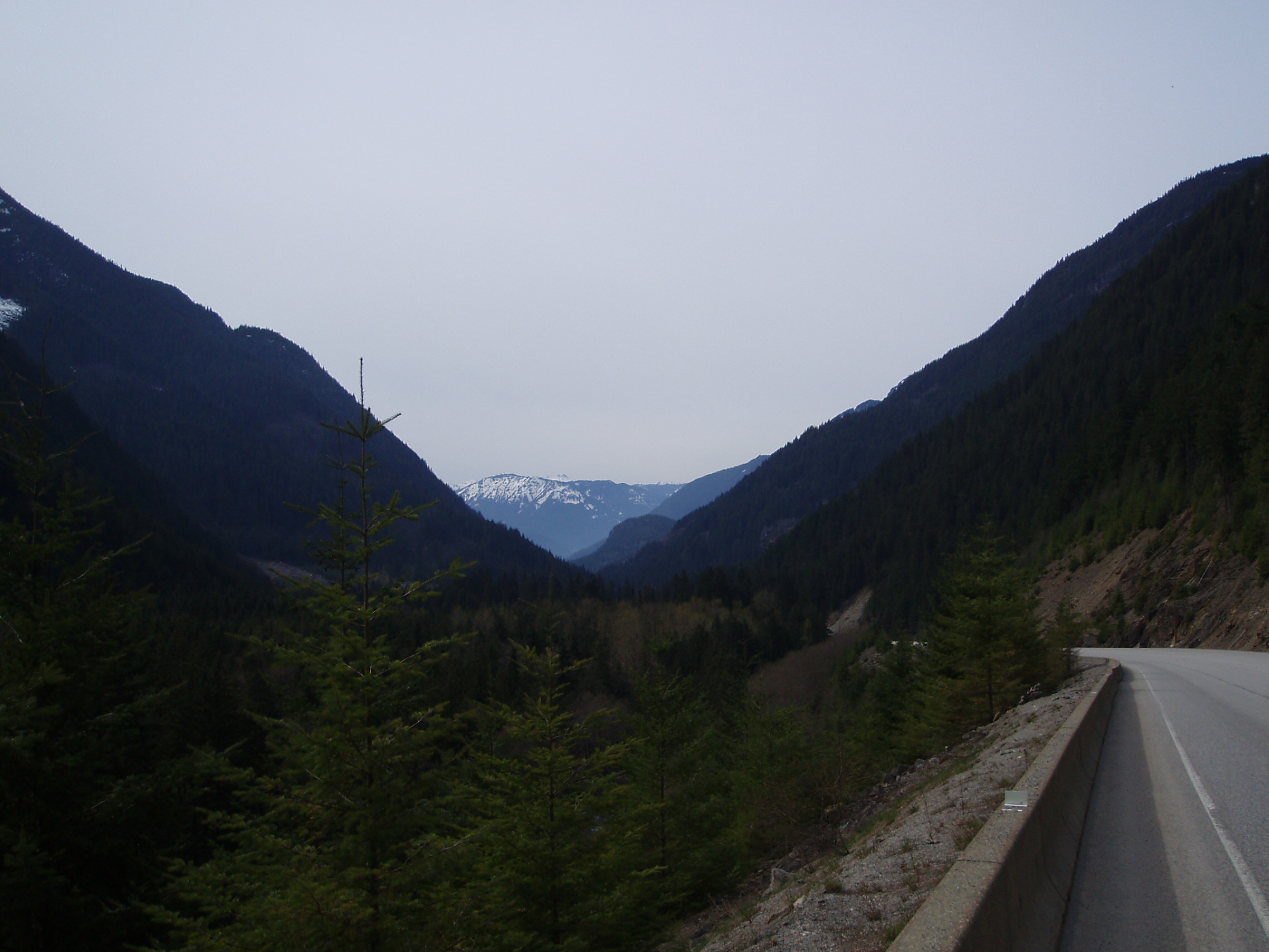
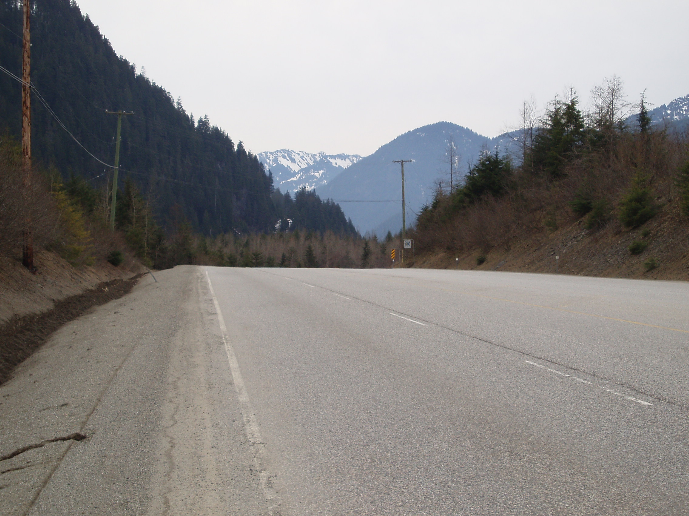
and I took advantage of having the camera out to take a few more pictures of the road ahead (because it was kinda scenic):
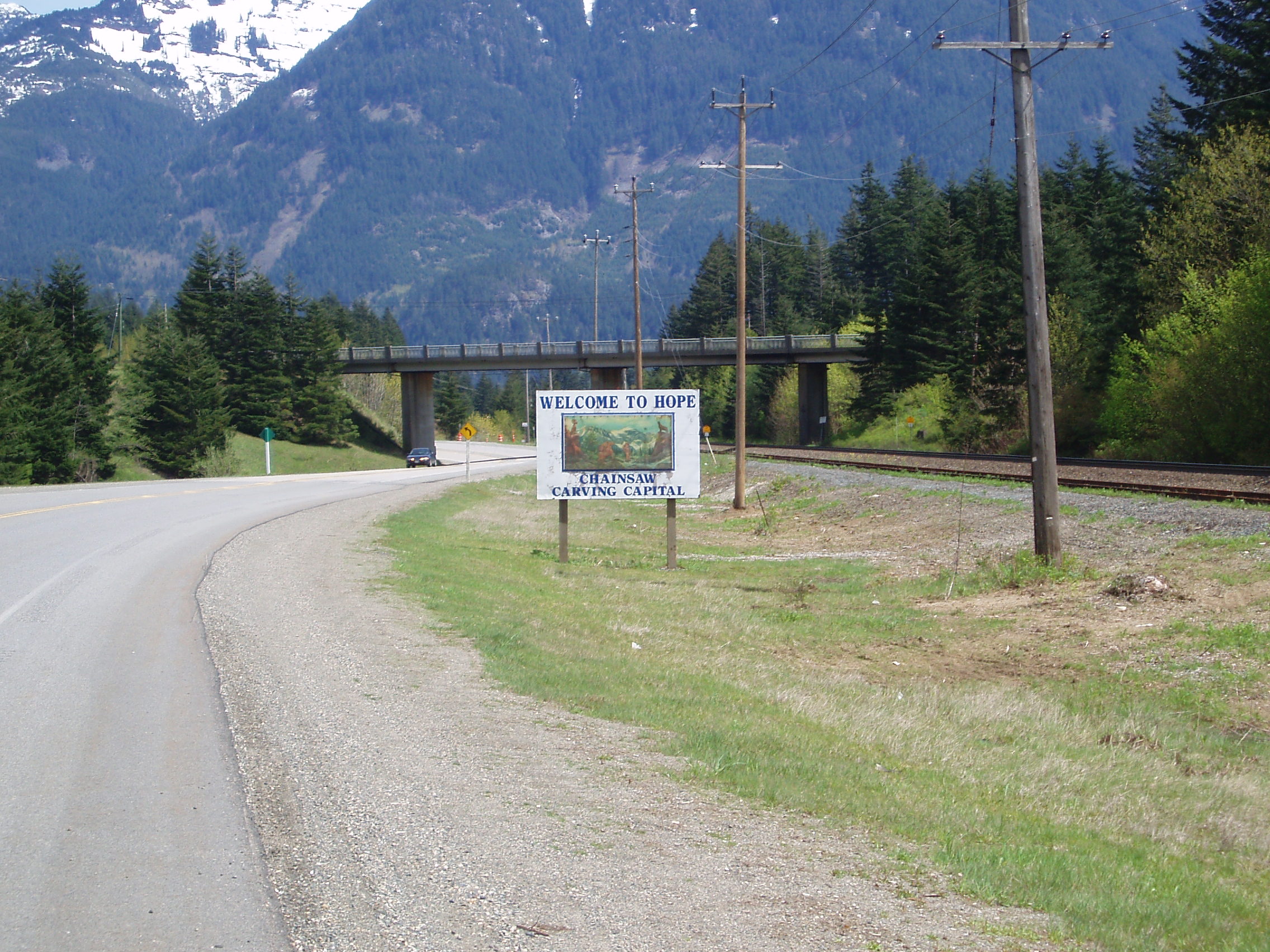
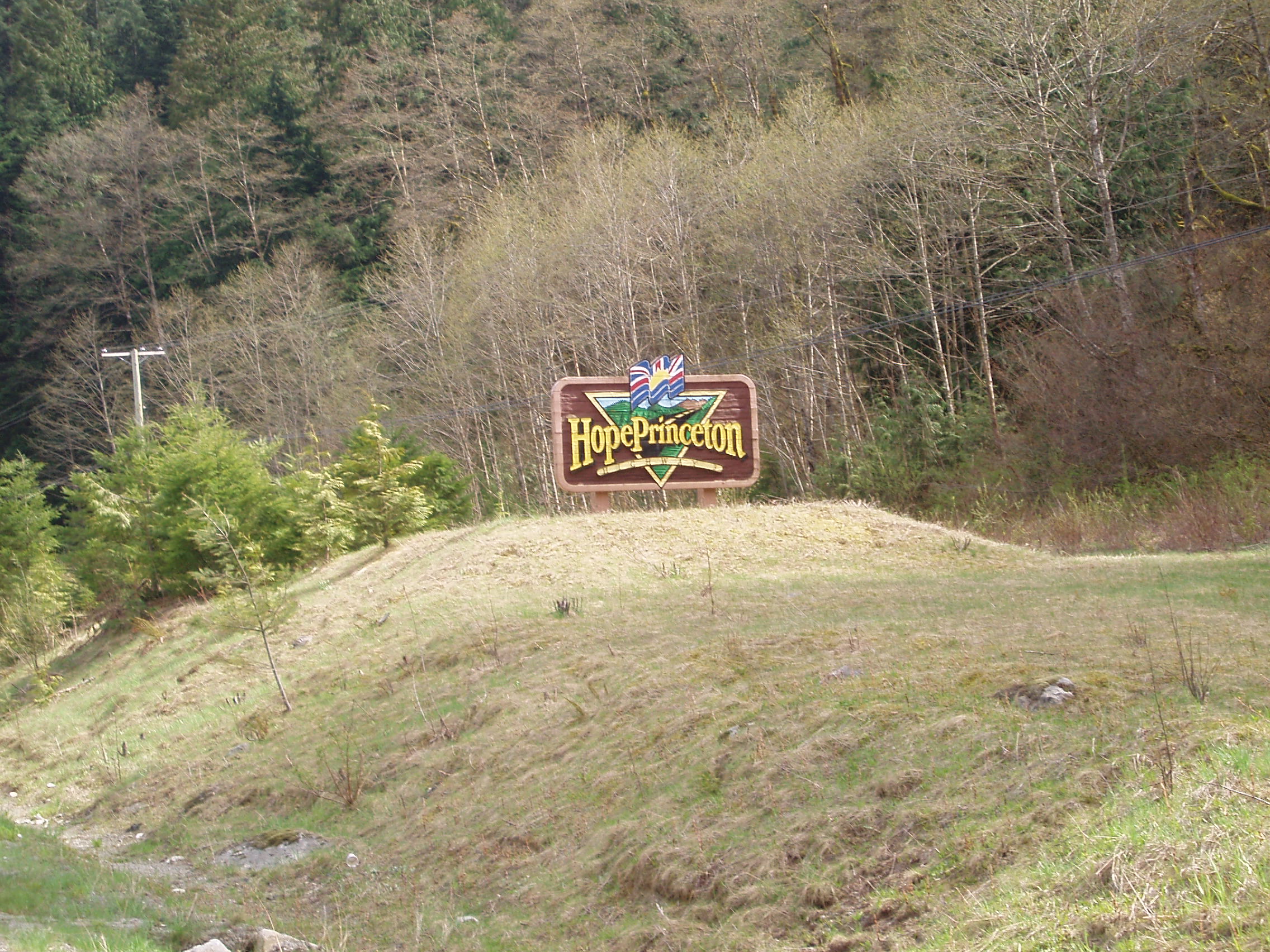
A short while later, I arrived in Hope, which is apparently the Chainsaw Carving Capital (of ???):
and dropped into the library to use the internet a little. There was a sports shop in town where I could probably have properly fixed up my bike, but being Sunday, it was closed, so I grabbed a few final bits of food, topped up my water, and hunkered down for the long, difficult, lonely ride to Princeton.
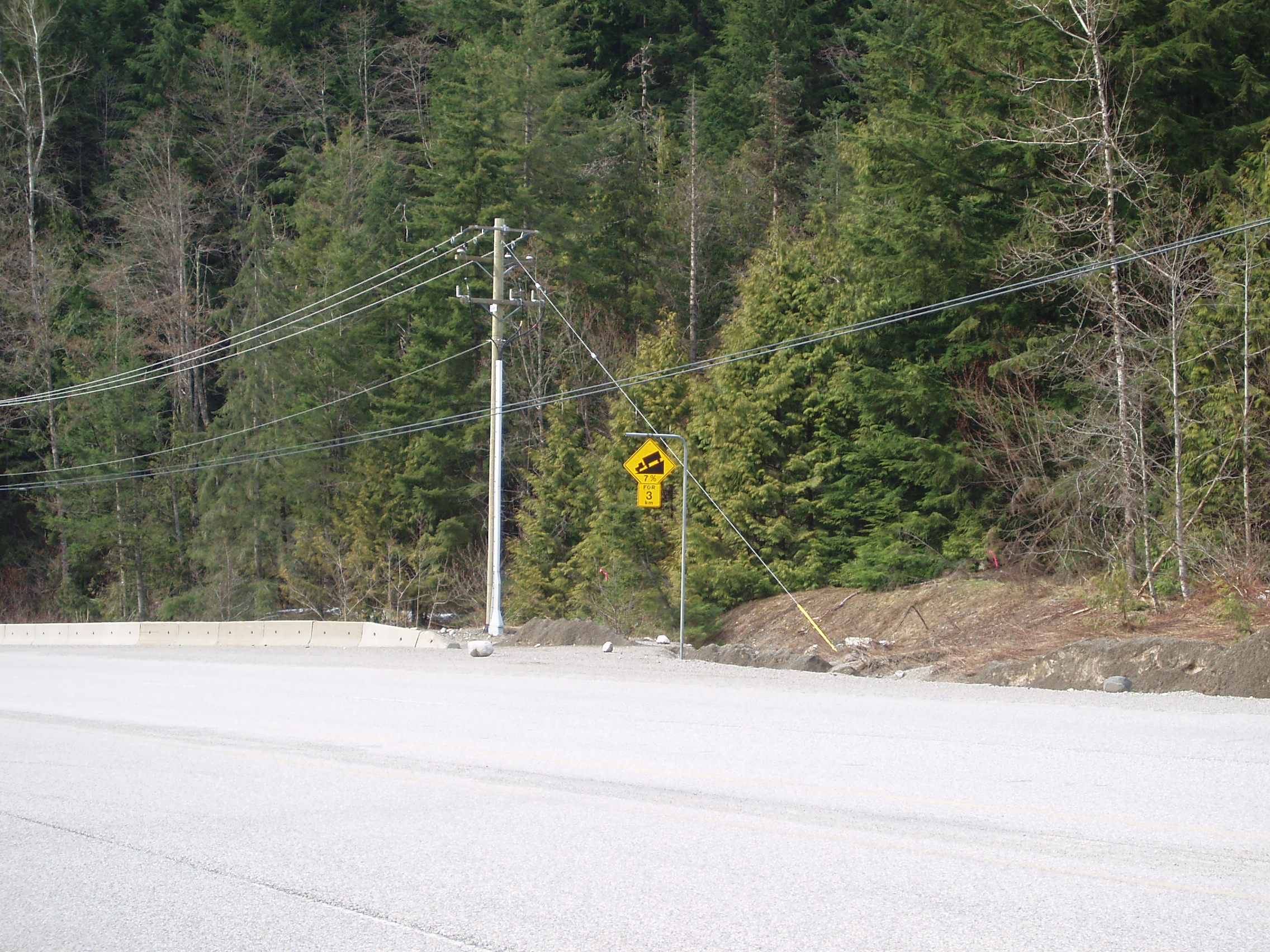
Naturally, there being 2 mountain passes between the towns, the ride started with a climb of about 15km (ok, so about 1km of it or so was actually level or descending, but it was a 7% grade which I believed to be steep at the time). While climbing, I discovered taking pictures to be a good way to kill time while stopped and waiting for my pulse to go back down to around 120 so I could resume climbing (drinking water and snacking are also good time sinks, but require some care with the depletion of provisions).
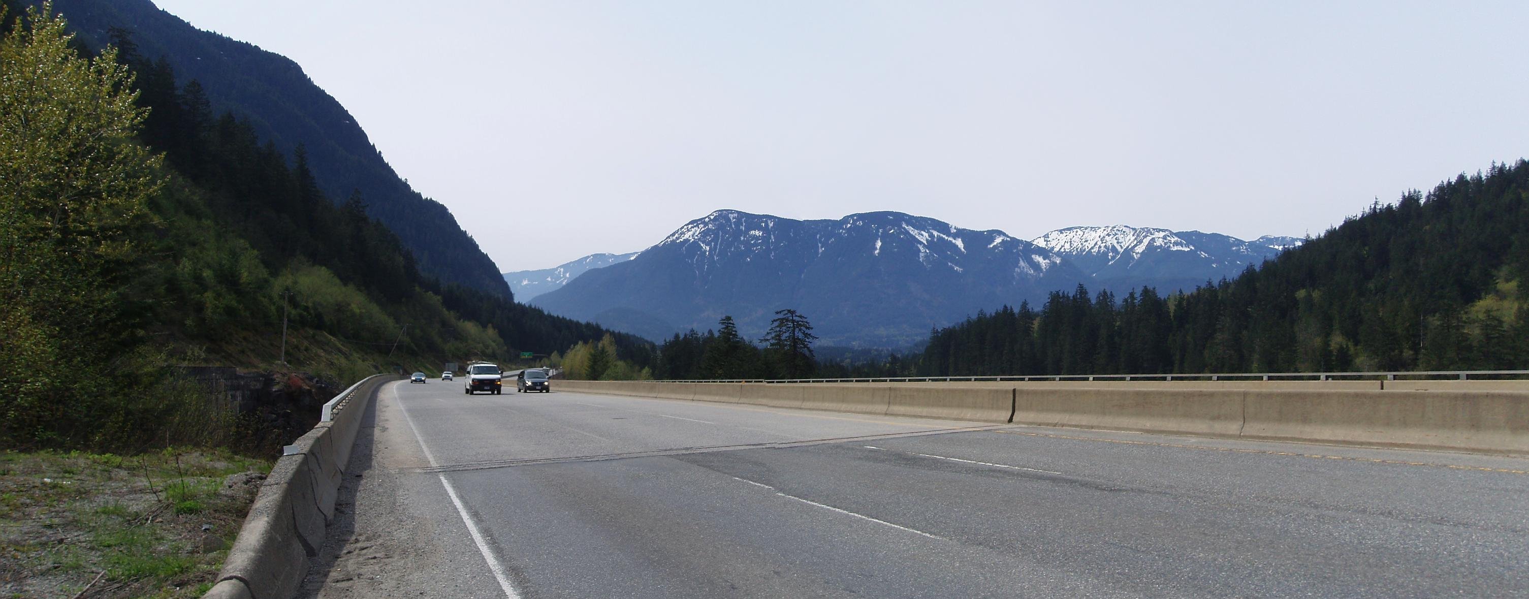
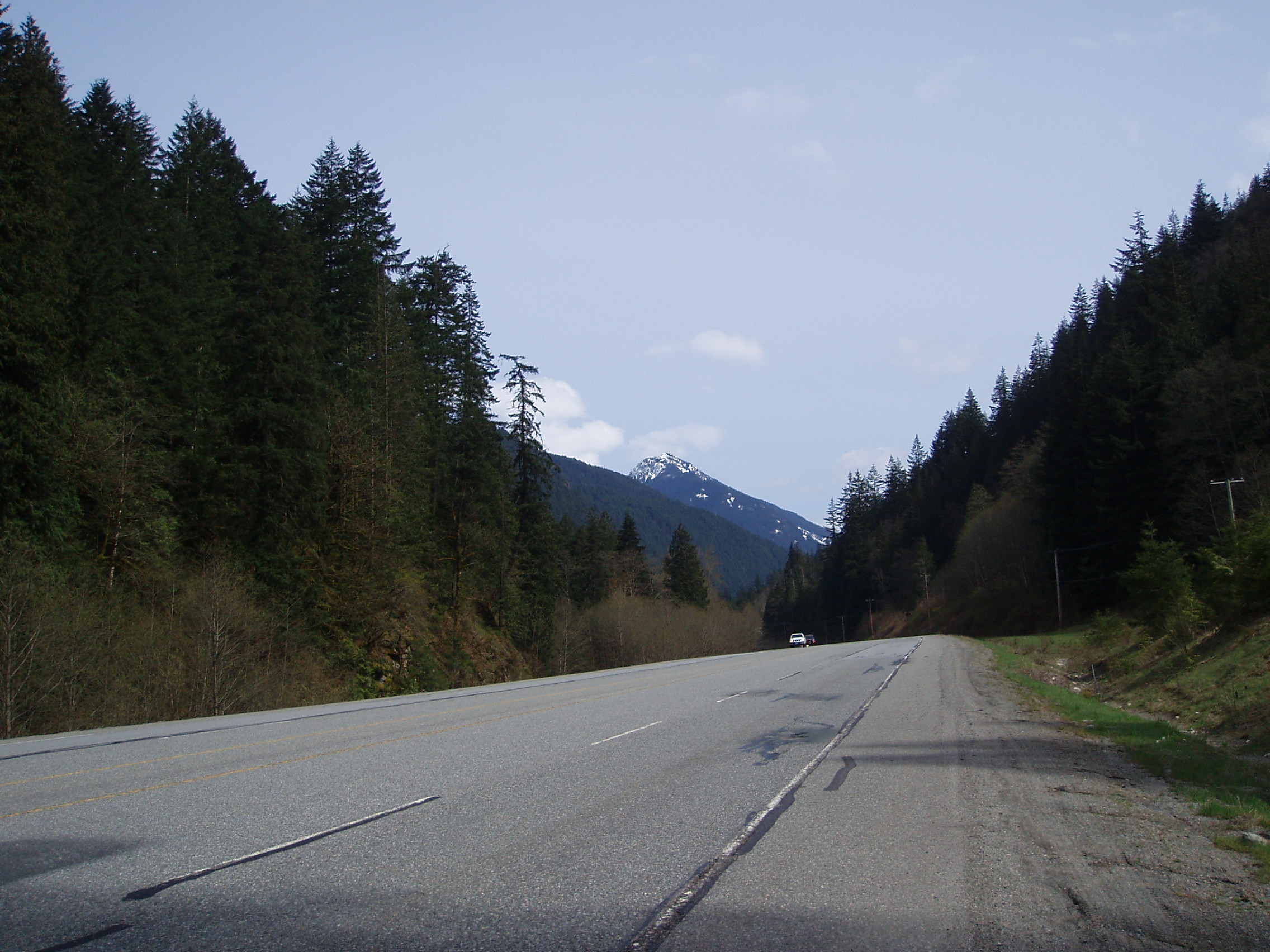
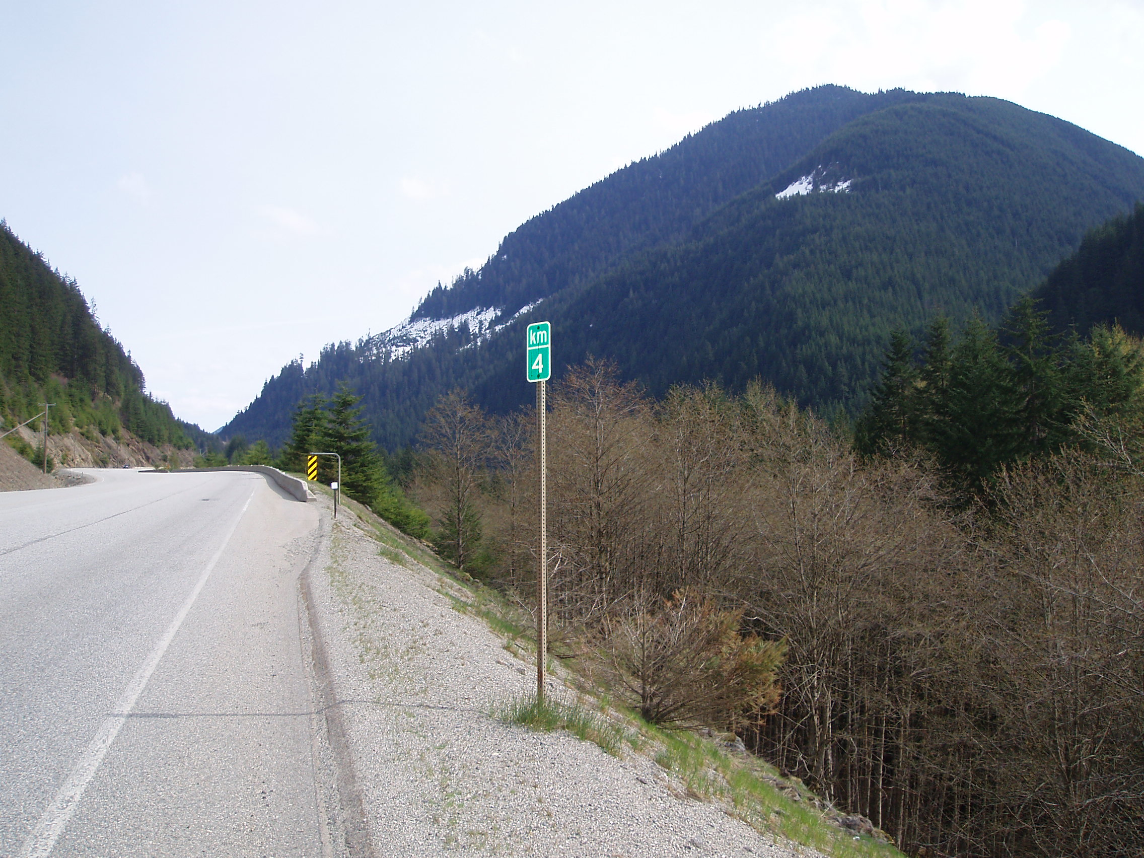
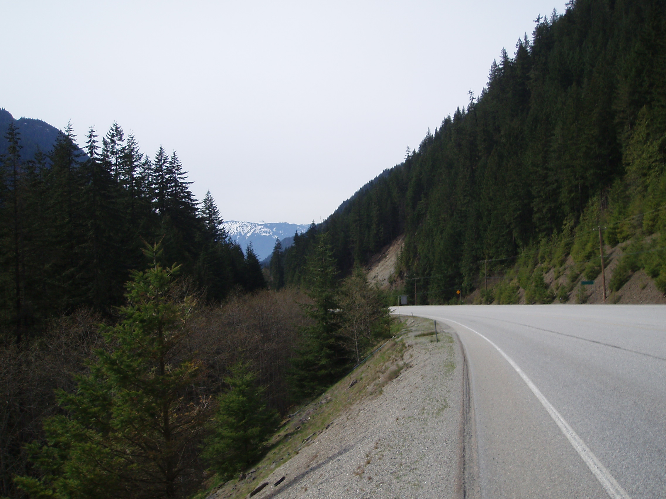
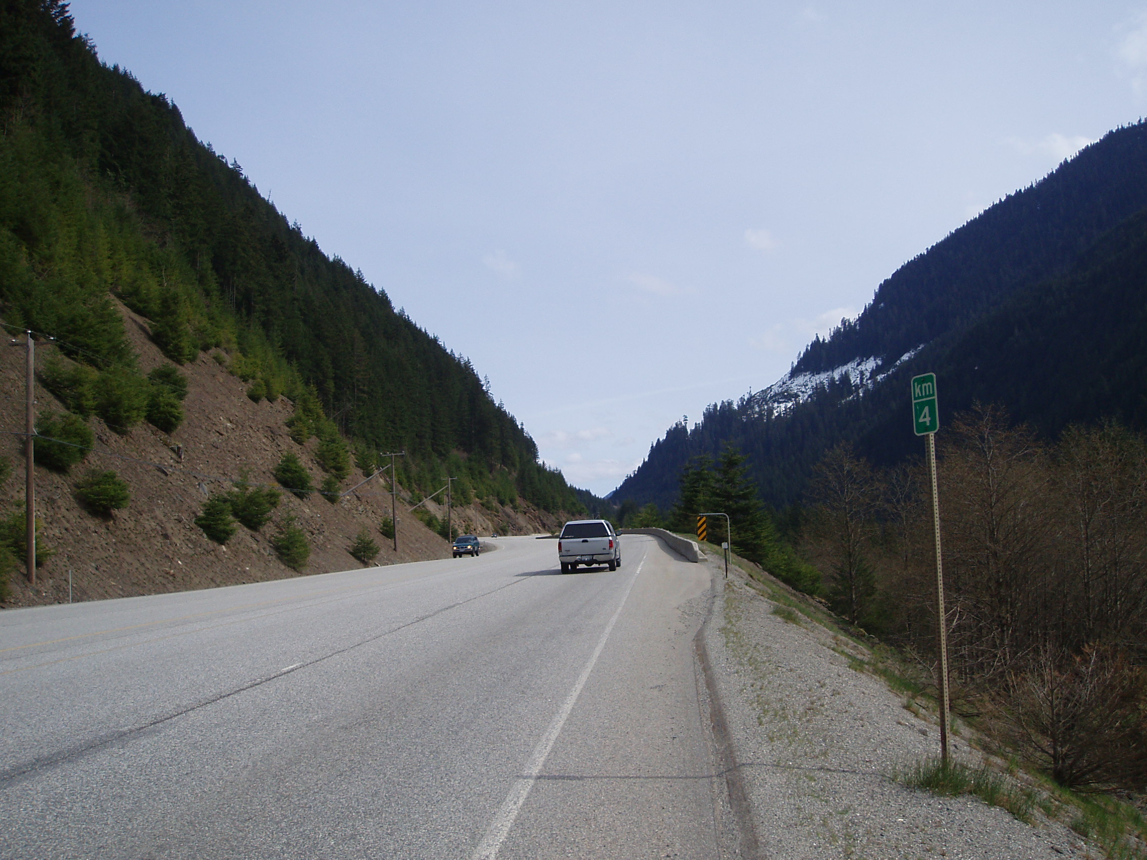
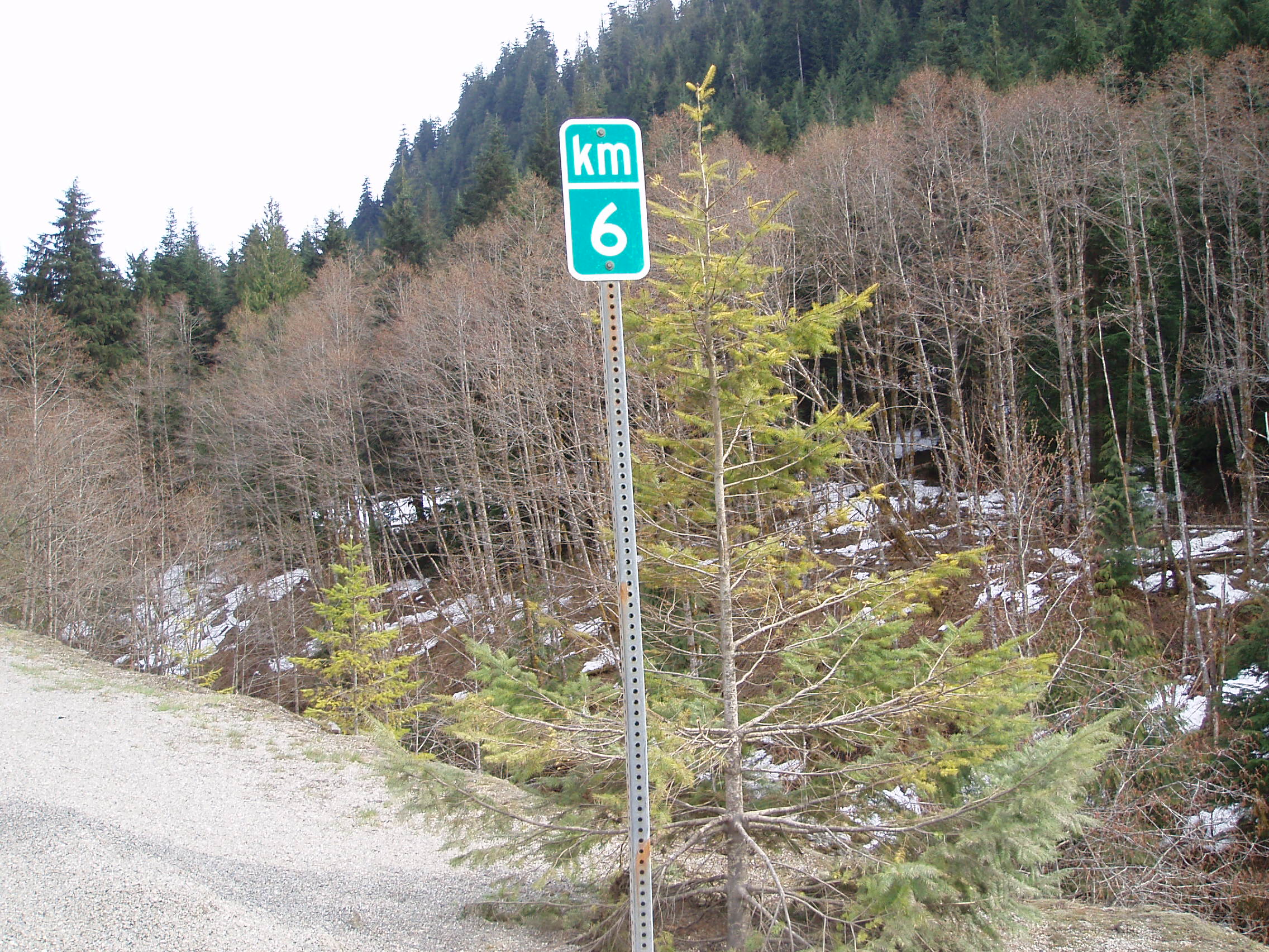
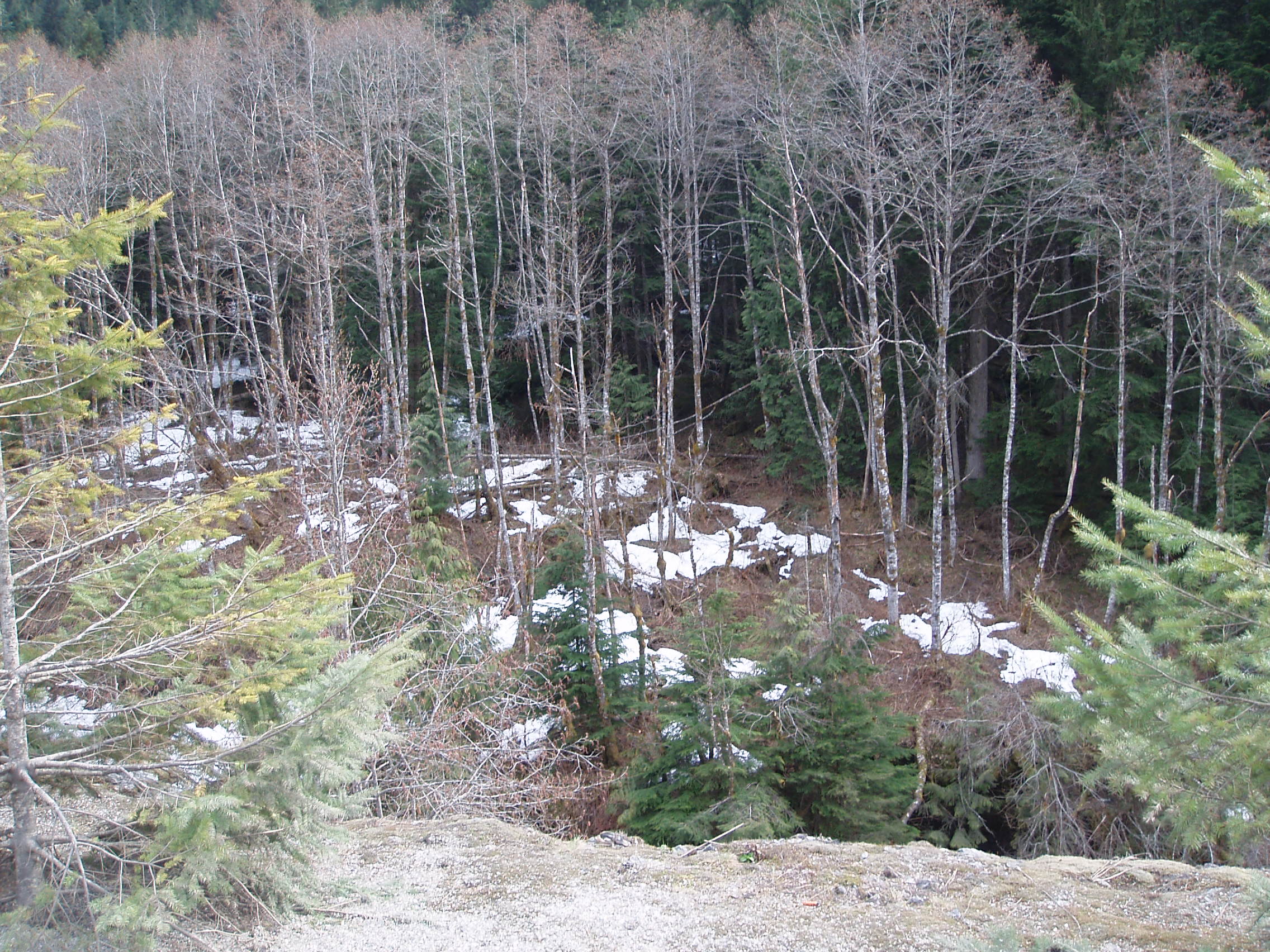
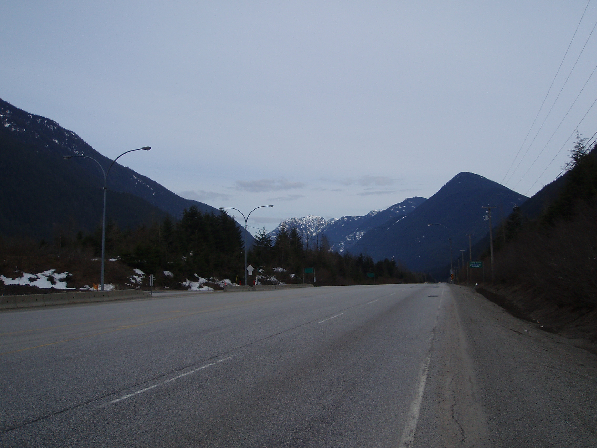
Note the large distance that must be travelled (mostly climbing) before coming across so much as a gas station.
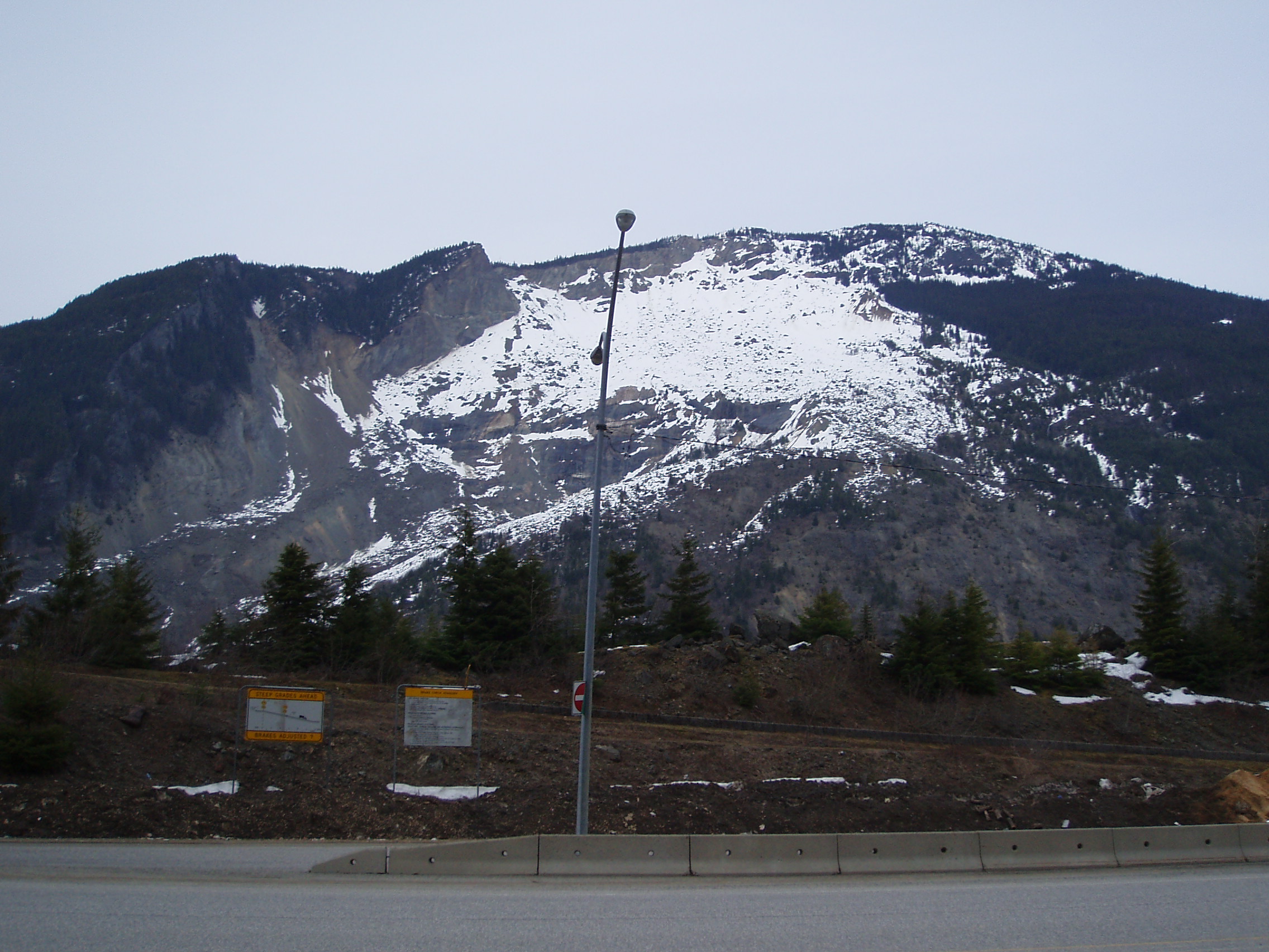
After getting to the Hope Slide lookout, I coasted down into Sunshine Valley (where there’s a residental community — I think mostly cottages still empty at this time of year — with no commercial services, but a community centre that I was able to make camp on the lawn/playground of).
On this night, I discovered that cellular coverage along the Crowsnest Highway varies between spotty and non-existent. I was unable make my evening call home, and felt really lonely and kinda homesick. I packed it in, resolving to call home at a park resort that was mapped to exist roughly halfway to Princeton. I also discovered that my planned standard dinner is too large by about half, but finished it off anyhow, since I had nowhere else to put it that would save me making headlines for being simultaneously the first bear sighting of the season, and the first bear casualty.
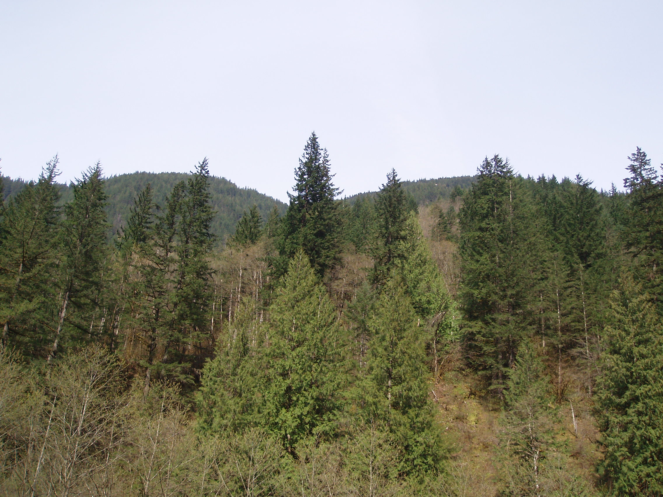
Also worth noting is that Hope Slide seemed to mark some sort of transition between nice warm valley air, and cool mountain pass air. It was a cool night, but not too cold to handle.
