June 16: Winnipeg to Darwin (~105km)
After waking up at 9am, I was still in something of a not-riding headspace, so I prepared myself a new sheet of paper with important details from my notebook for the next few days (a habit I’d been refining since a little under a week into the ride; important details including phone numbers to call ahead for accomodations, grocery lists, etc.) I also made a few minor repairs on the bike, and decided (my host in Winnipeg not having a pressure gauge on his foot pump) to pick up a portable tire pressure gauge at MEC (like I’d been meaning to since I got my pump in Vancouver).
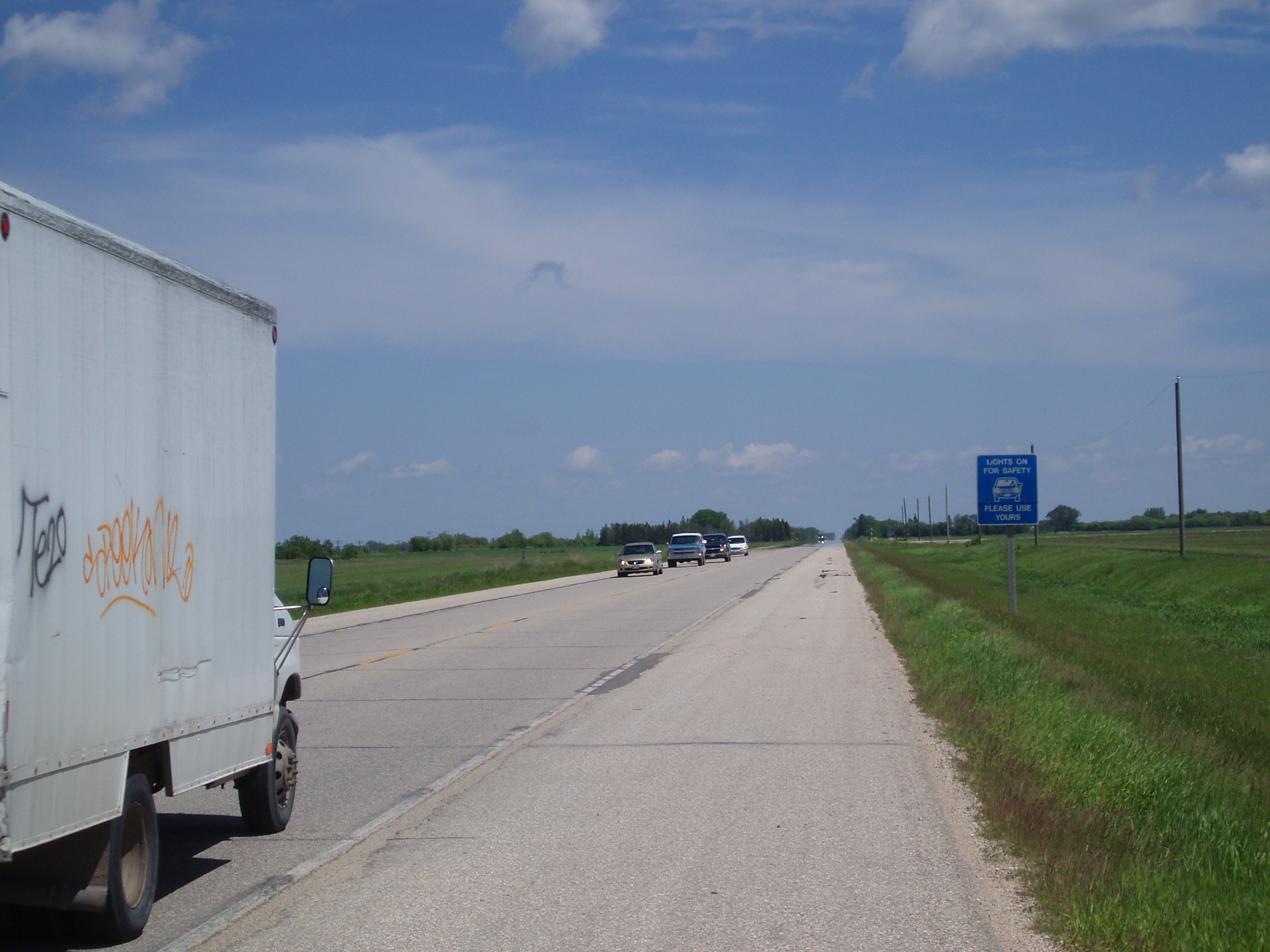
I got out some time between 11am and noon, swung by MEC, swung by the post office to mail off a form, and did a grocery run all on my way out of Winnipeg, and was properly on my way (and most of the way out of Winnipeg) by about 1pm.
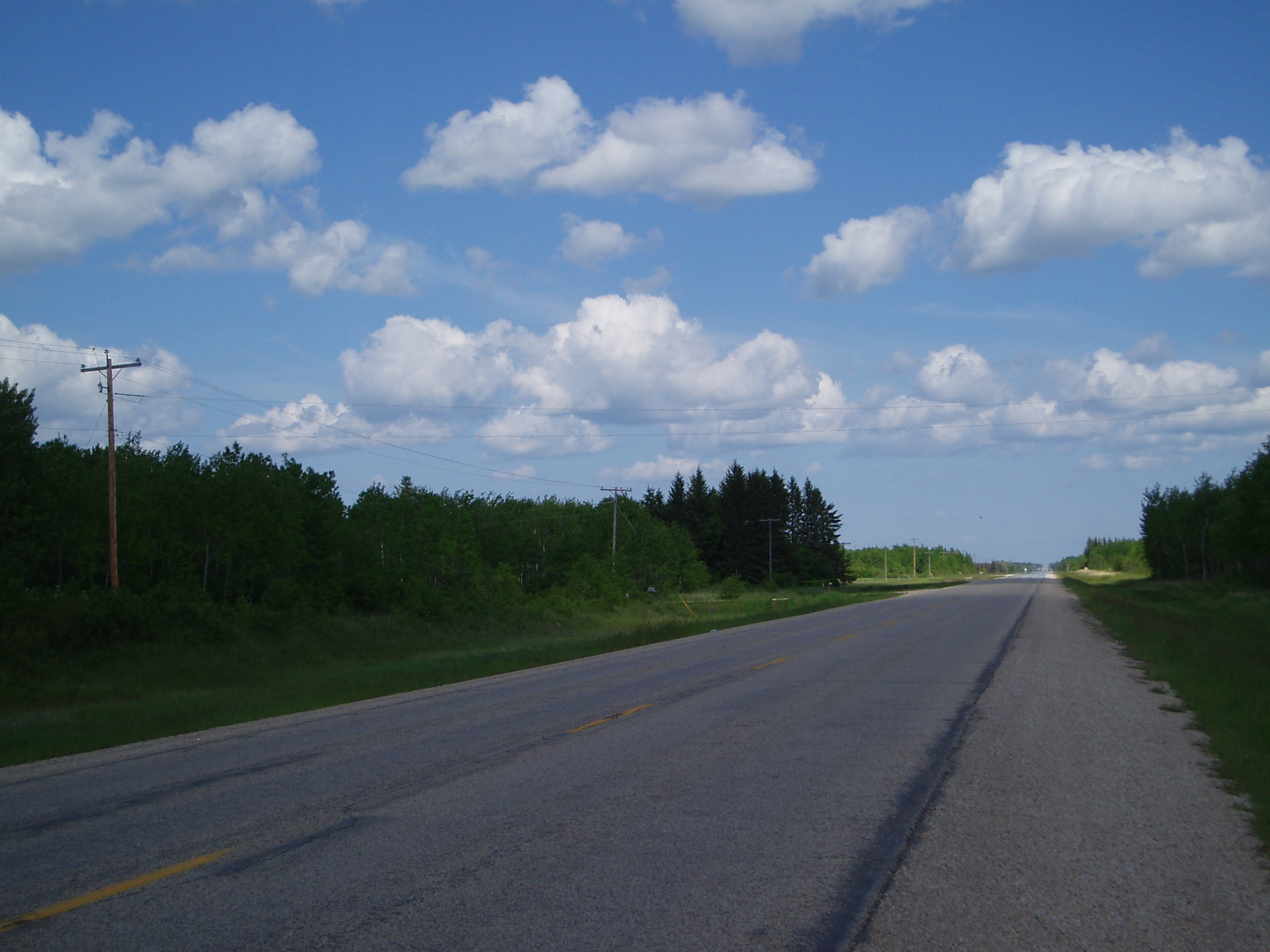
Having missed some of spectacularly flat terrain just west of Winnipeg while zipping past it in the back of a car, I felt compelled to try and make up for it by photographing some of the comparably flat (but slightly more treed) terrain just east of Winnipeg.
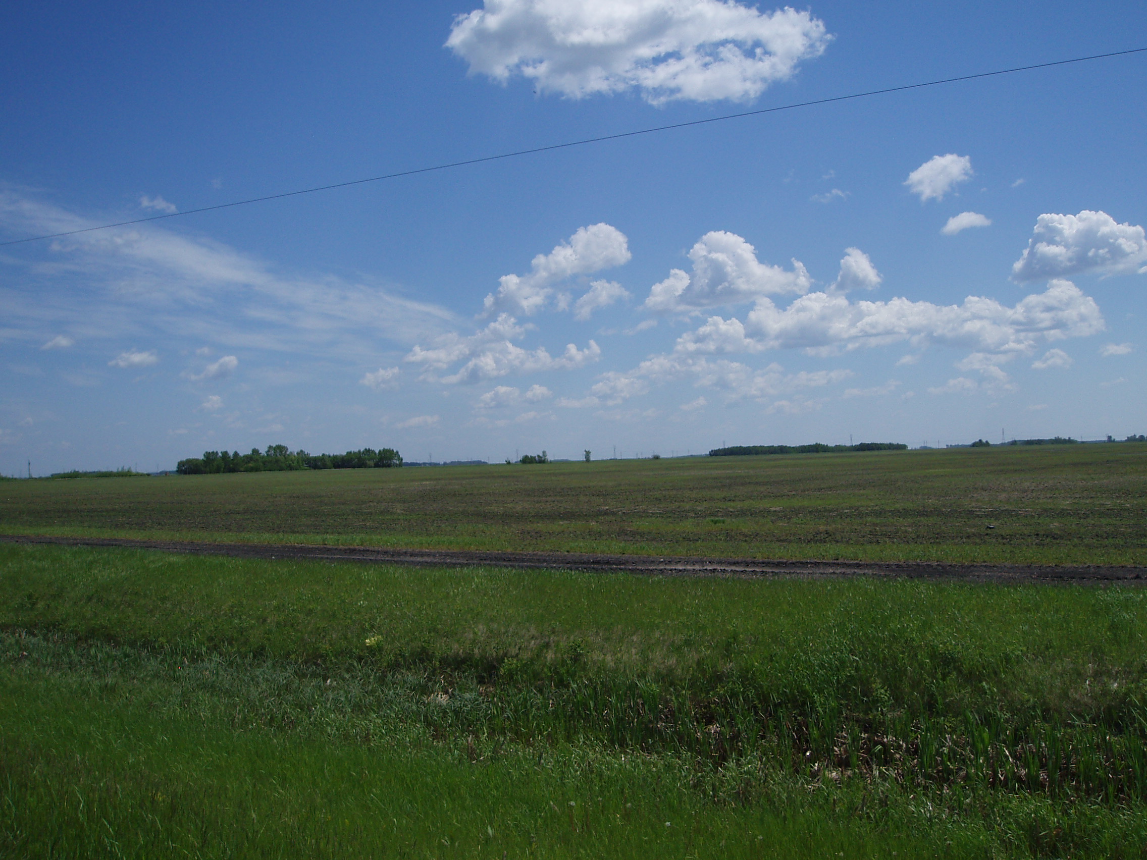
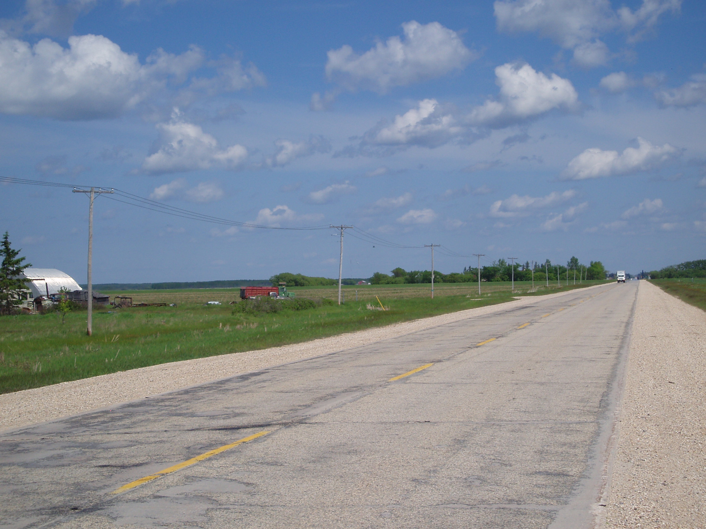
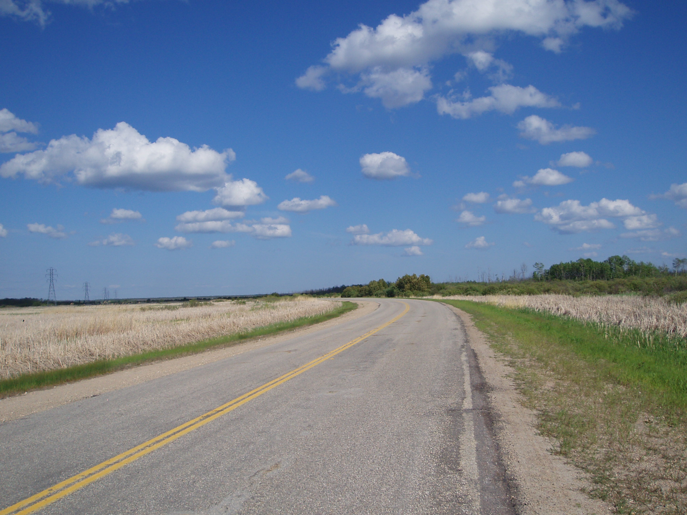
There wasn’t a great deal of interest happening on this particular stretch of road except for the gradual transition to the Canadian Shield. One particularly distinct change was the rather abrupt appearance of a sort of forest (though the ground remaind mostly flat). When I first saw it, there was just an edge of trees on the eastern horizon, so naturally, I took some pictures:
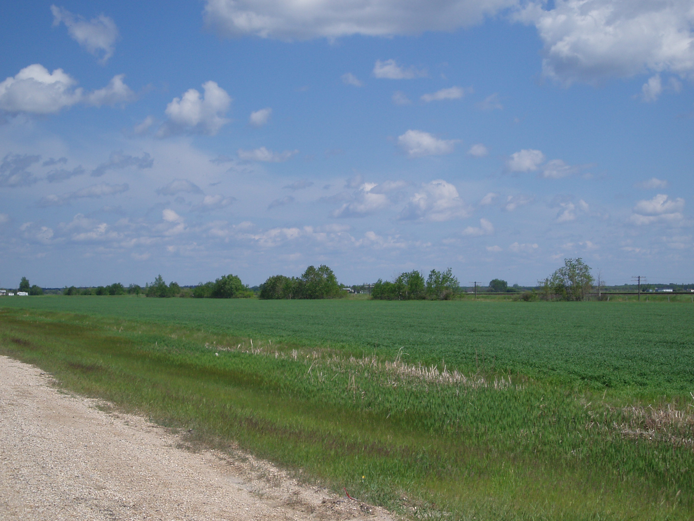
And then some more once I’d crossed into the woods
That said, before there was any transition to the sort of terrain I recognize as Canadian Shield, there was also a good solid patch of another geographical feature I recognize from Ontario: wetlands.
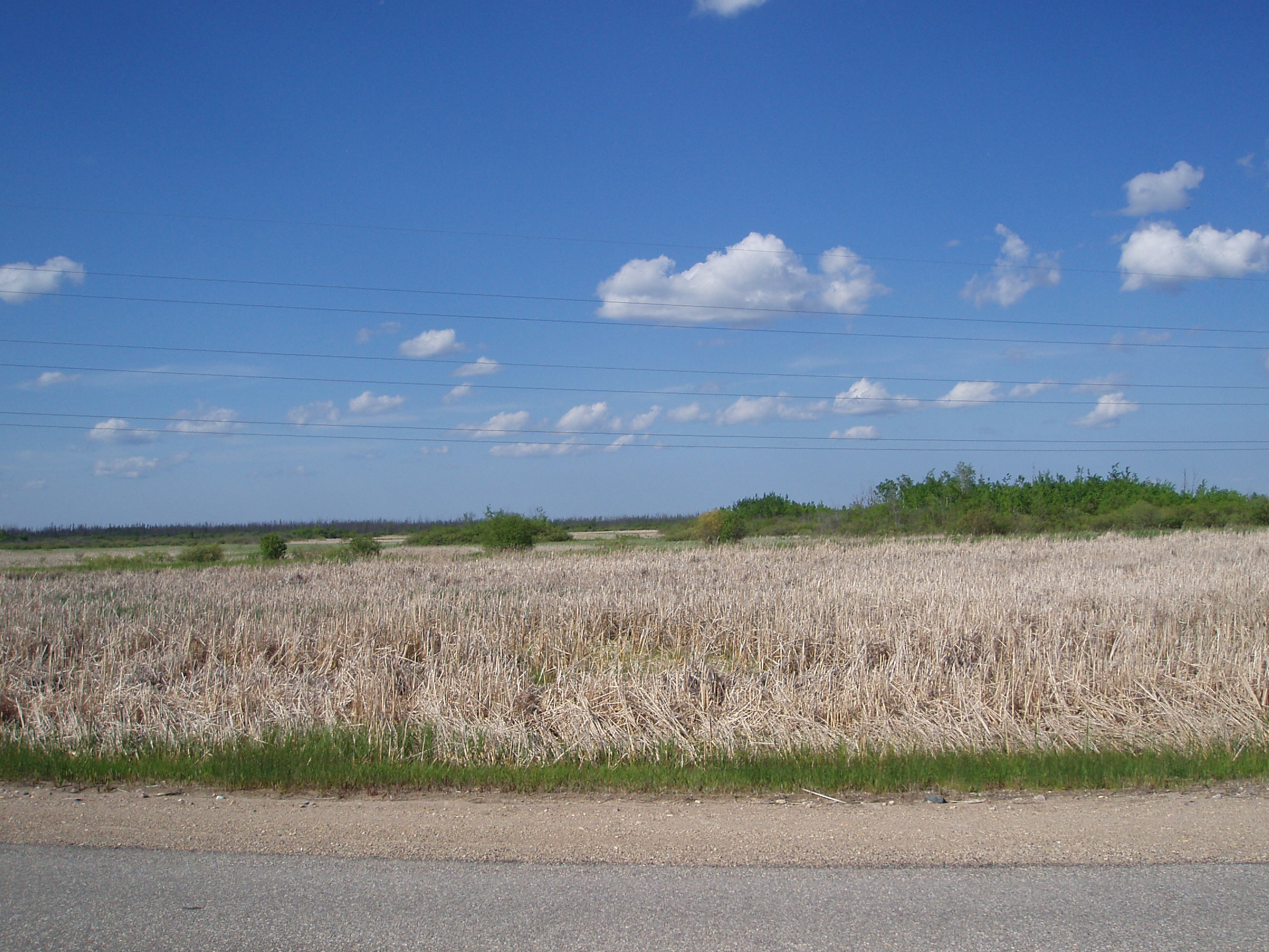
(Yes, the stalks look dry, but I can assure that the ground they’re growing in is anything but.)
Finally I rolled on towards my 80km mileage target for the day and started looking for suitable camping ground. Regrettably, recent heavy rains had made all the local ditches quite wet (i.e. small creeks), so I could only get my bike well off the road in a few places where there was some sort of driveway, or other feature disrupting the ditch. Worse still, every such opportunity I encountered for the first 10km or so after starting to look, appeared to be overgrown with poison ivy. Then after about 10km, I found myself in Elma, where I topped my water back up, and asked after decent places to camp. The only (admittedly questionable) suggestion I got was to try next to the river running through town, so I went there, but the only ground flat enough to pitch a tent on was solid granite. Consequently, I had to continue through town, and kept looking for a suitable campsite on the other side of town.
Before doing so though, I took advantage of the (very weak) cell signal to call ahead to the warmshowers host in Falcon Lake to see about spending the next night there. Sadly, he was going to be away, so I wouldn’t have anywhere to stay. On the other hand, I’d put in enough miles that making Kenora the next day appeared entirely reasonable.
Eventually, after 105km of riding, I found something passable. It was riddled with bugs, and there wasn’t much by way of reasonably strong tree branches to hang my food from, but it was reasonably flat, dry, and free of poison ivy.
