May 31: Kipling to Brandon (~220km)
I got up, and was able to start on my way at around 9:30am. Much to my delight, the highway disrepair running from Peebles to Kipling appeared to end at Kipling, and I was able to enjoy some more nice roads.. at least most of the time.
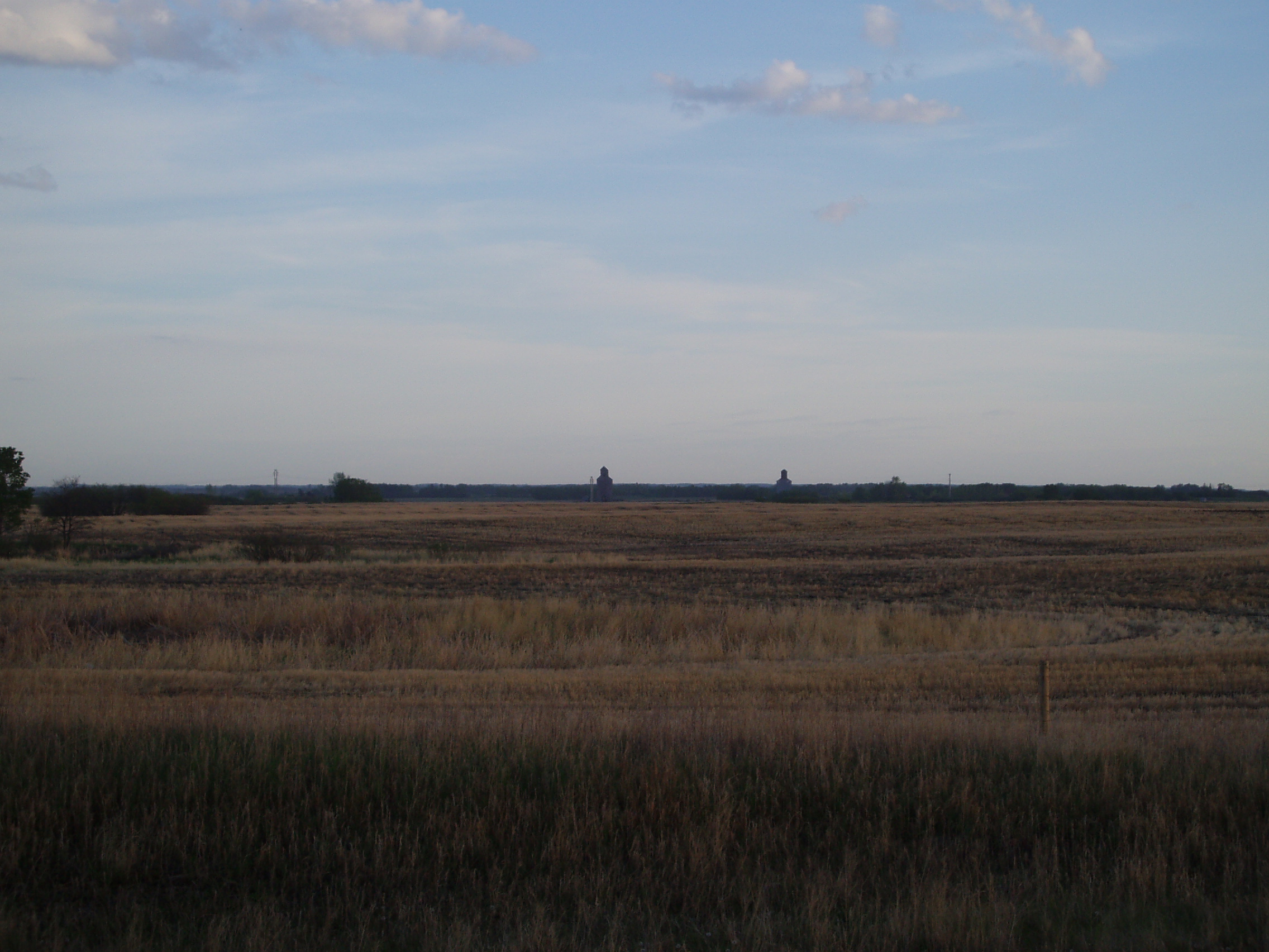
Getting a reasonably early start, allowed me to take another shot of some nice prairie skies, with a few old grain elevators off in the distance
I also got a picture which is probably only amusing to people who have lived in Toronto, and only if they know the picture to have been taken in Kipling:
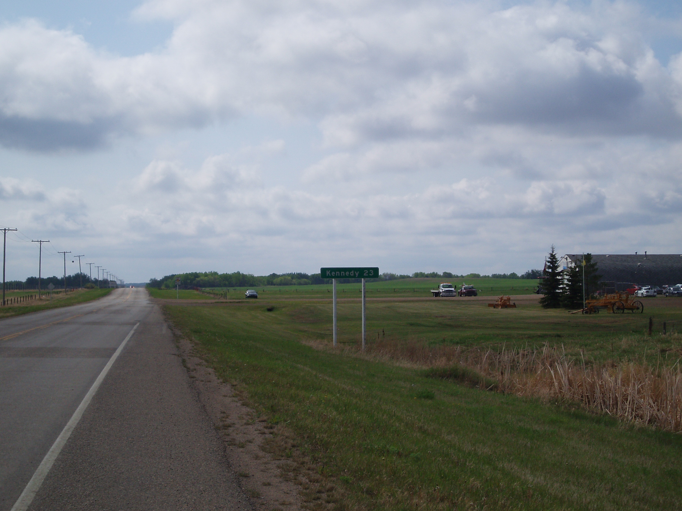
(though back in Toronto, the Bloor-Danforth line runs closer to 27km between Kipling and Kennedy, just how close the distances were is amusing nonetheless).
Now I hinted earlier that there were some nasty road conditions later in the day. You see, for a short while, Hwy 48 runs south along Hwy 9 before turning back off onto its own roadway again. Where it turned off, it looked to be a dirt road, with large oil slicks on either side, and an orange sign warning “fresh oil”. Because the oil stank, I didn’t stop to take any pictures until I had gotten past it.
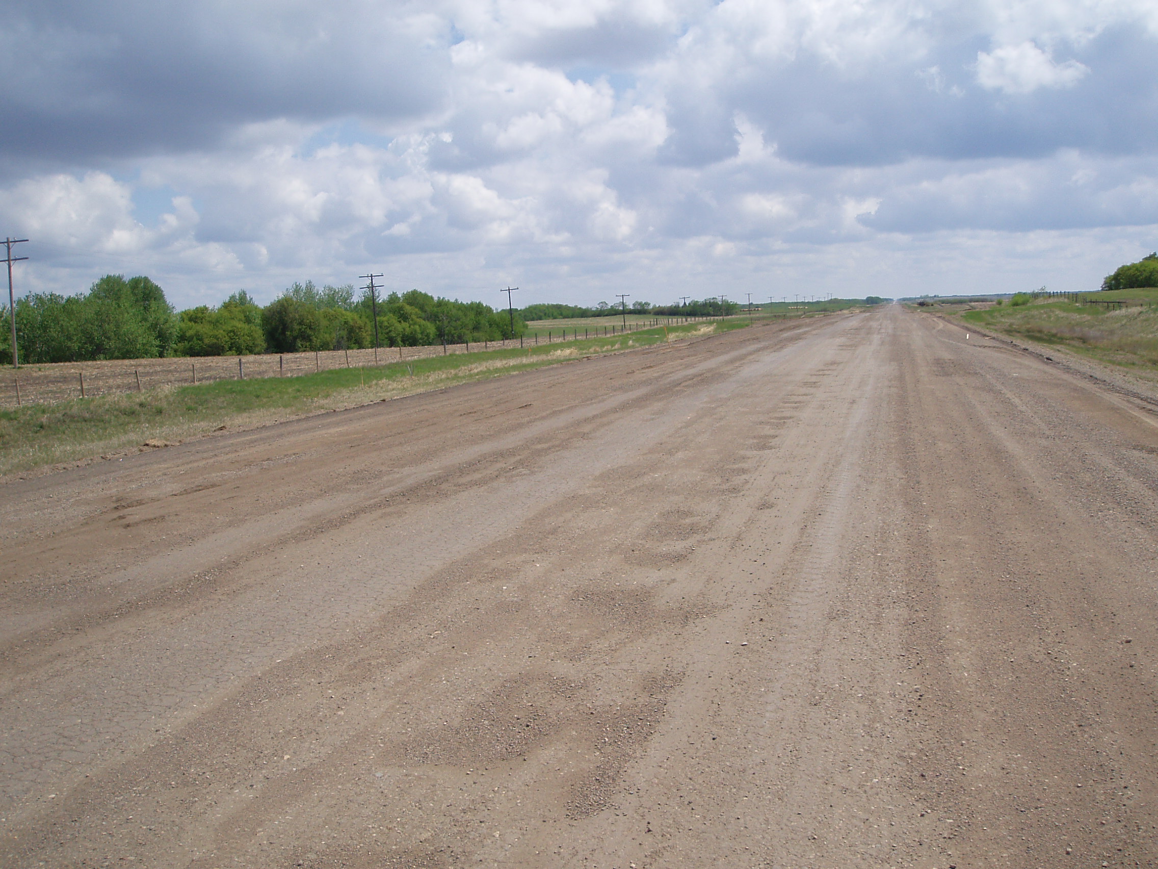
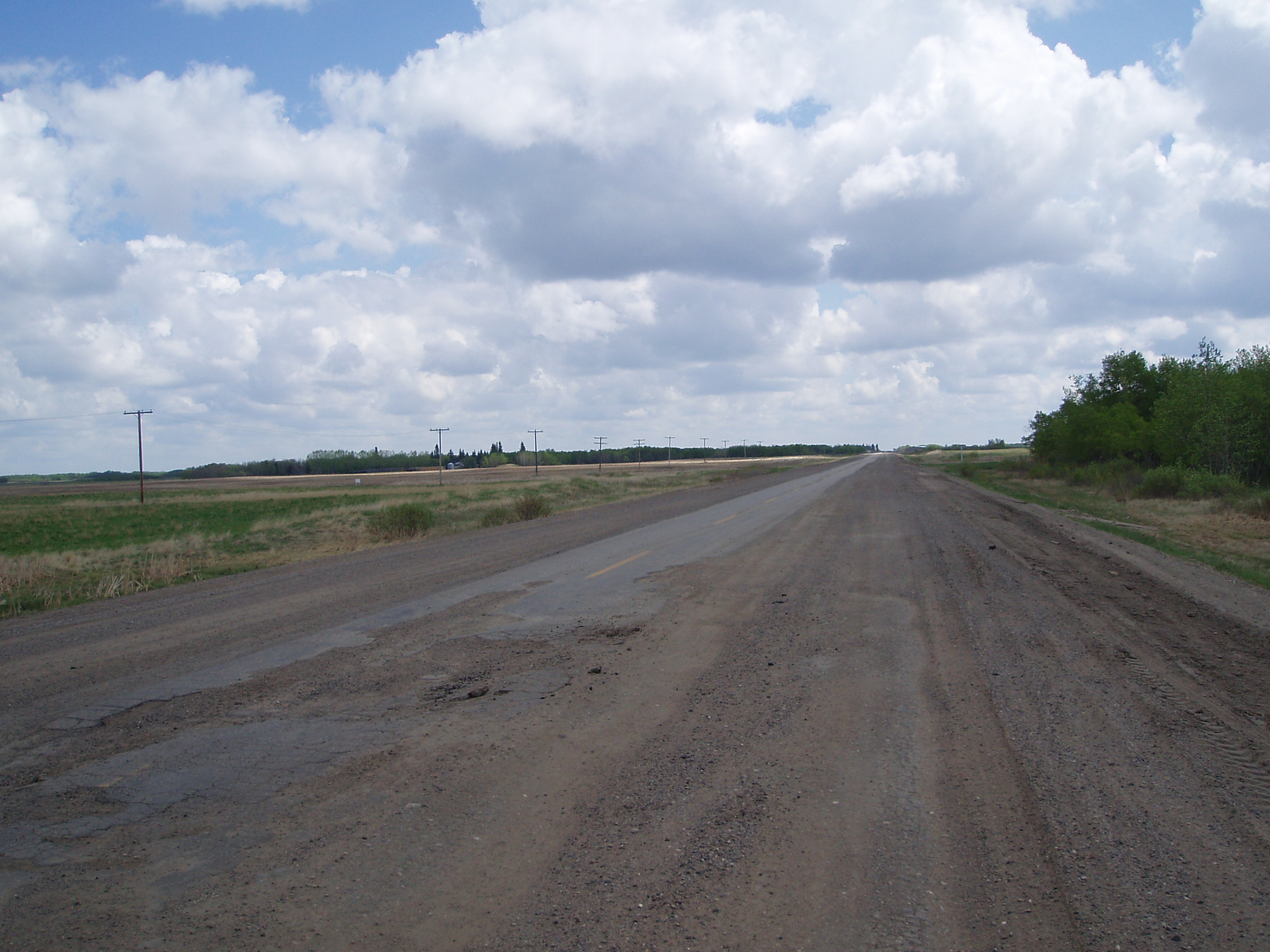
Now at this point the sand and gravel had thinned out a bit, but it’s still not quite clear from the picture that there was still severely damaged pavement under all of it, and that loose sand had just been poured into the potholes and sinkholes, and then scattered over the roadway with gravel when the road engineers decided to stop maintaining this particular stretch of road as a paved highway. That there was no gravel in the holes was evident whenever I rode over one of them, as my tires would sink into it, and slow me down as though I had just ridden onto a sandy beach.
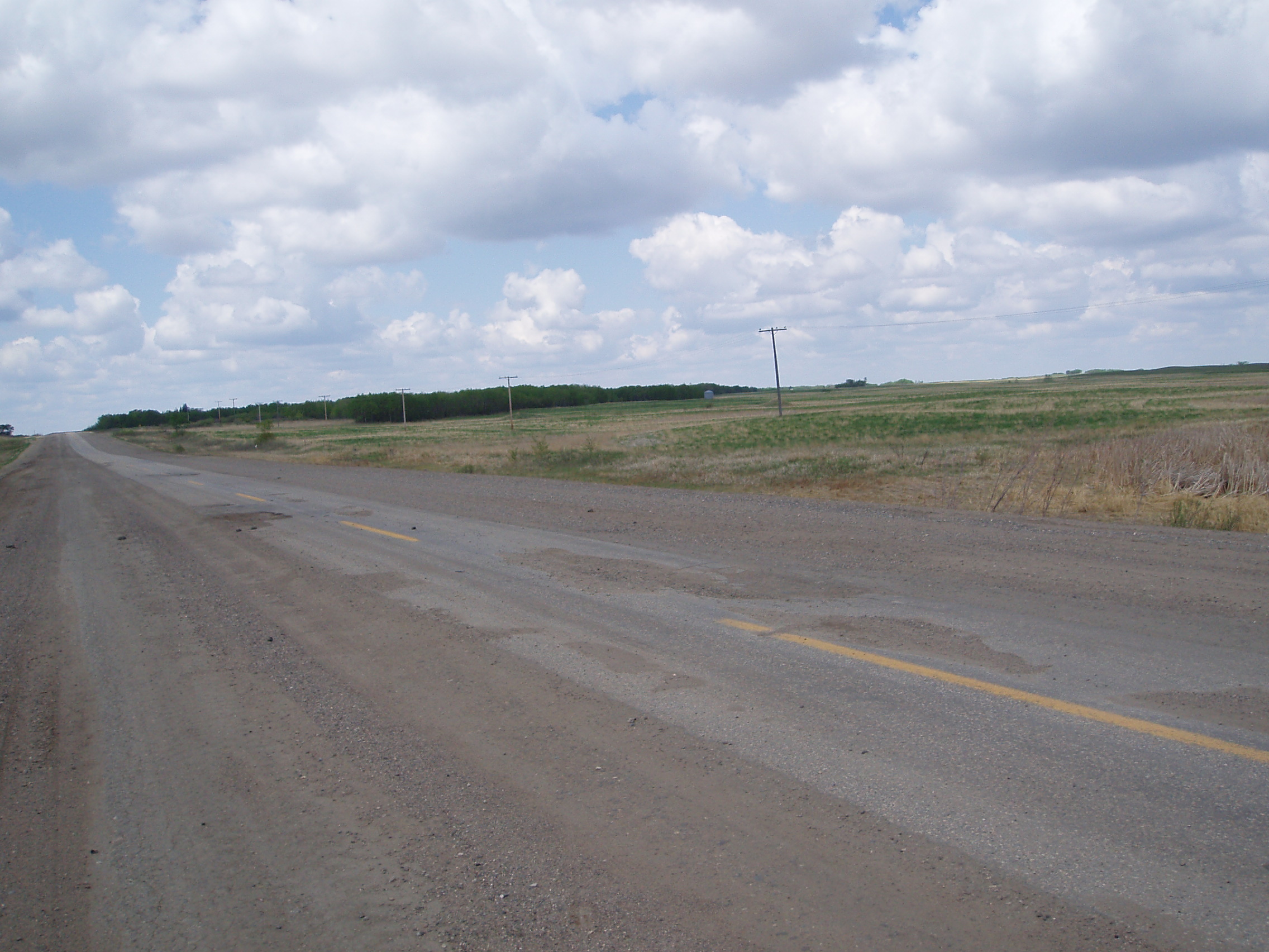
Fortunately, there were only a few km of this before getting to a stretch of road where someone had decided to keep at least a little bit of pavement in the roadway: more specifically, one lane’s worth, right in the middle of the road (though it wasn’t particularly well-maintained either)
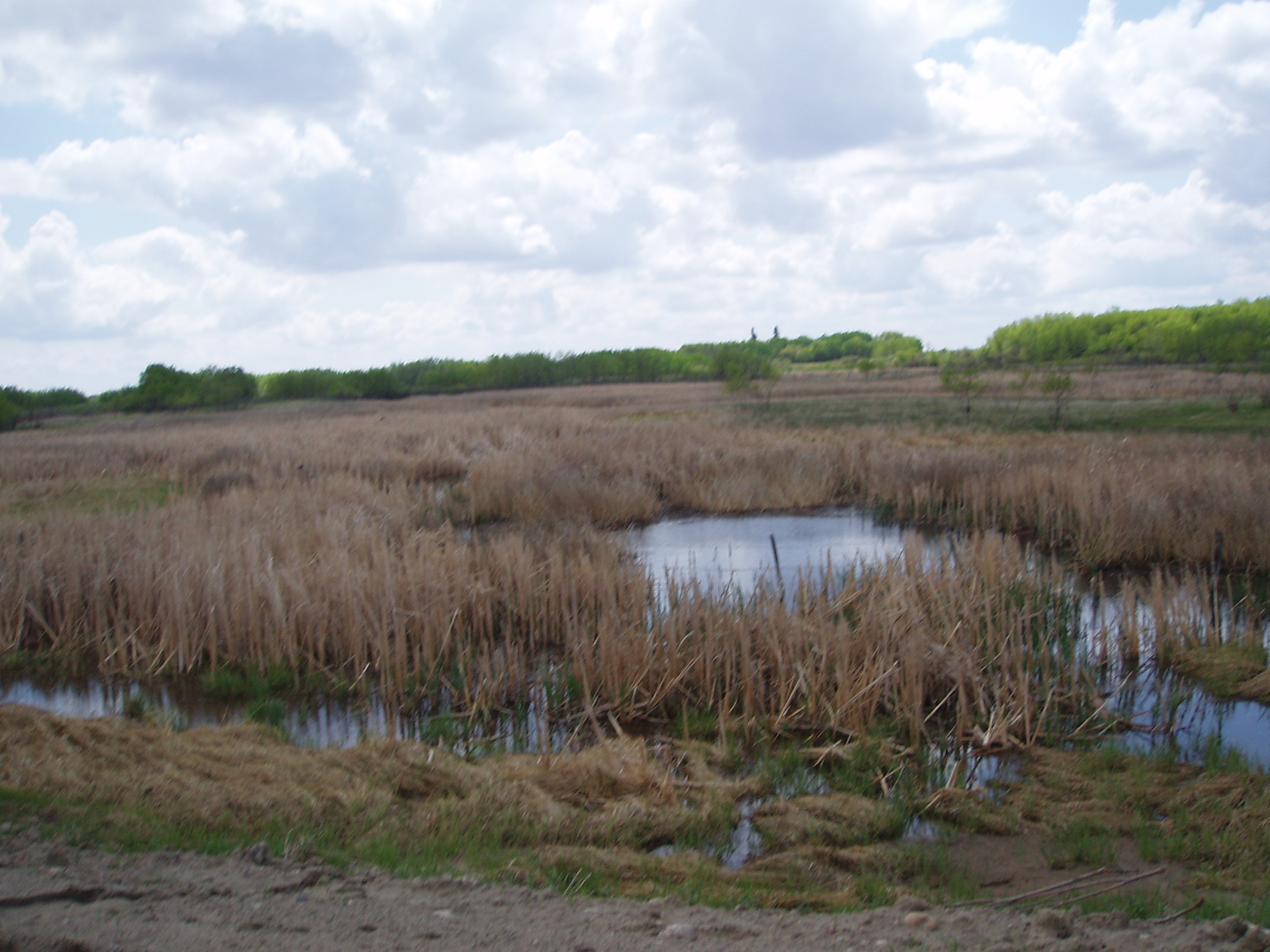
Wondering if the surrounding landscape had anything to do with some great difficulty in maintaining a paved road, I made a note (ok, picture) of that (and yes, of course, this provided me with an excuse to stop riding on that surface for a few seconds)
Fortunately, it all cleared up right around Wawota at the intersection with Hwy 603, after about 18km of somewhat difficult and stressful riding (after all, there was still the odd truck using the road!)
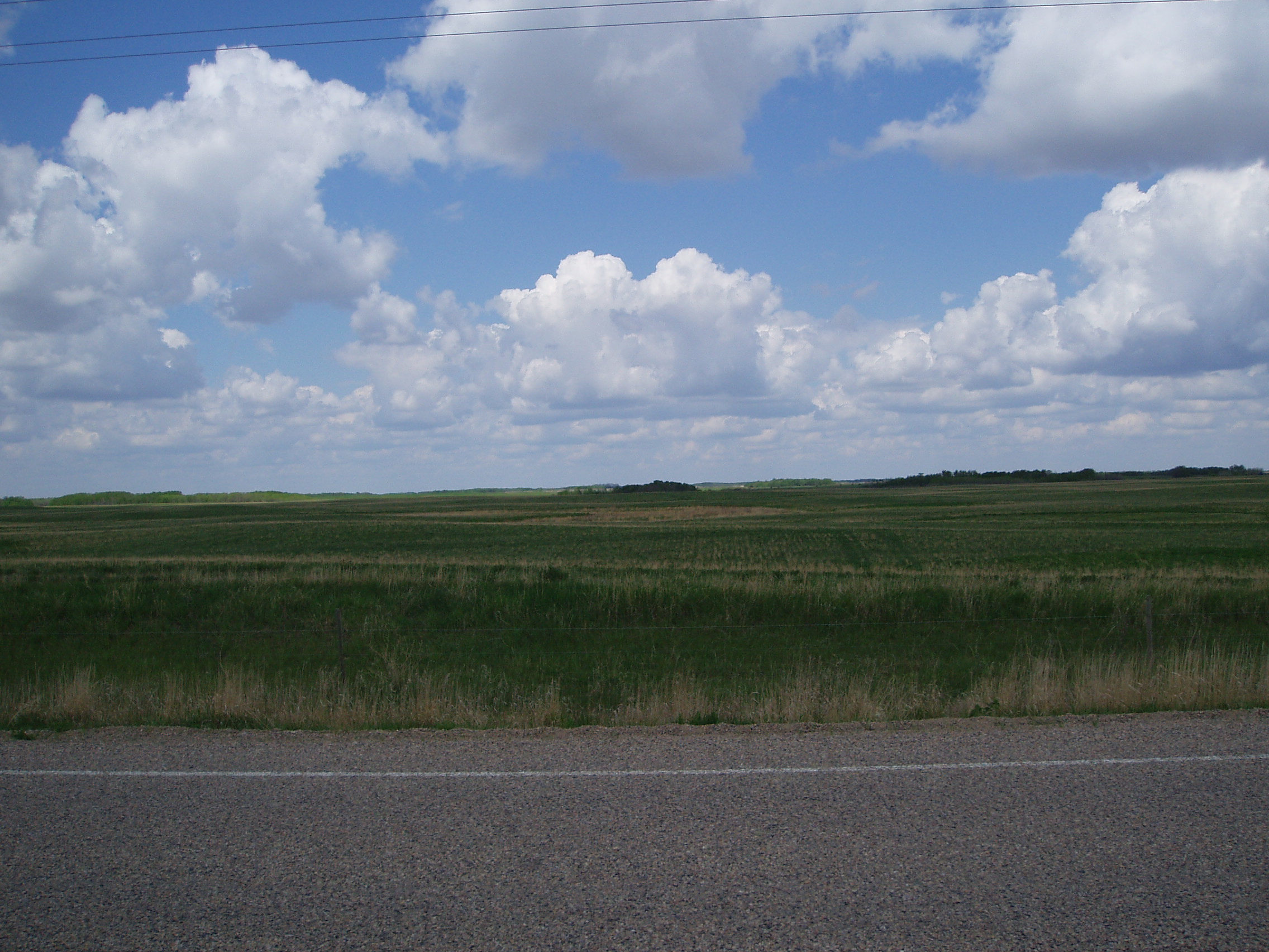
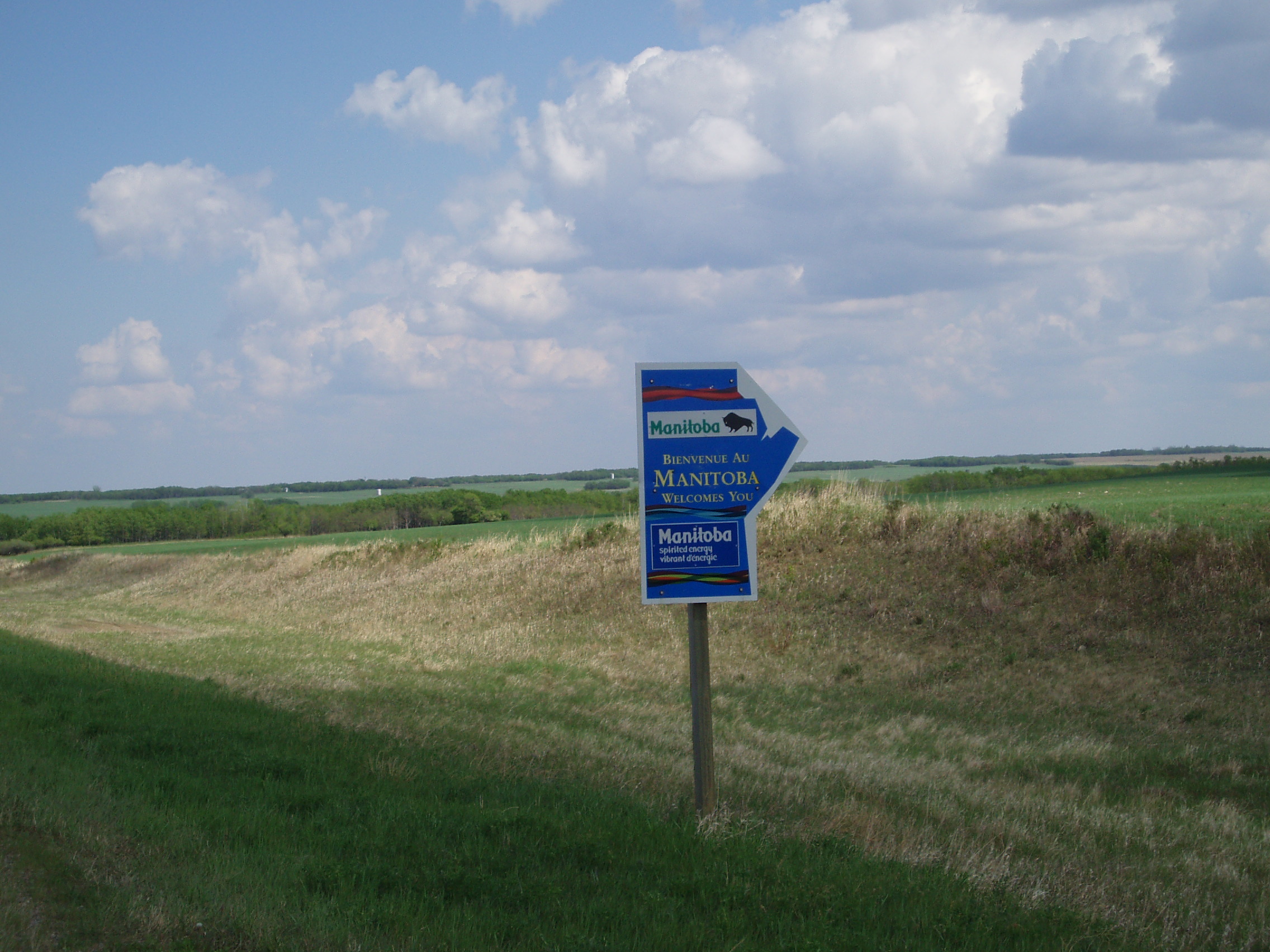
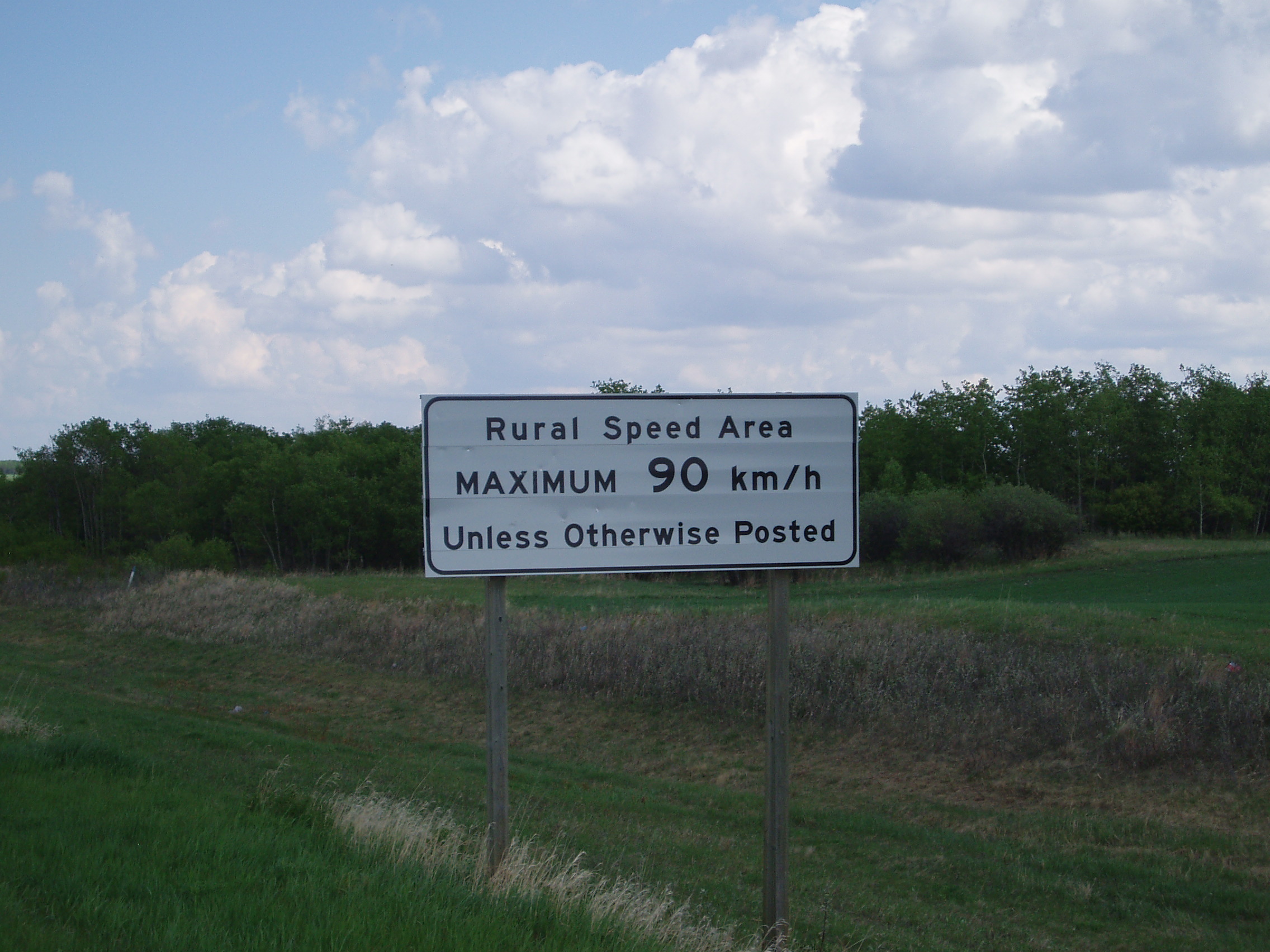
From this point, the ride continued largely uneventfully. Hwy 48 being a more minor road than the Trans-Canada, Saskatchewan merely had a sign, instead of a rest pavillion, so even without the lesson of entering the province, would still have thought to take this picture
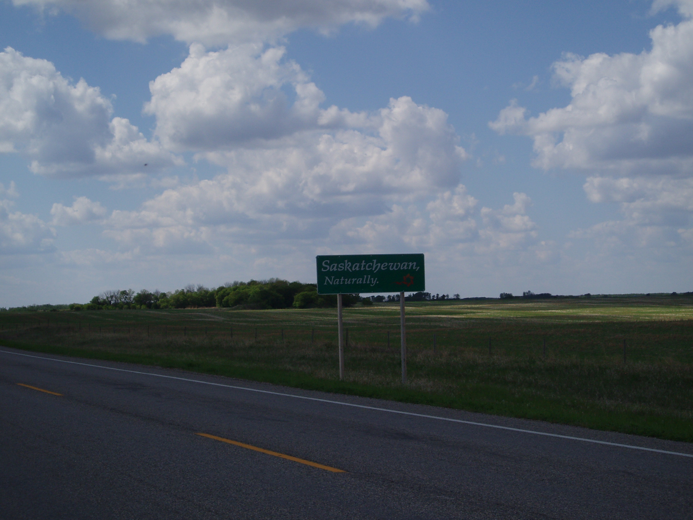
and this one
and the noting that I was crossing another time zone boundary, I once again had a false alarm looking for a clock-setting sign
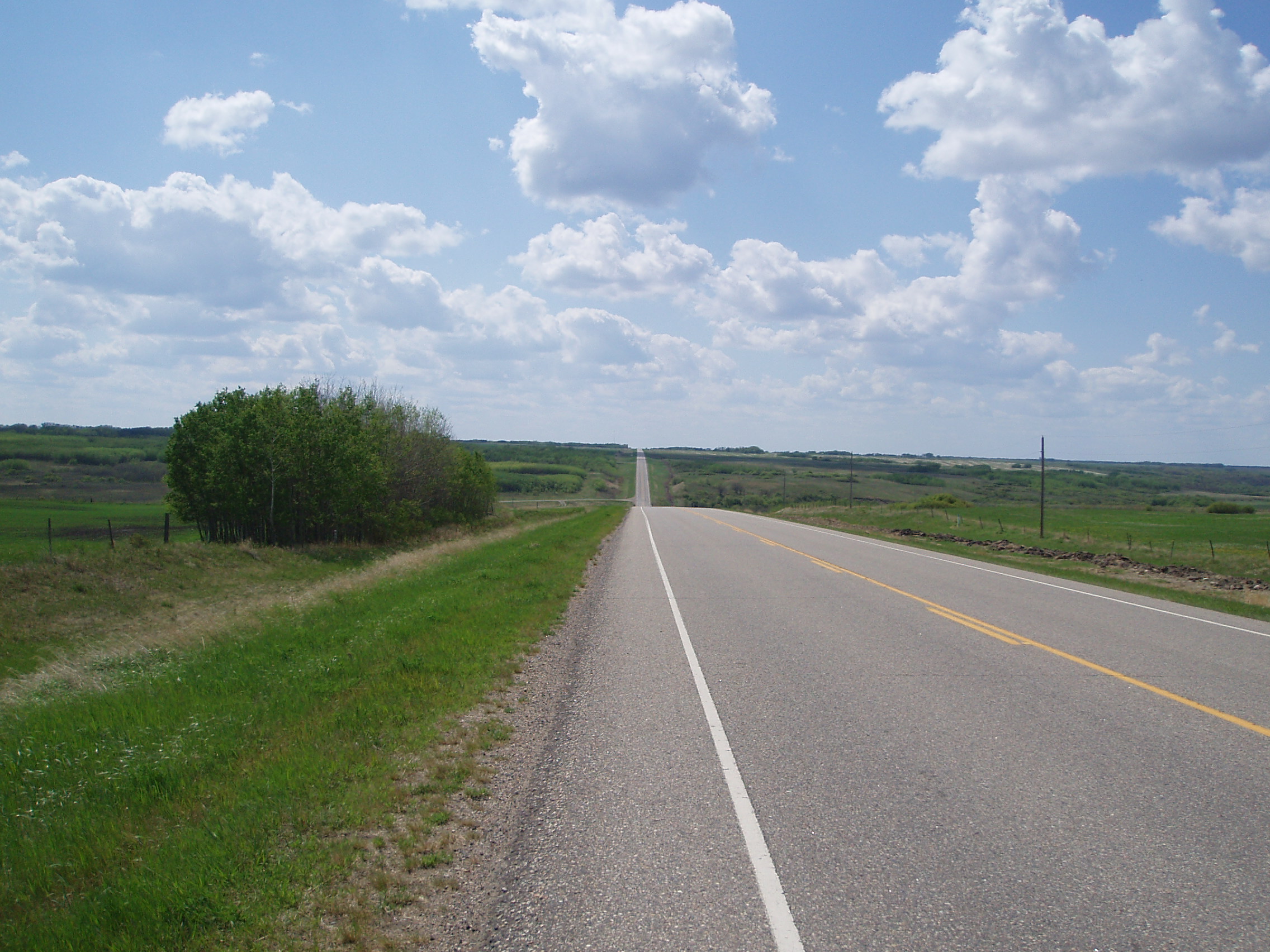
then I needed a picture for everyone in Saskatchewan who had told me “yeah, Saskatchewan’s still got rolls, but it’s all flat once you hit Manitoba” (first thing upon getting to Manitoba is having to go straight into, and then out of a ravine).
I got back to the Trans-Canada, and discovered the long stretches with no paved shoulder at all of which I had been warned (and on the basis of which, had alternate routes suggested to me).
After a good chunk of this, I was able to get to the downtown route to Brandon (while all the heavy traffic took the bypass), get some dinner (the WSL host in Brandon was away at her niece’s
graduation for the evening, so I decided not to expect her to feed me if she was already getting fed elsewhere), get to the warmshowers house, and settle in for a rest day.
