May 18: Fernie to Blairmore (~80km)
Figuring that I wanted to catch another shower (the daytimes were starting to get pretty warm and, still having bits of mountain to climb, sweaty) before leaving Fernie, I again took my merry time waking up and breaking camp, and got myself to the public pool at around 11:00am. It was due to open at 2pm, so I wandered around town a bit looking for a place where I could get a pocket Alberta road atlas, and for an internet terminal to use (guessing–correctly–that there ought to be one, even on a holiday weekend, since Fernie is something of a resort town).
I didn’t find the atlas before finding the Internet, killed some time on it, had my shower, and then started riding out, hoping to score an atlas when I actually got into Alberta. But then on the way out, there was a Canadian Tire, and it had the desired atlas in stock, so I grabbed one, and picked up a few replacement nuts and bolts (since I’d replaced a missing nylon lock nut with a plain nut back in Princeton, and wanted to have a few extra pieces on hand in case that nut (or any others) decided to leave me). All said and done, I got out of Fernie at around 3pm.
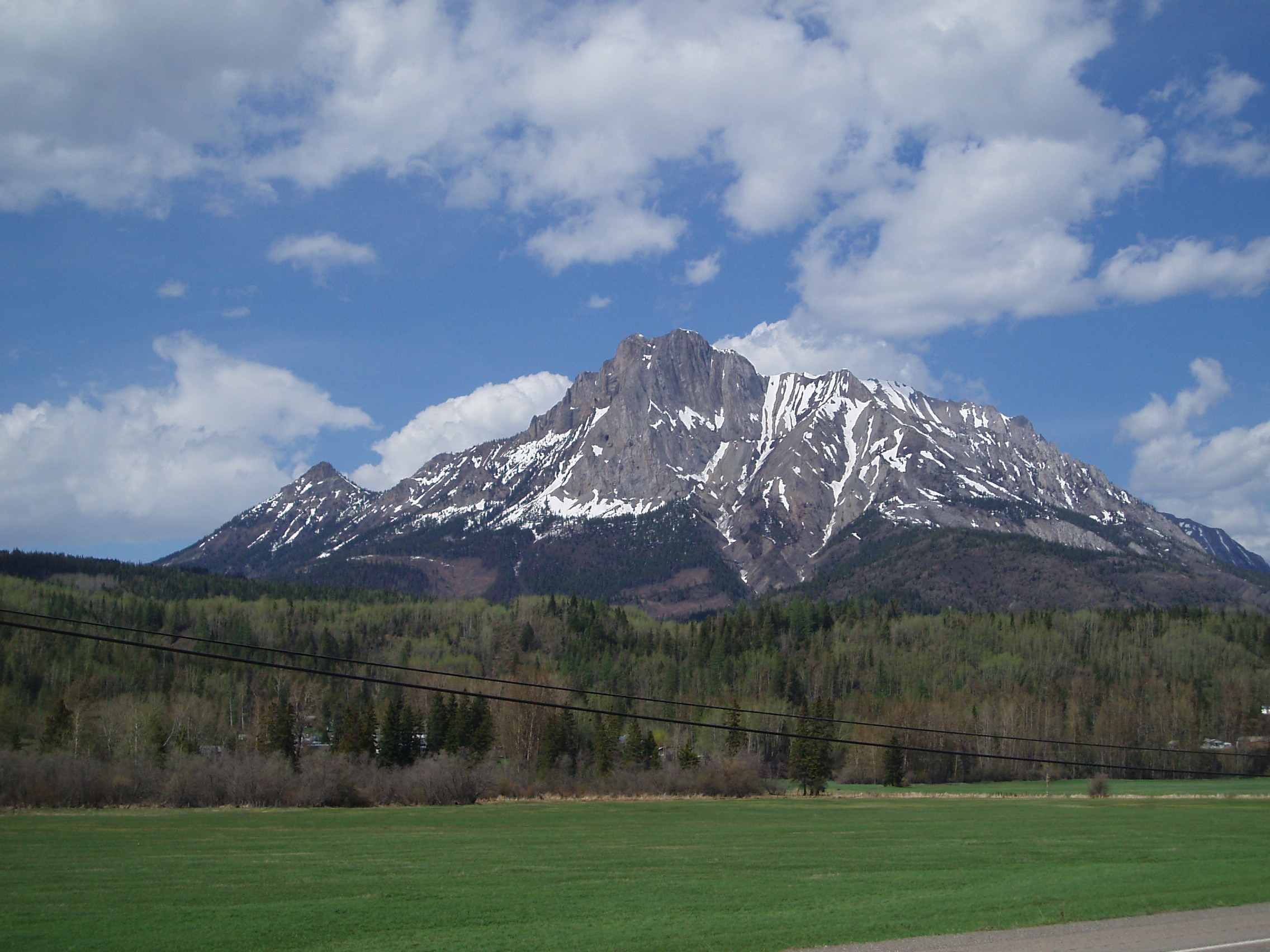
Stocked up, I continued towards the pass, but made sure to get a few shots of the local mountains, which are kind of astoundingly rocky and barren in a lot of places:
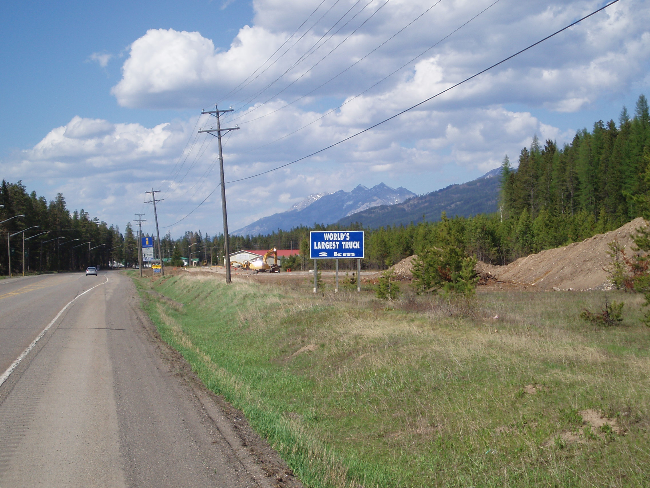
Approaching Sparwood, I saw a sign for the local tourist attraction that I just had to take a picture of: not only is it some roadside “world’s biggest” (though I hear that it’s since been outsized) it’s the World’s Largest Truck!
Naturally, I stopped by to take a picture (and top up my water), with my bike leaning up against the front wheel to provide a proper sense of scale:
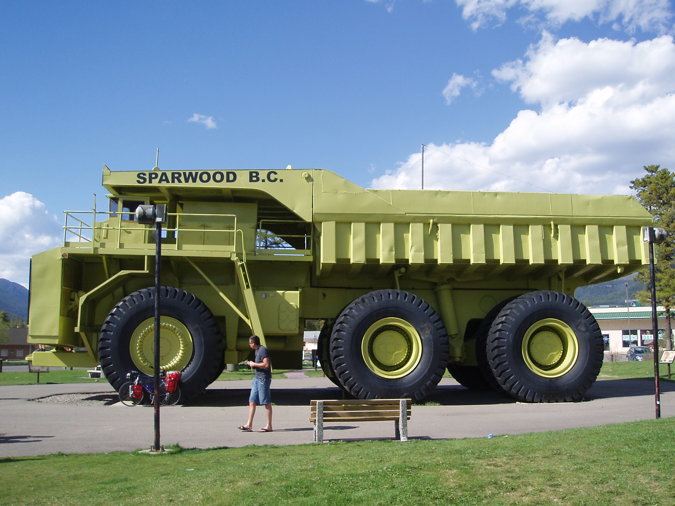
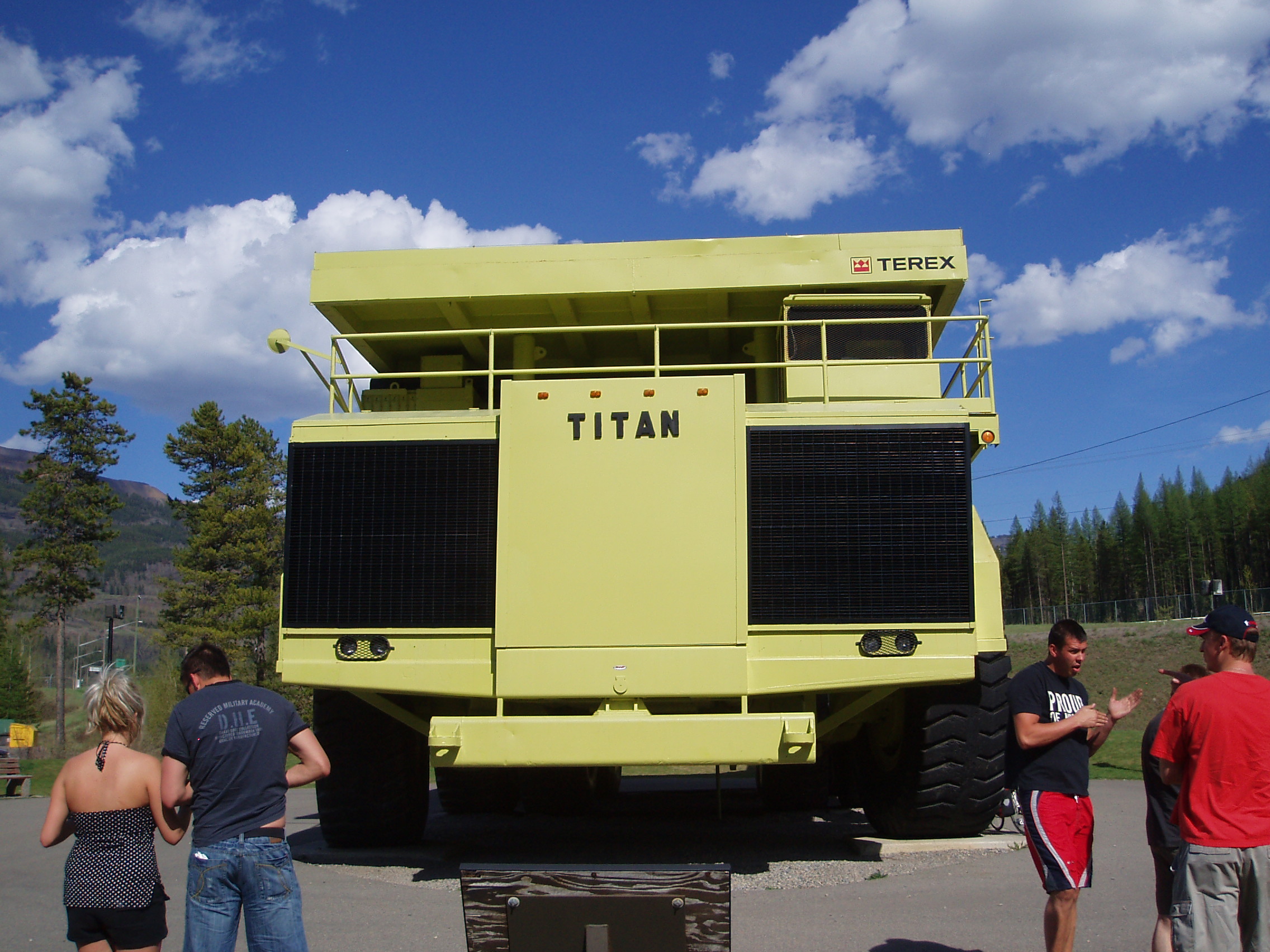
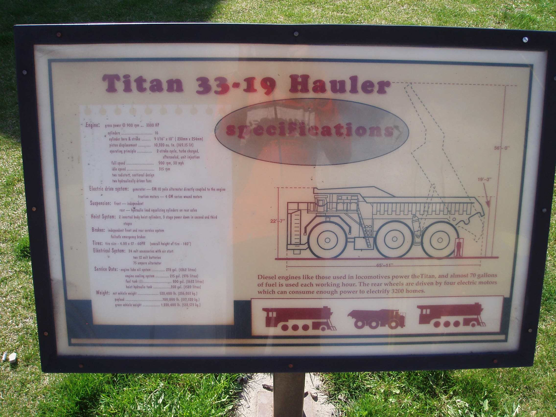
Now a truck like this naturally raises some questions, like just how big is it:
or what could it get used for:
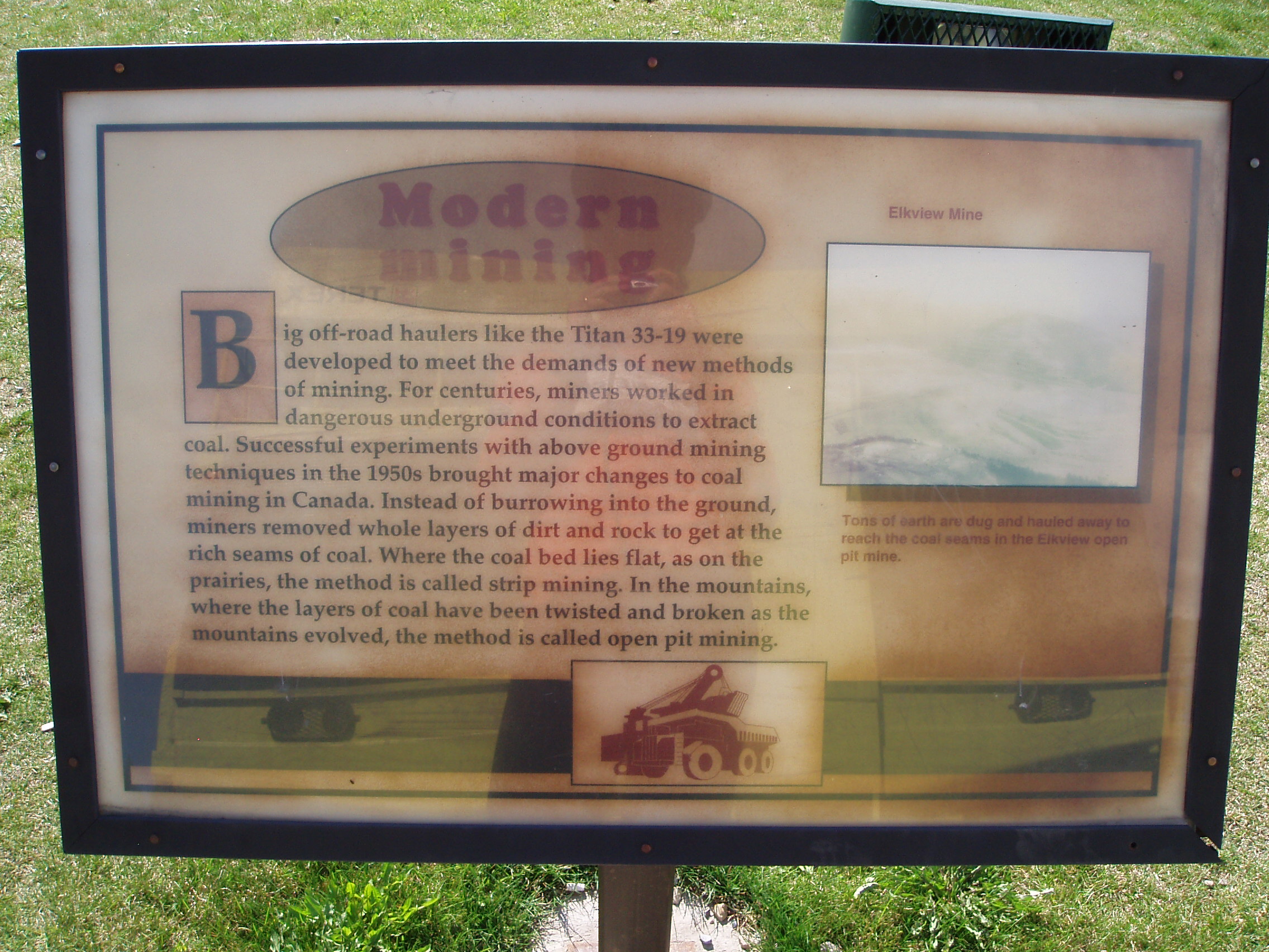
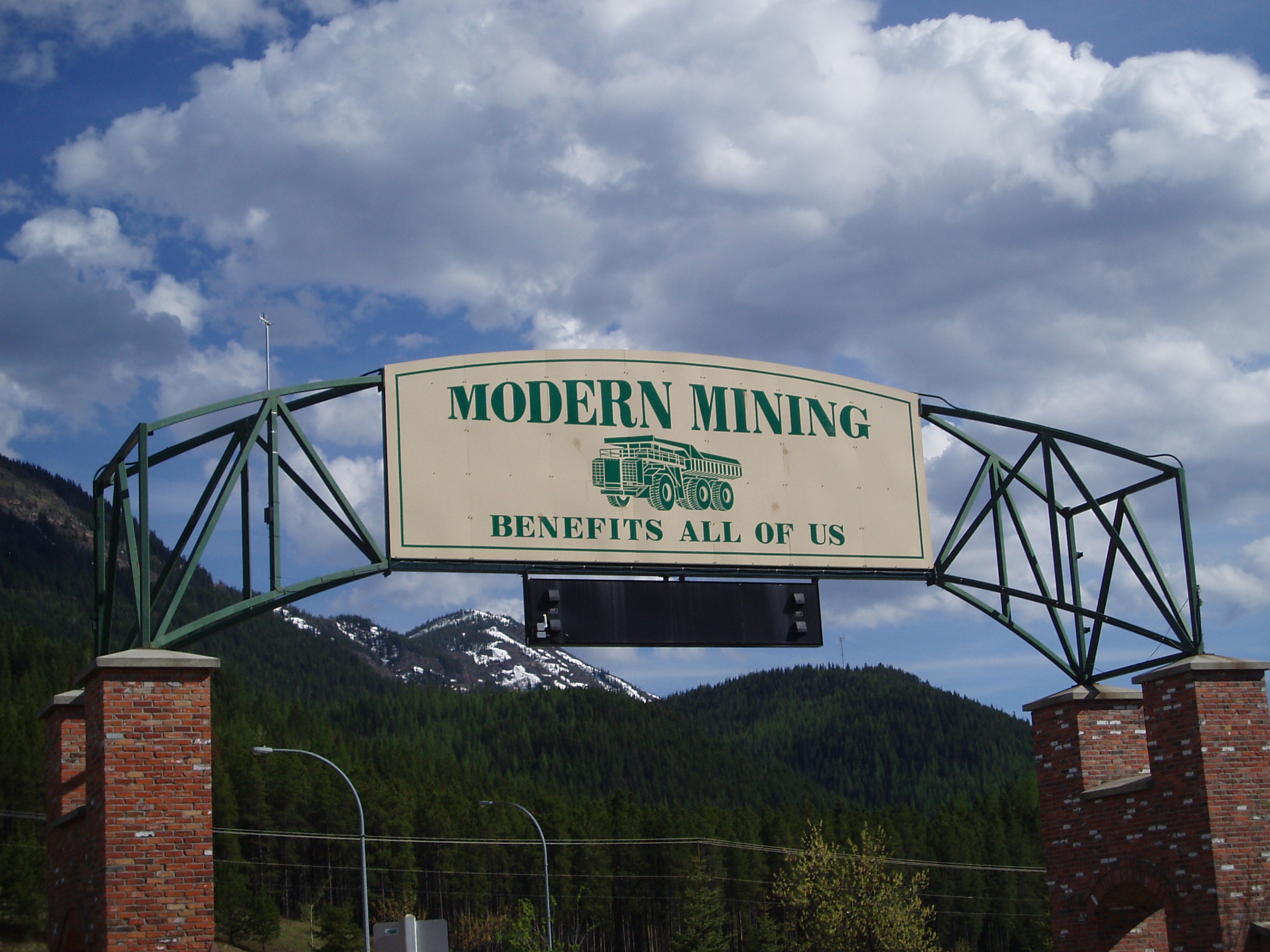
Well there you go: innovative, safer, new methods for coal mining called (depending on the context) “strip mining” or “open pit mining”. You see, out in your fancy spoiled parts of the world, you might call it “massive ecological devastation”, but over in Sparwood, they call it “Progress”:
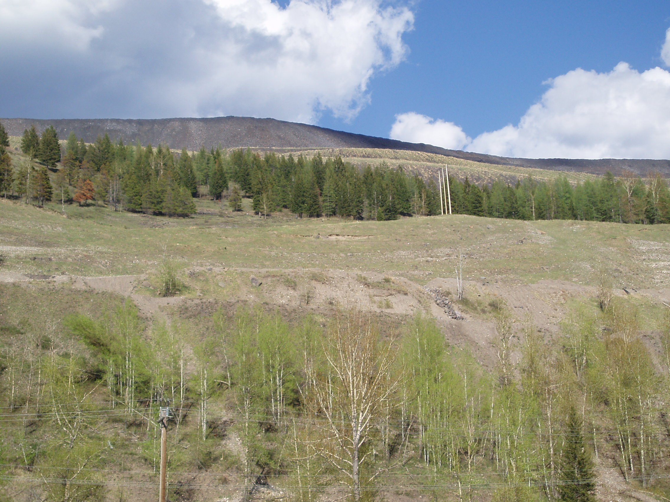
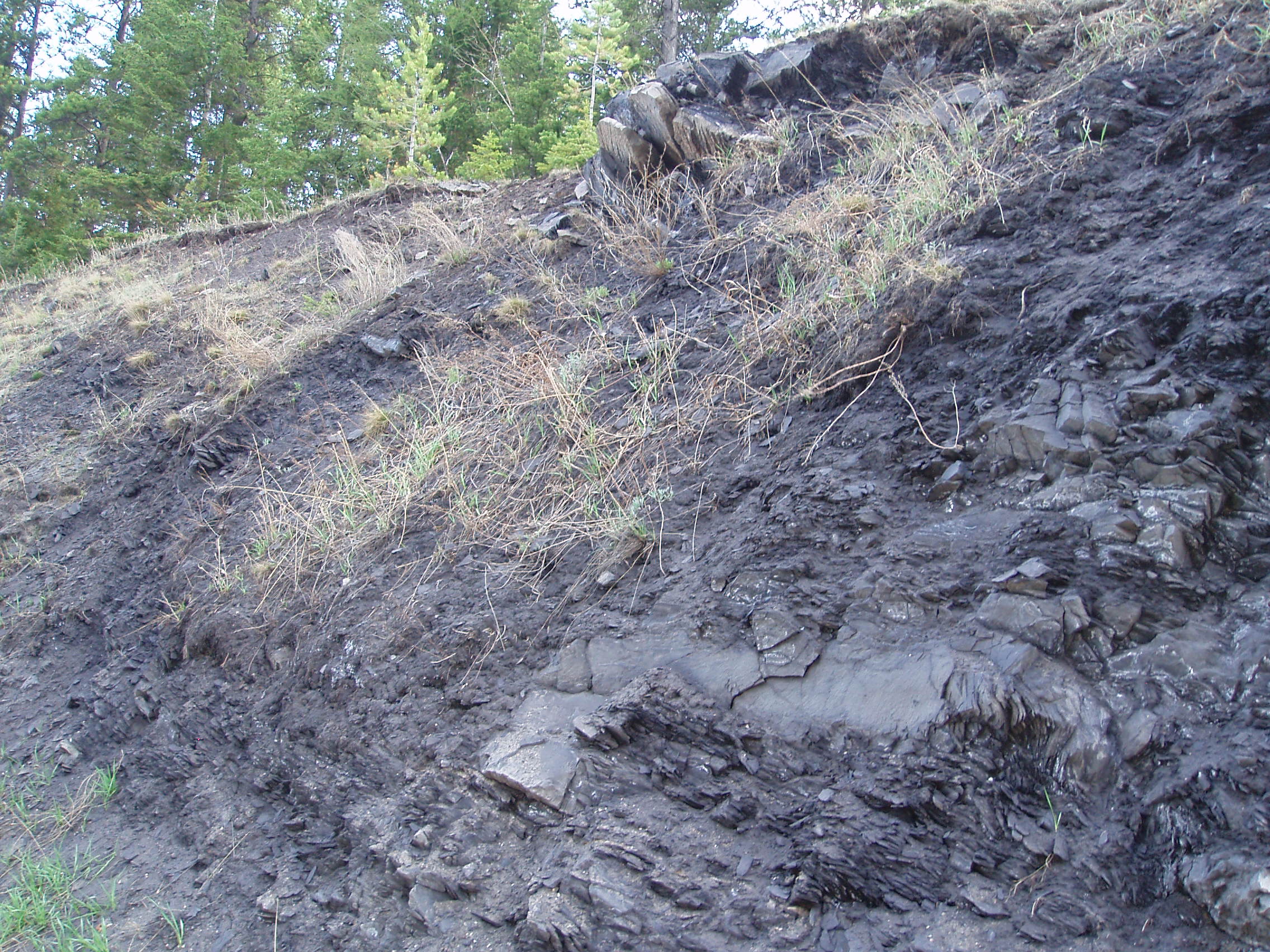
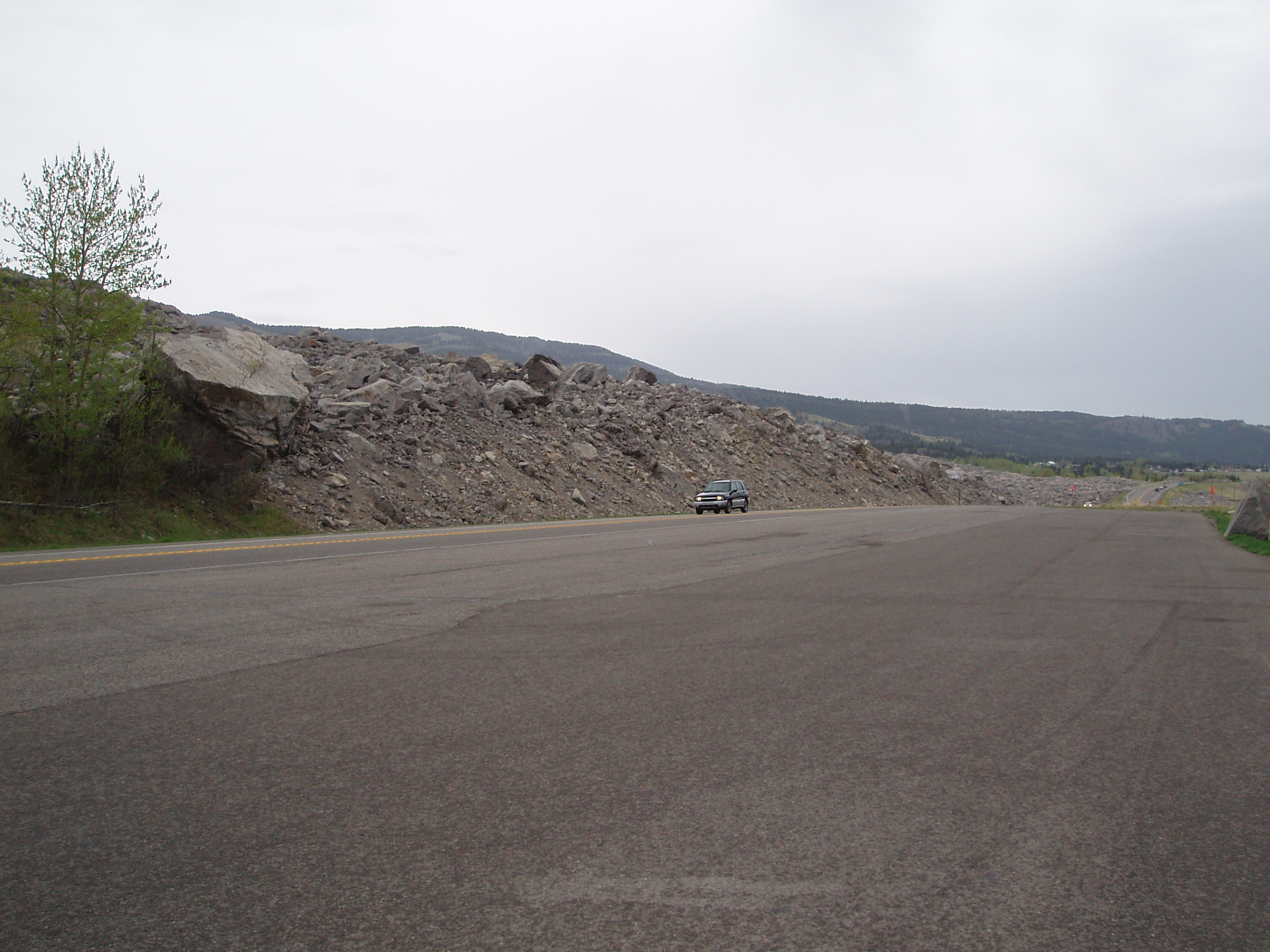
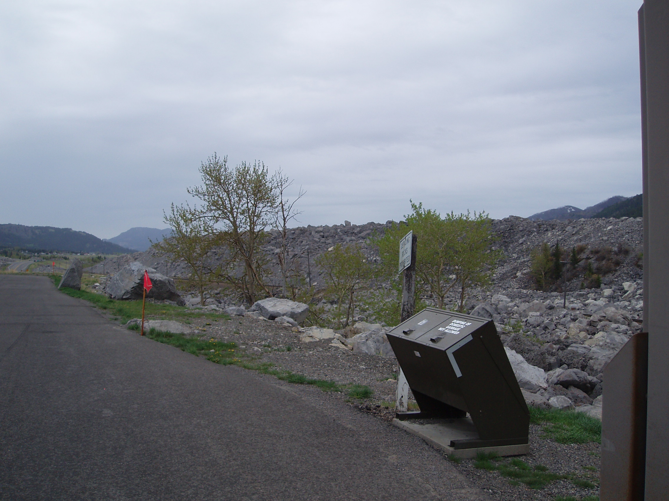
And sure enough, there’s a good deal of progress in the area. Indeed for several km out of town, looking up at the mountain ridges, the highest crest was all some sort sort of rubble/slag/tailings from the mines:
Anyhow, I kept riding, after seeing this promising sign:
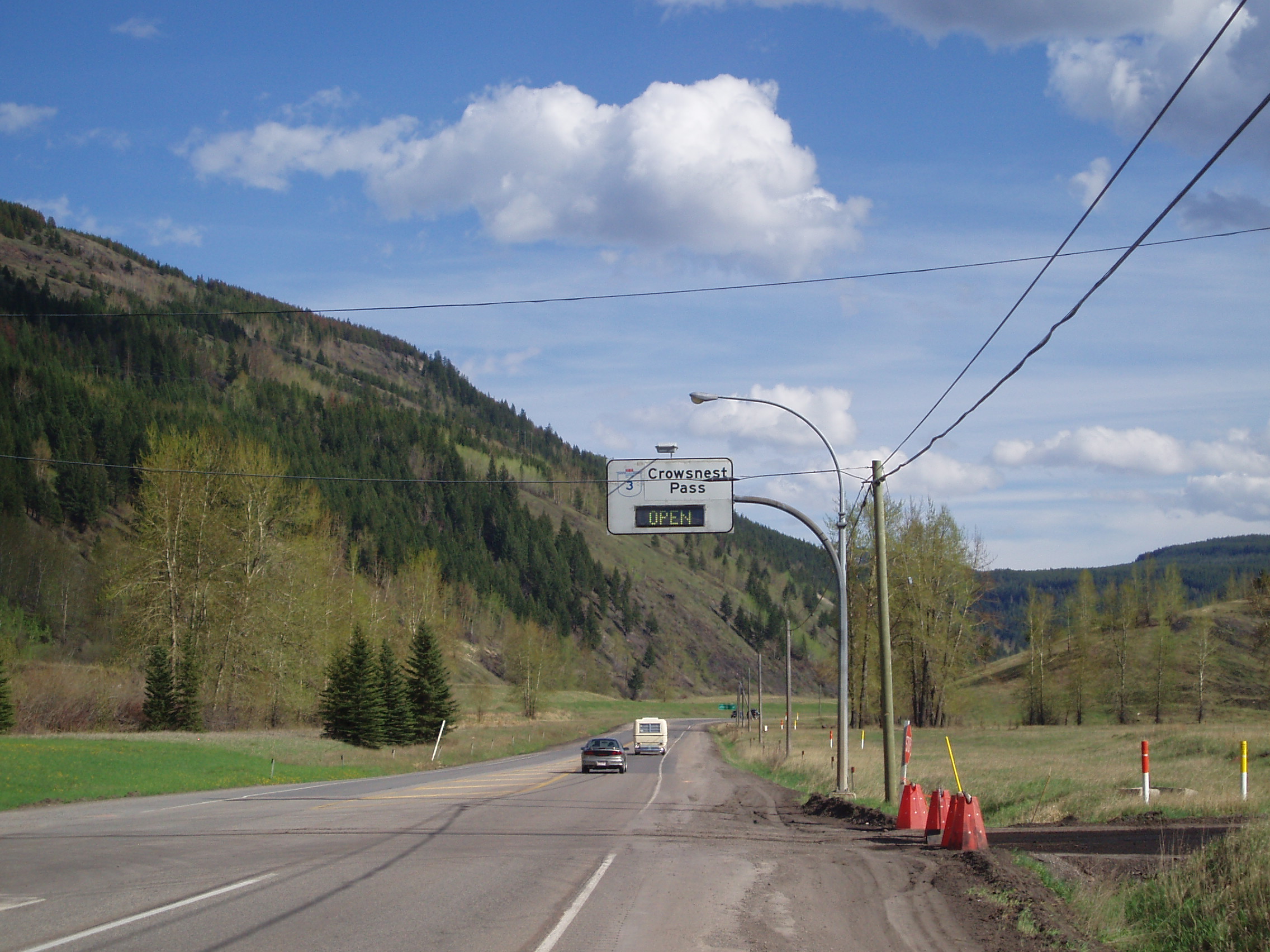
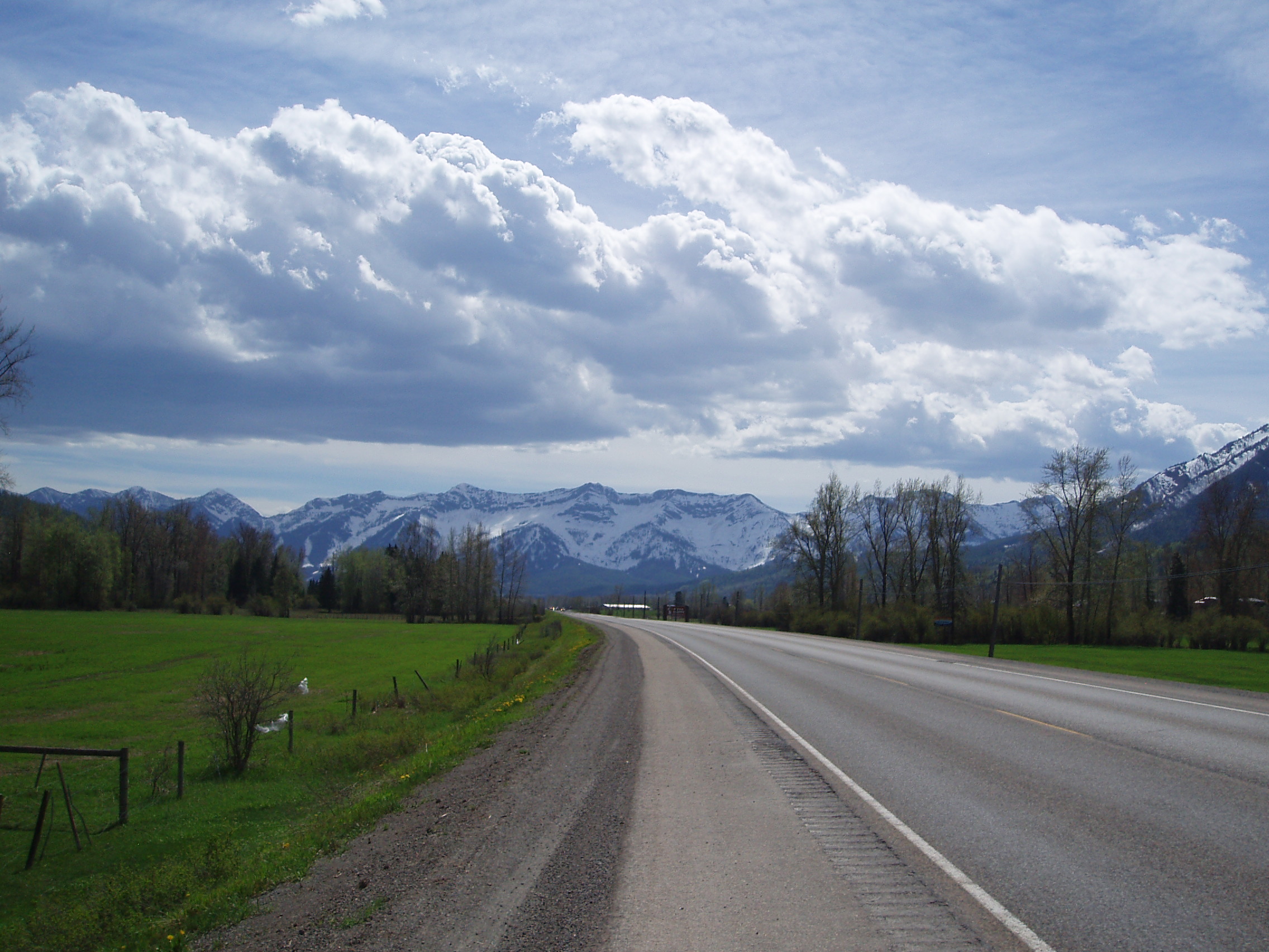
not that I’d expected it to be closed, and continued to take pictures of random bits of interesting scenery or objects (which I can no longer be bothered to describe, even if I can remember what I was shooting).
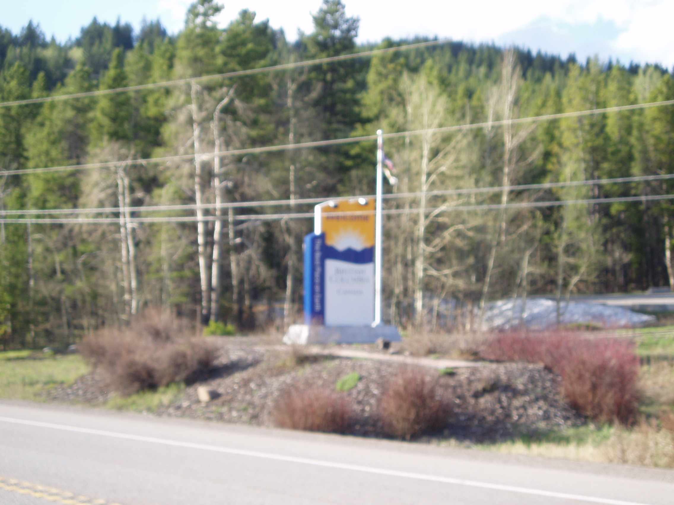
I made the pass at around 6:30pm, took a (blurry) picture of the welcome sign for BC as I left it behind
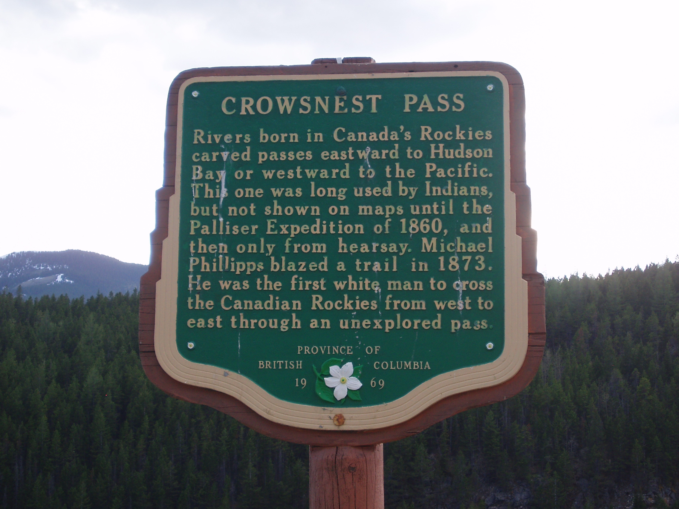
a picture of the historical information marker at the pass itself
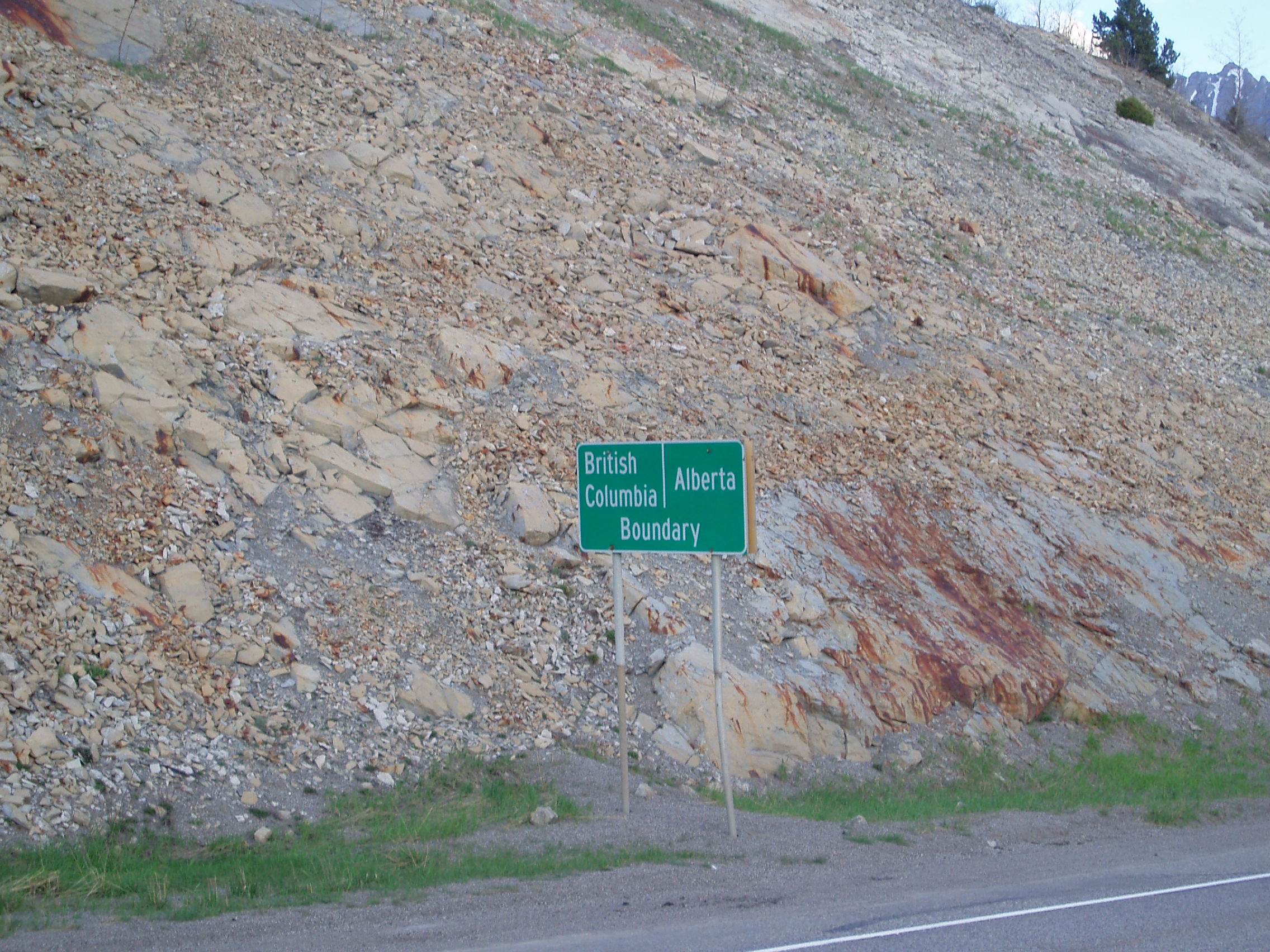
after which, I grabbed a piece of stone from what seemed to be a point at the peak of the road (and therefore on the continental divide) to toss into my bottle half-full of Pacific Ocean water, took another picture of the sign marking the boundary
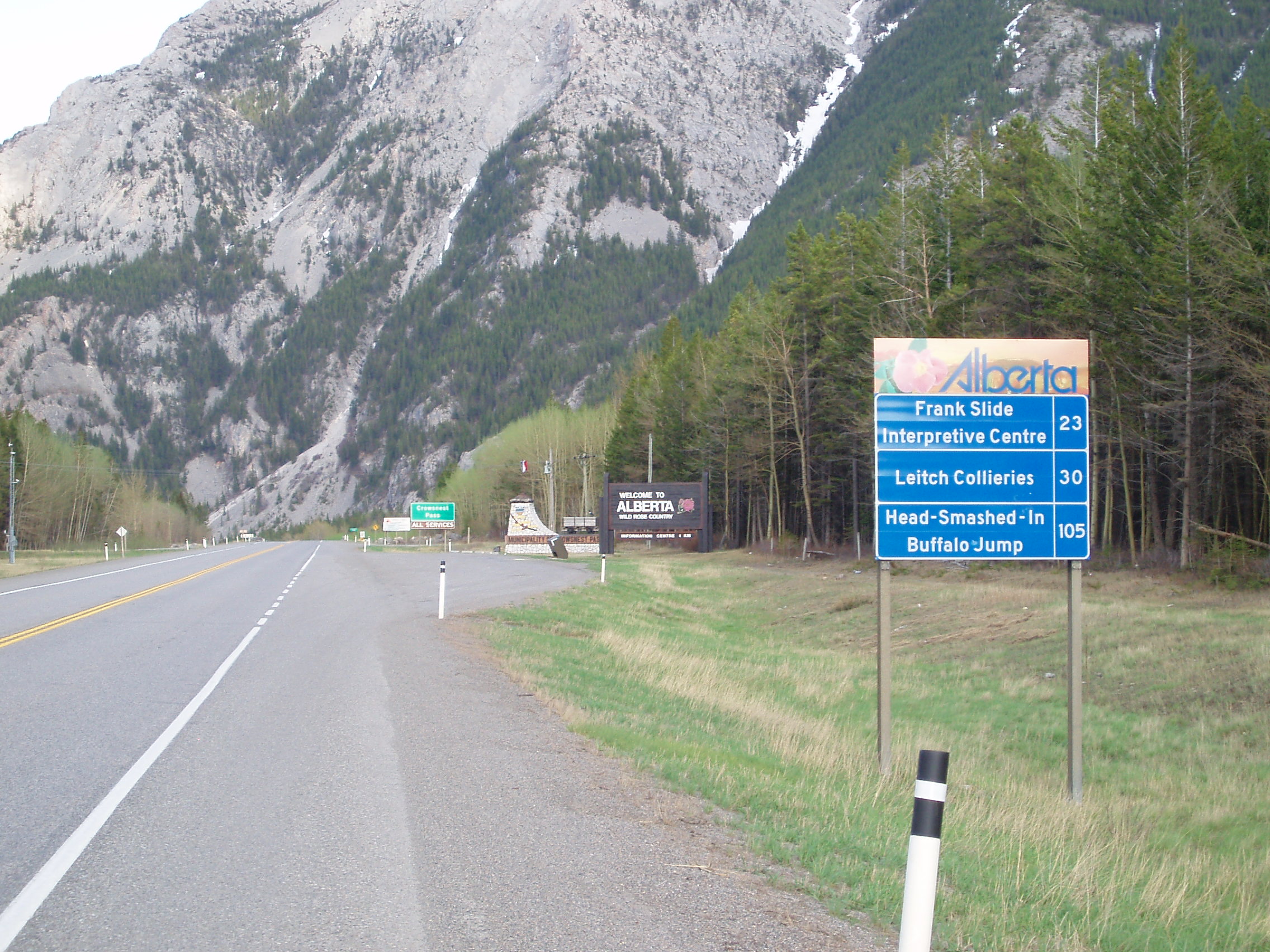
and a shot of the sign welcoming me to Alberta
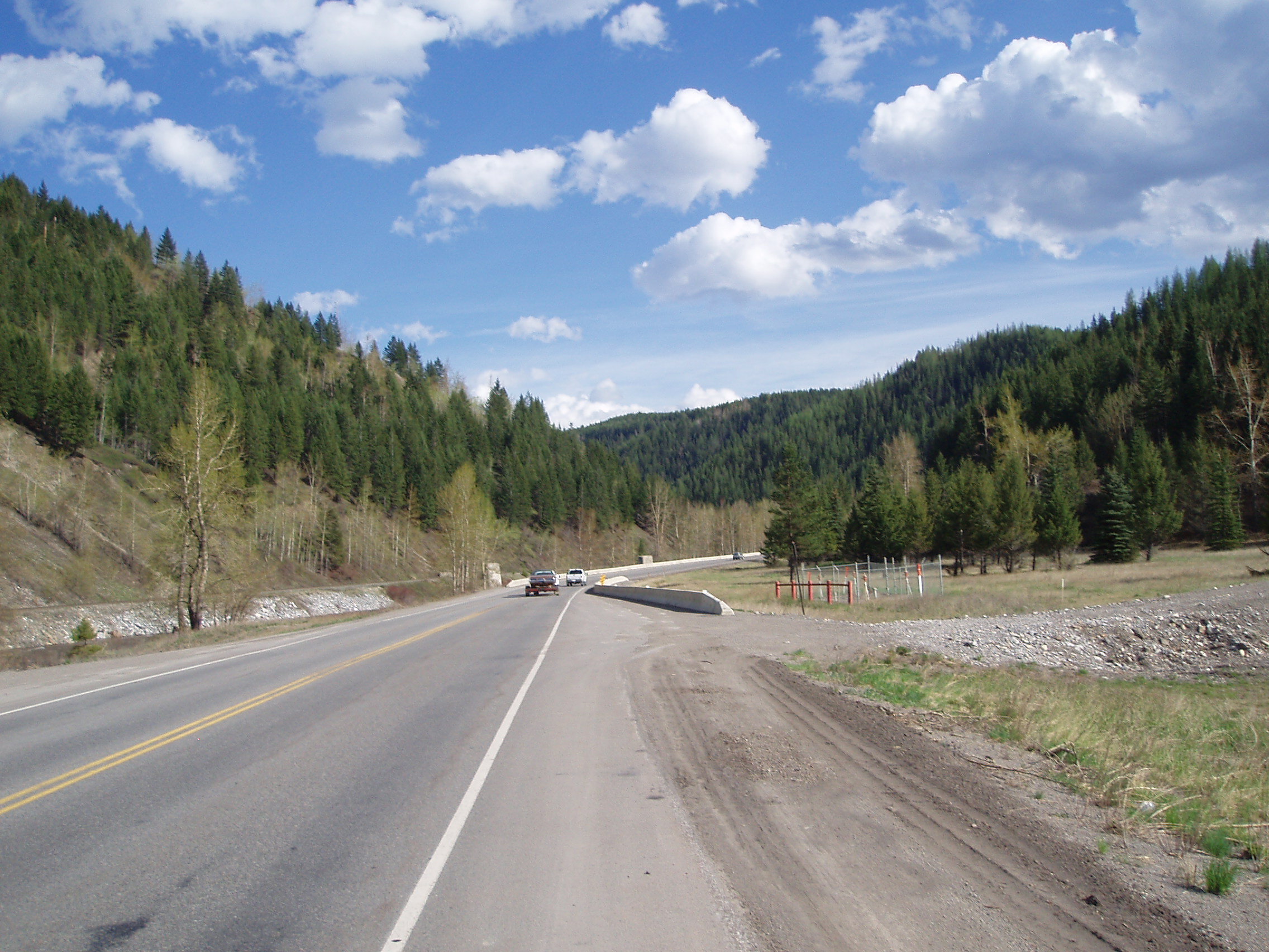
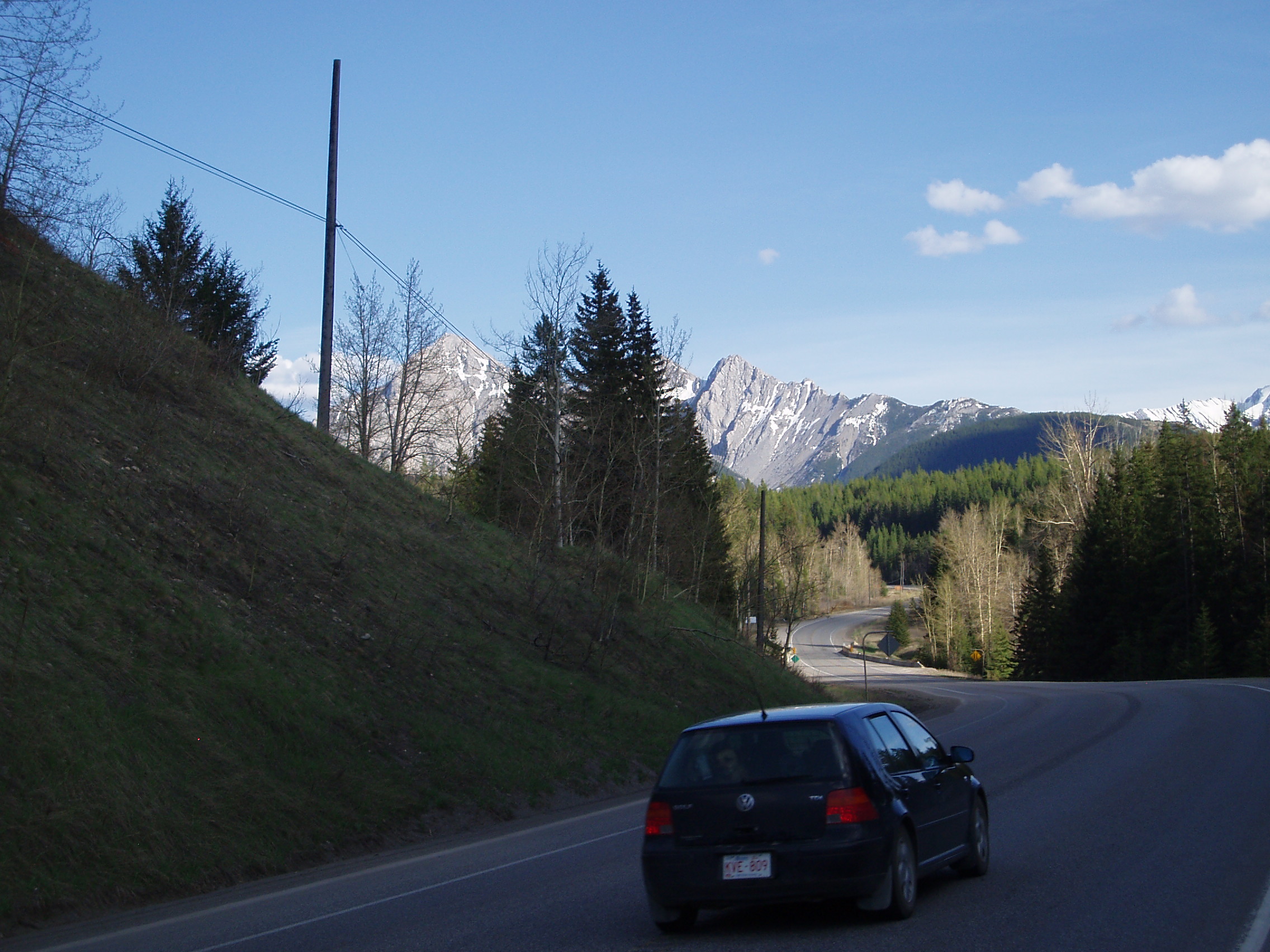
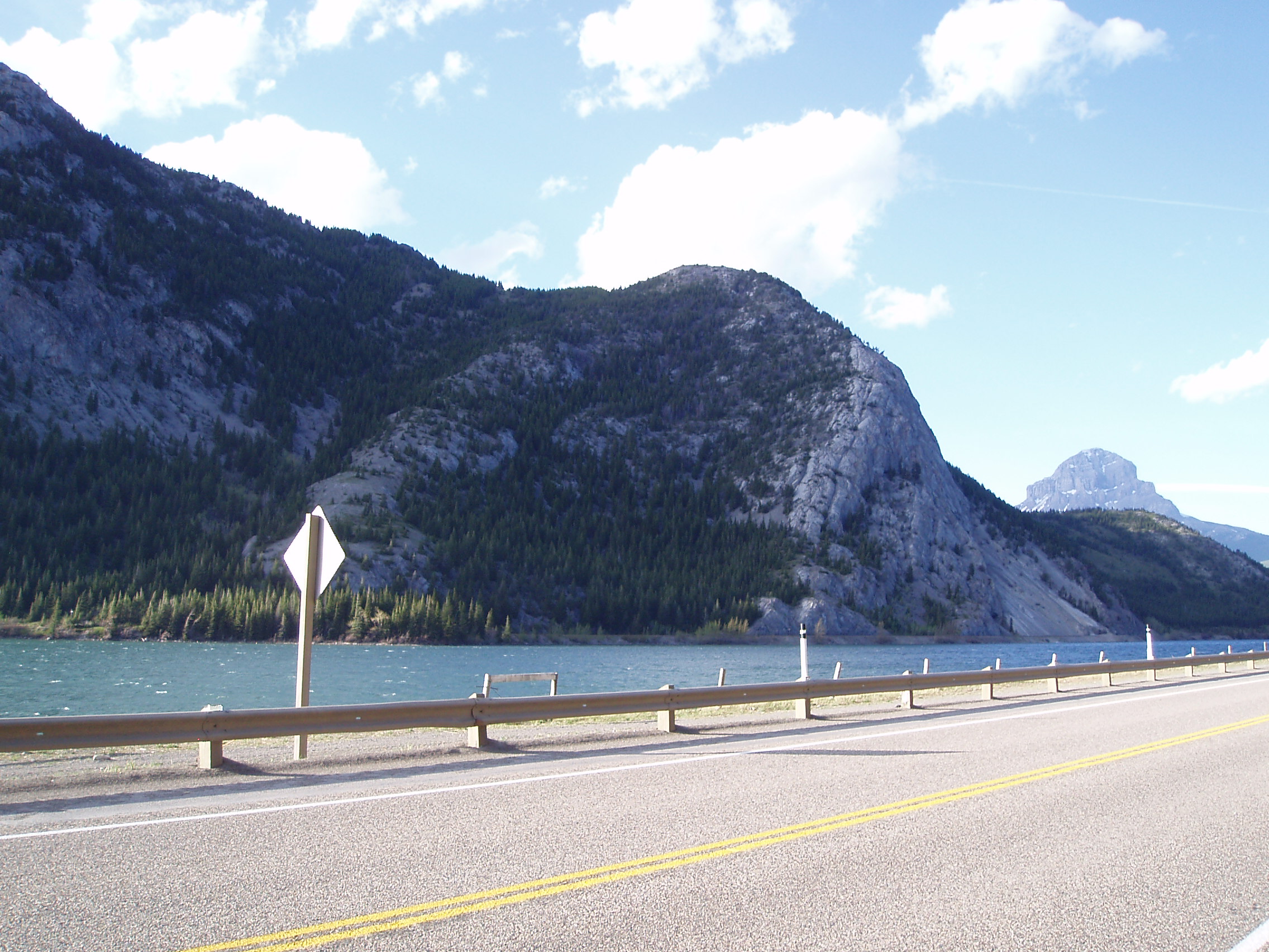
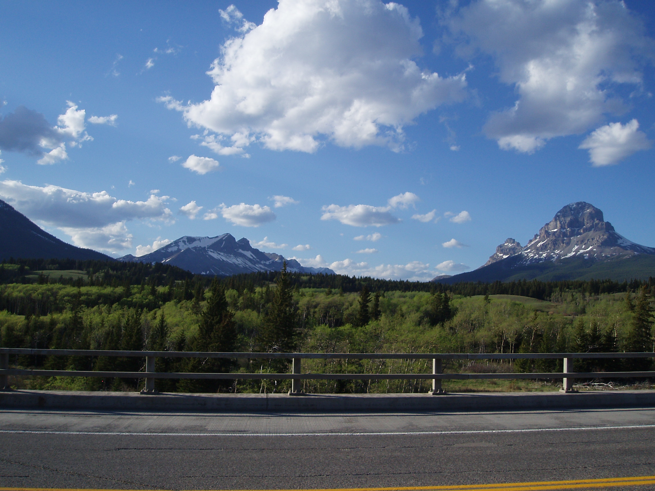
Again, there was more beautiful scenery to be enjoyed as I looked for a suitable place to make camp (being on the lee side of the divide meant less vegetation, which meant no suitable tree branches for bearproofing my food, so this was tricky).
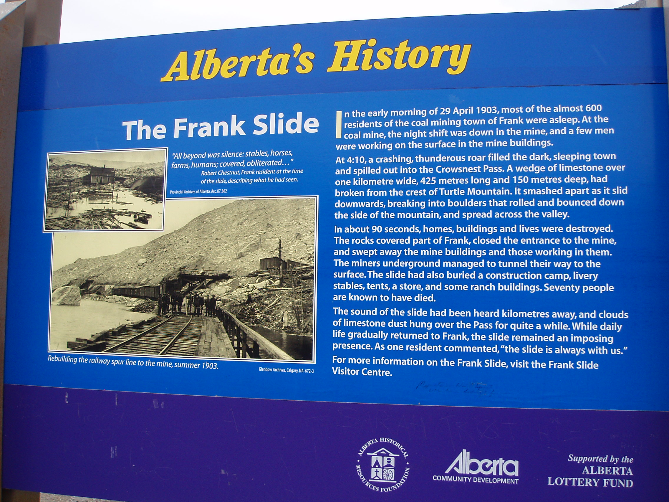
This search took my past the Frank Slide, the site of a catastrophic landslide that had me wondering of shockwaves from underground blasting had triggered the slide, and if they had, is open pit mining really all that bad:
Finally, I decided to pull off into Blairmore to look for a decent place to camp, and settled down in the yard behind the local Anglican/United Church.
